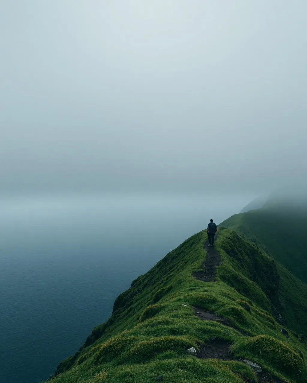
The Postman’s Path.
The mountain route the mail walked three times a week.
Until the tunnel opened in 2004, Gásadalur’s post came on foot from Bøur — 3 kilometres over a 434-metre shoulder of mountain. The old route is now the finest short hike on Vágar.
- 01Postman’s cairns still mark the line
- 02The Atlantic stays in the corner of your eye the whole way
- 03Steep out of Bøur, gentle into Gásadalur
- 04One hour of history underfoot
The place, as it lets itself be seen.
How the weather
behaves here.
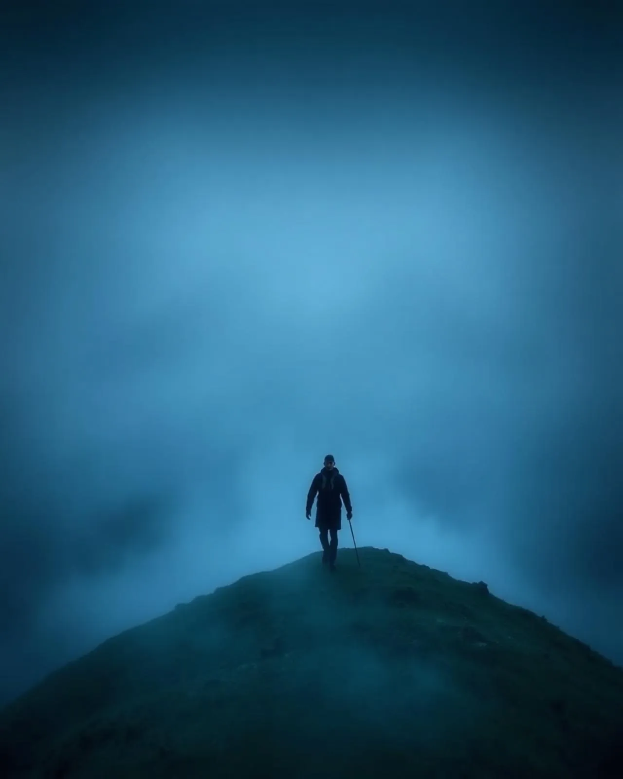
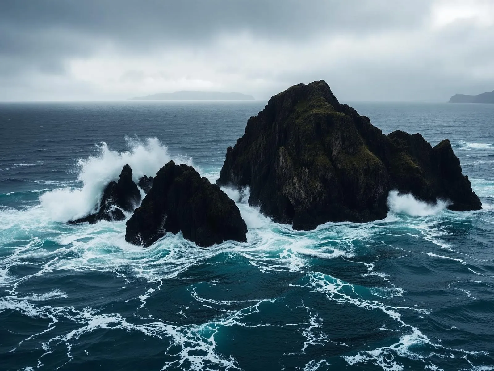
Read the air before you arrive. Fronts pass fast in the Faroes — fog, wind, and light can rewrite this place within an hour.
How to arrive,
how to stay.
- Access
- Trailhead past the last houses of Bøur · finish in Gásadalur
- Parking
- In Bøur or Gásadalur · arrange the return leg
- Difficulty
- Moderate
- Duration
- 1–1.5 hours one way · 3 km
- Best season
- May–September · settled weather
- Crowd level
- Quiet
- Drone
- Permitted
- Safety
- Narrow, exposed sections · turn back if cloud drops
A field guide
for the light.
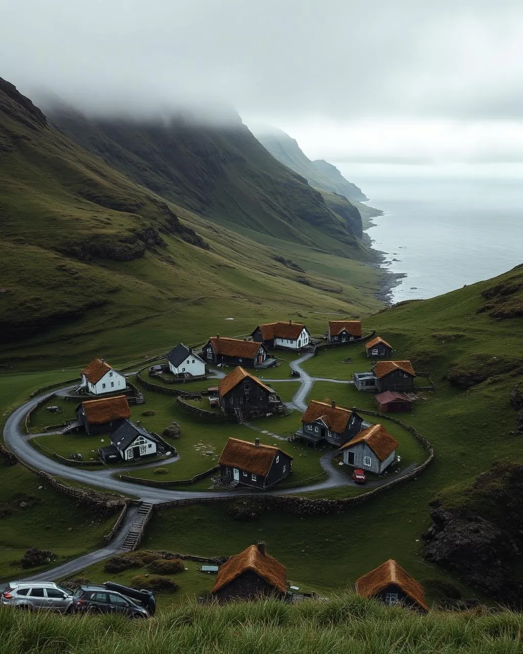
Broken cloud — the path keeps entering and leaving the light. Shoot the descent into Gásadalur with the village small under the wall of mountain.
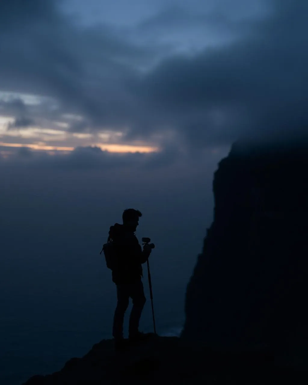
- 24–70mm standard
- 16–35mm for the descent view
Legal along the route — mind the updraft at the shoulder.
June for green · September for low light
62.10° N · 7.40° W
Surrounding villages, hikes, and weather overlays — open the full atlas to explore in motion.
Within an
afternoon's drift.
Three times a week, uphill.
“The tunnel took ninety seconds off a journey that used to take a morning. Something was gained. Something was not.”
For most of a century the postman climbed out of Bøur with Gásadalur’s letters, over the 434-metre shoulder, past the resting stones that still carry his name, and down the zigzags into the valley of geese. Three times a week, in whatever the Atlantic was doing that day.
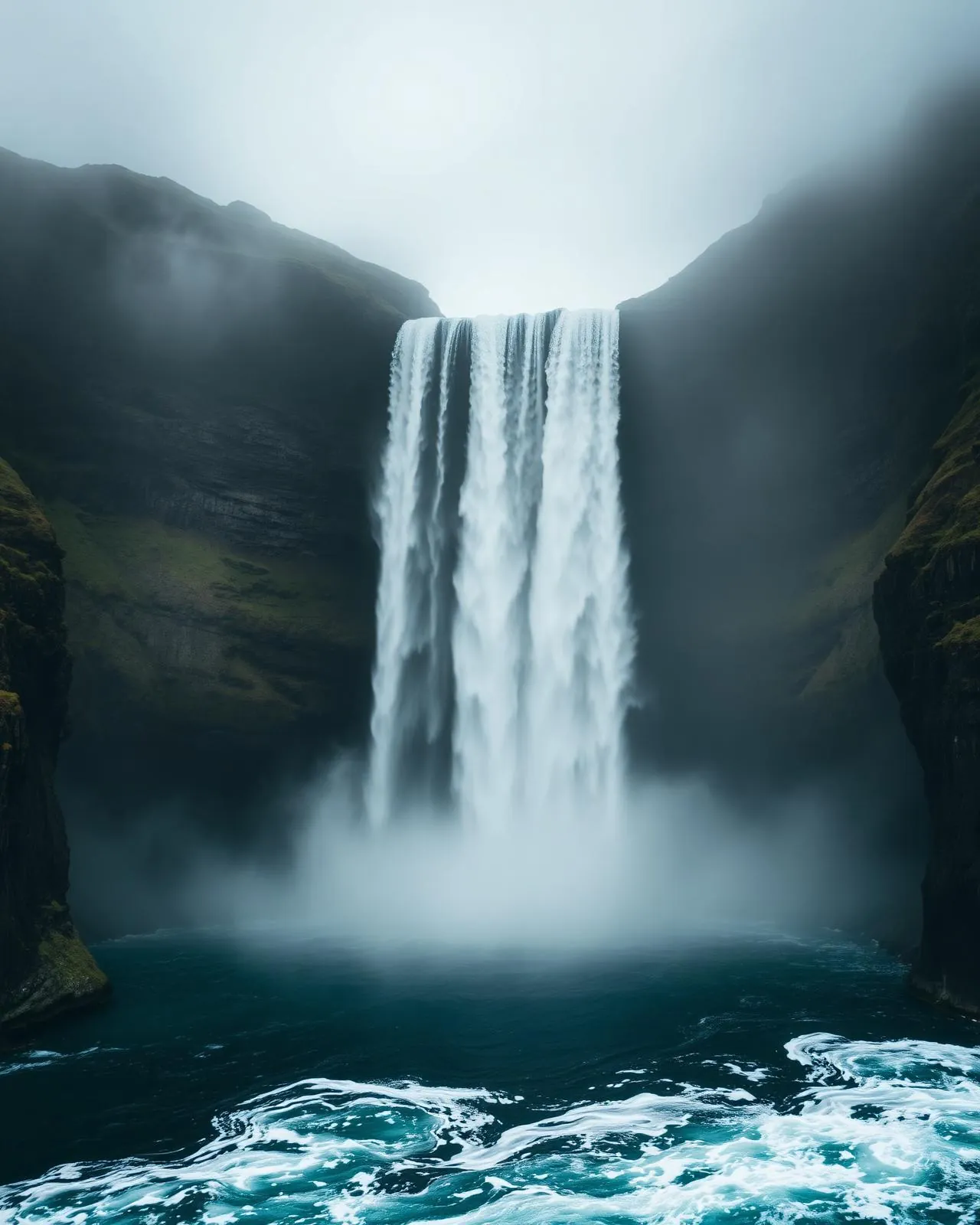
Walk it westward, as the mail did. The climb is honest, the top is a held breath — Tindhólmur and Mykines arranged below — and the descent delivers you into Gásadalur exactly as the village reveals its waterfall. No route in the islands ends better.