

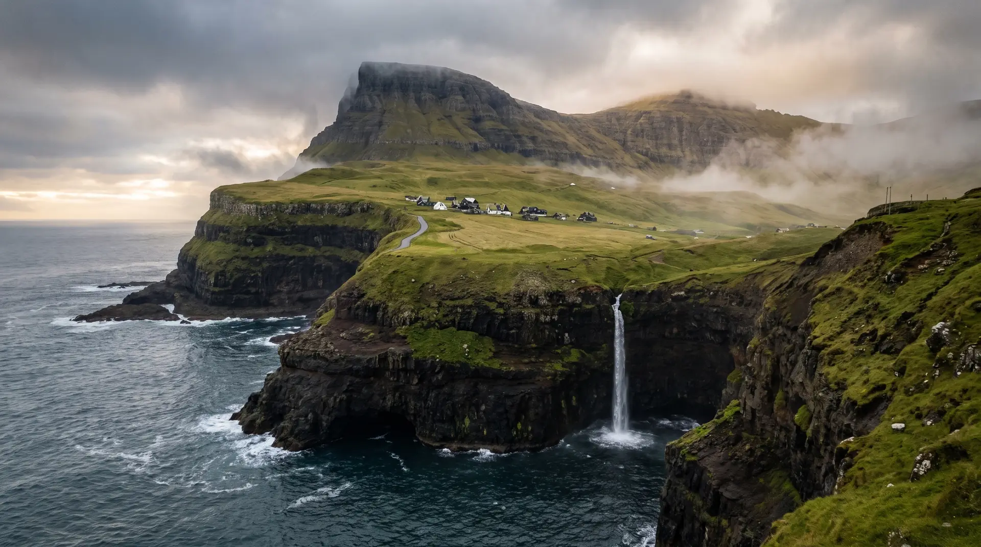
IWaterfall · village
Vágar
Gásadalur
Where Múlafossur pours off the edge of the world into the Atlantic. A village of fourteen residents, framed by sheer basalt walls.
Photography
96/100
Difficulty
Easy
A cinematic and intelligent guide to the Faroe Islands — built for photographers, hikers, and those who chase weather.
The Faroes shift hour by hour — fog rolls in, light breaks open, puffins return. Begin where the feeling takes you.
The atmospherics that shape every visit to the eighteen islands — drone windows, fog banks, sunset probability, swell. Plan around the sky, not against it.
A typical overcast day — clear spells open and close fast
An ordinary Atlantic afternoon · gusts climb above 300 m
Summer evenings often break open in the last hour
The odds a given day brings fog to Vágar's high ground
How long calm spells typically last between fronts
Long-period North Atlantic swell, most of the year
Where Múlafossur pours off the edge of the world into the Atlantic. A village of fourteen residents, framed by sheer basalt walls.
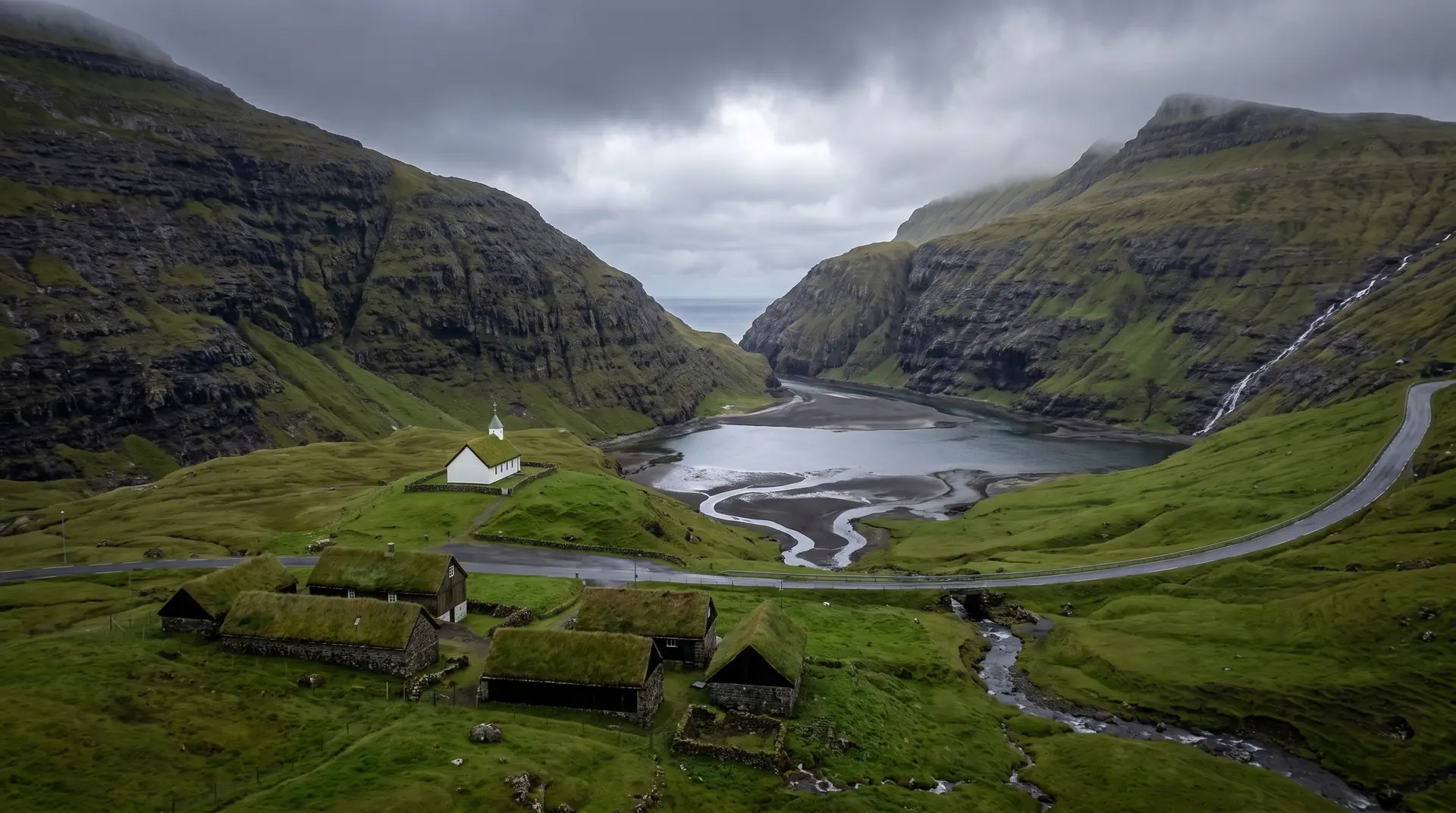
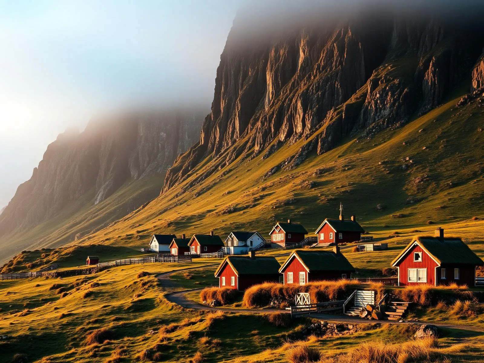
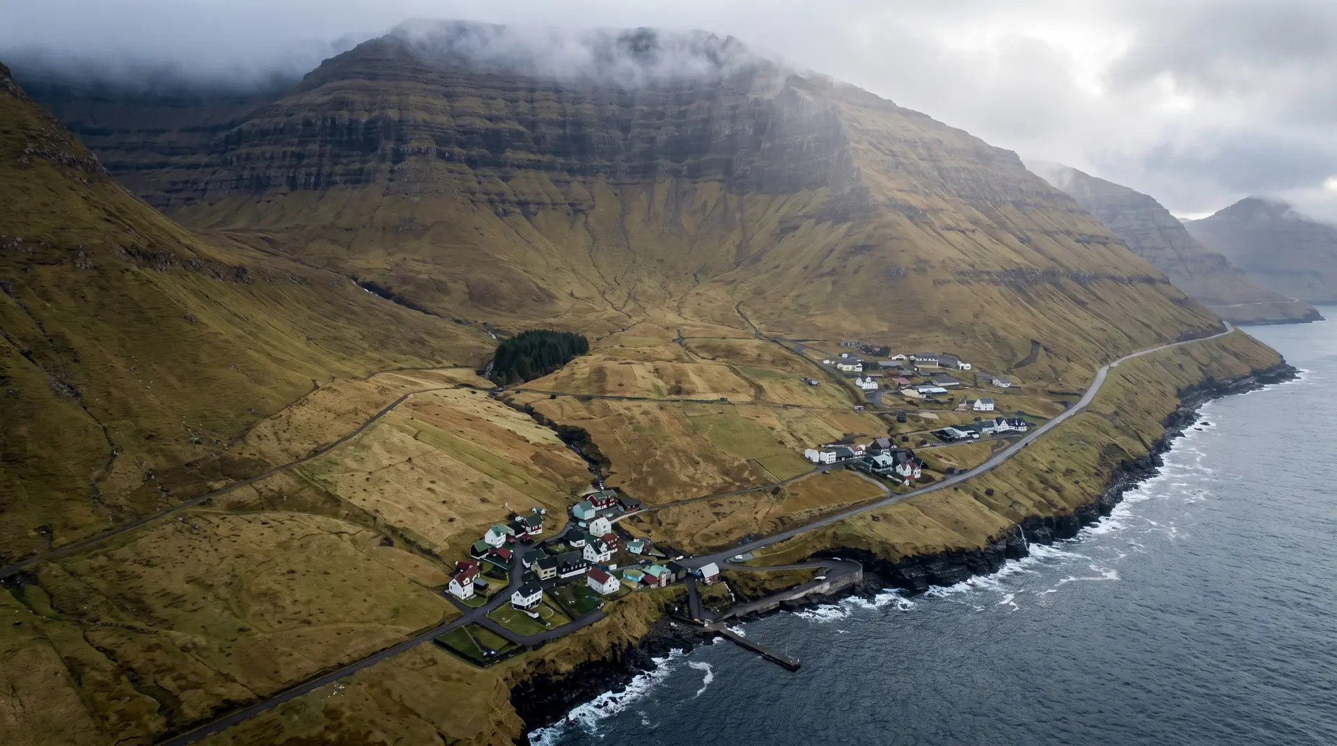
A turf-roofed hamlet at the head of a tidal lagoon, encircled by mountains that disappear into low cloud most mornings.
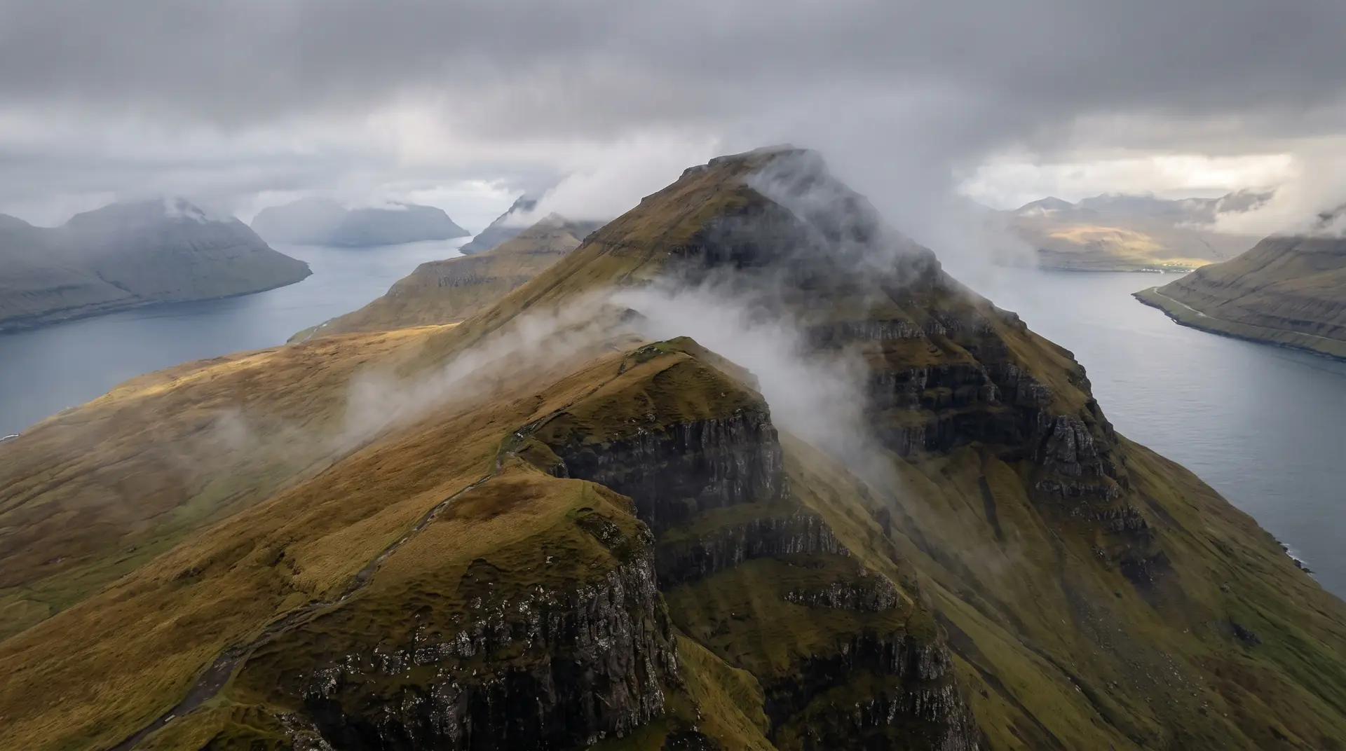
The cliff where lake Sørvágsvatn appears to hang above the ocean — the islands' signature optical illusion, one walk from the road.
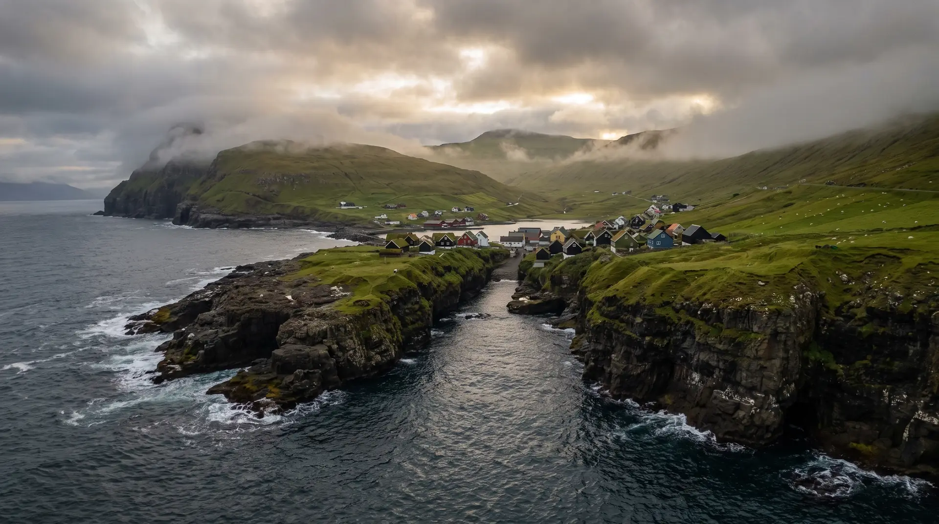
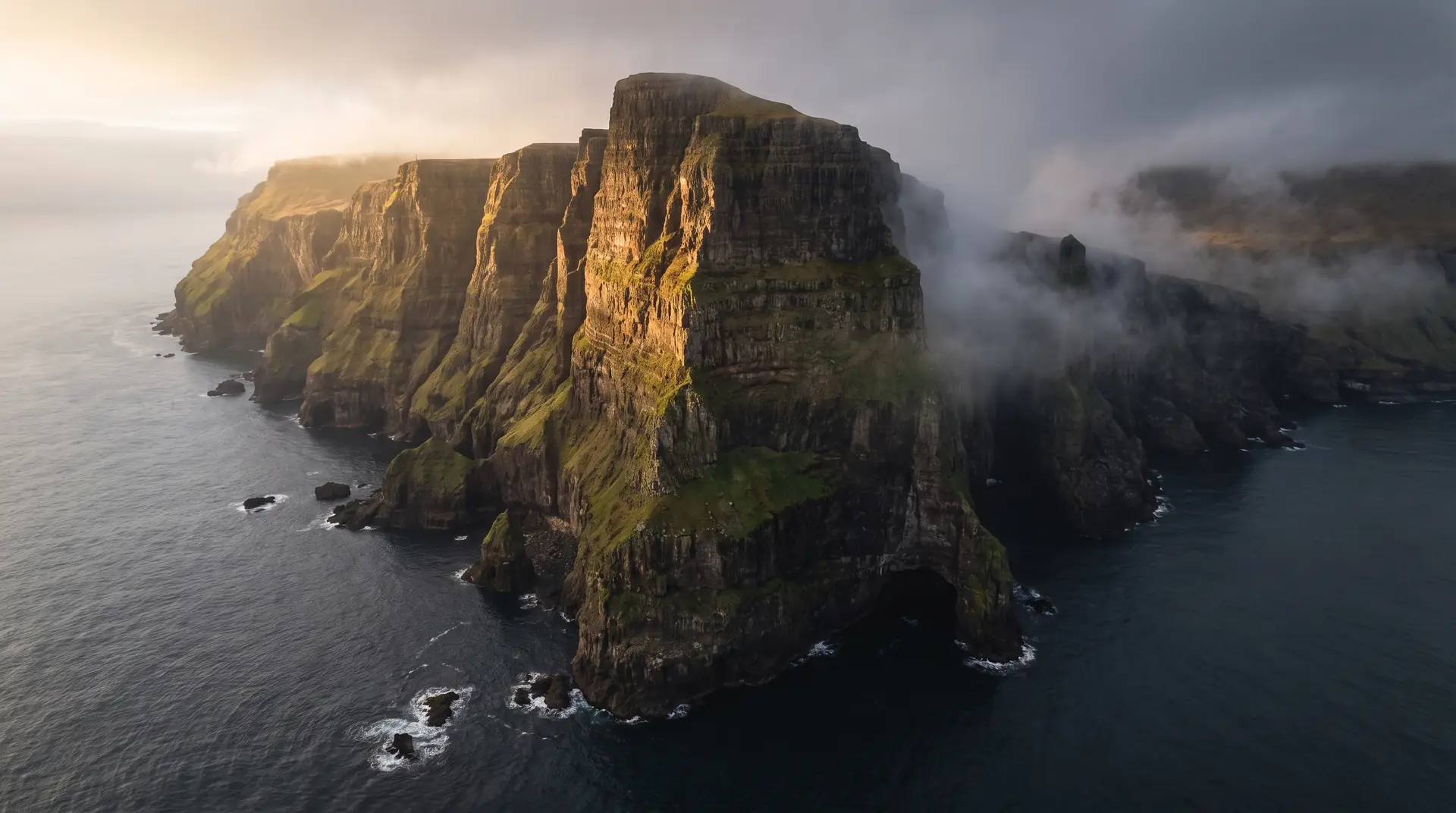
Named for the natural sea gorge cleaving the village from cliff to ocean. The light here, after rain, changes everything.
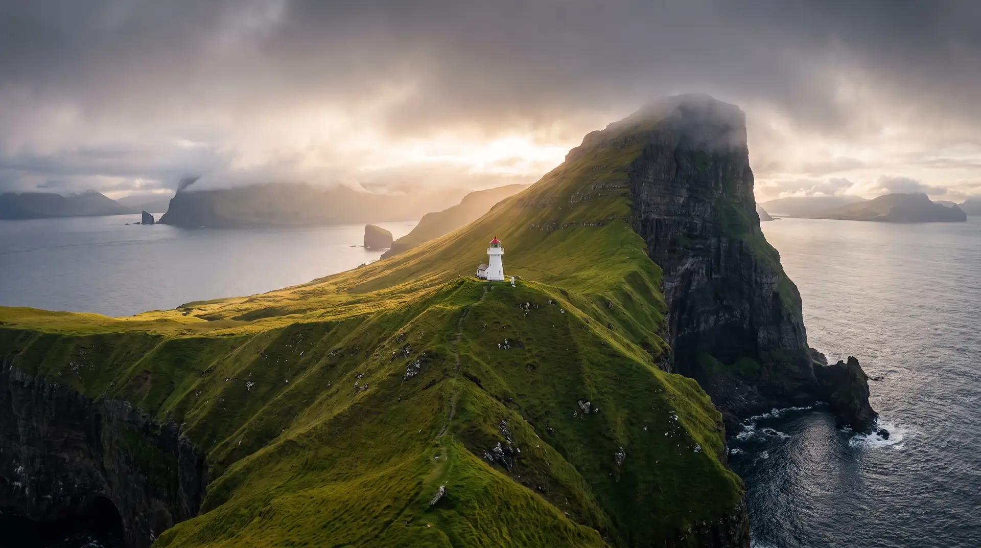
A single white tower on a green knife-ridge above the North Atlantic. The most photographed point in the islands — for reason.
A still from the atlas — all forty locations plotted on the dark cartographic surface, with live conditions and four viewing modes. Open it to move.
 Kallur LighthouseGásadalurSaksunGjógvMykinesTjørnuvíkTrælanípaDrangarnirBøurThe Postman’s PathTórshavnKirkjubøurNólsoyVestmanna Bird CliffsFossáSlættaratindurFunningurHvíthamarViðareiðiKlakkurKlaksvíkMikladalurKunoyFugloySvínoyEiðiElduvíkOyndarfjørðurGøtaKvívíkSandurSøltuvíkSkopunTindhólmur
Track weather, discover hidden places, and explore the Faroe Islands through atmosphere, light, and movement.