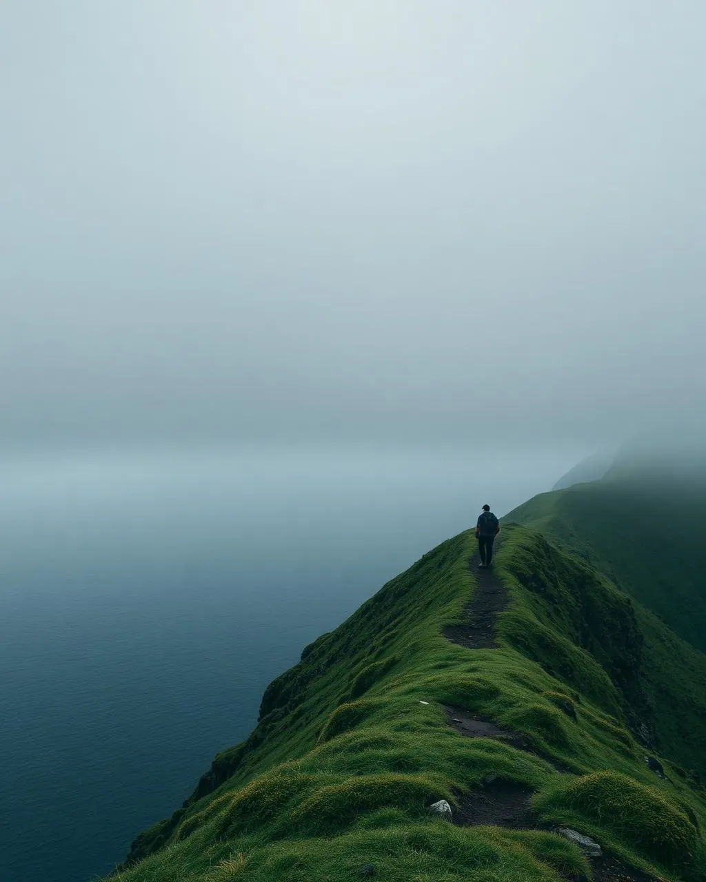
Trælanípa.
The cliff where a lake appears to hang above the Atlantic.
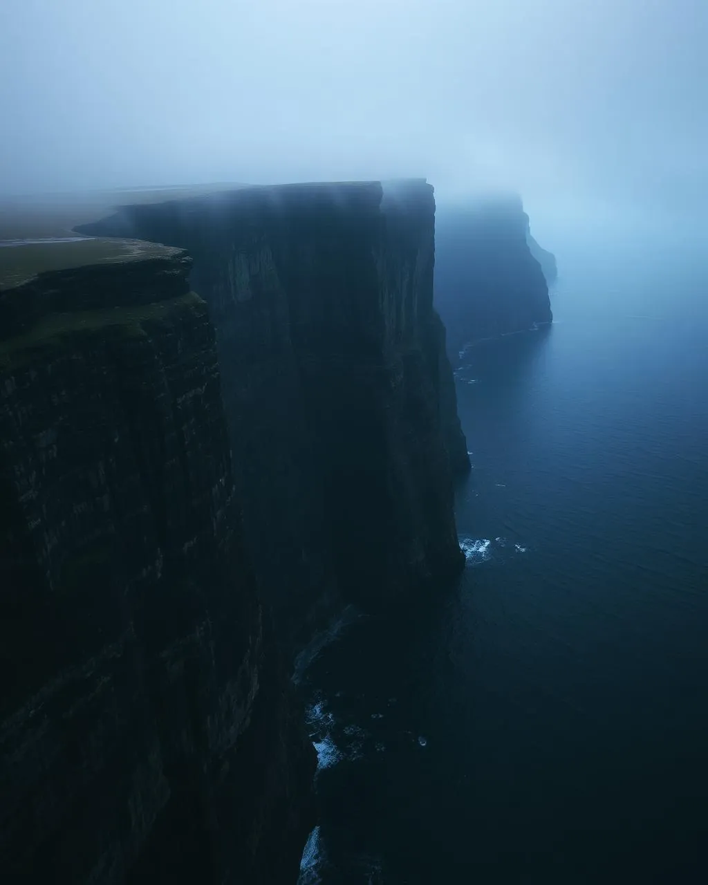
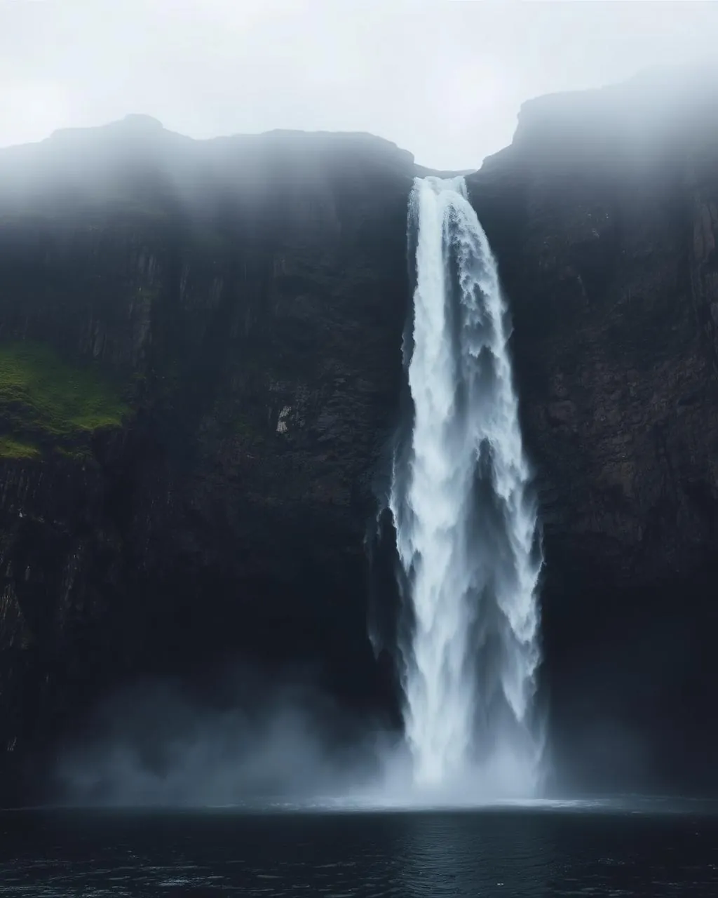
From the 142-metre cliff of Trælanípa, lake Sørvágsvatn seems to float high over the sea — the Faroes' most famous optical illusion, with the Bøsdalafossur waterfall spilling out beside it.
- 01The illusion assembles itself in the last hundred metres
- 02Slaves were said to be pushed from this cliff — the name remembers
- 03The biggest lake in the islands, balanced over the sea
- 04Check-in at the landowners’ reception starts the walk
The place, as it lets itself be seen.
How the weather
behaves here.
Read the air before you arrive. Fronts pass fast in the Faroes — fog, wind, and light can rewrite this place within an hour.
How to arrive,
how to stay.
- Access
- Trail from the reception between Miðvágur and Vatnsoyrar
- Parking
- At the trailhead reception
- Fees
- 450 DKK hiking fee (2025) · pay and check in at reception
- Difficulty
- Moderate
- Duration
- 2.5–4 hours return
- Best season
- May–September
- Crowd level
- Busy
- Drone
- Restricted
- Safety
- Unfenced cliff edges · wet rock near Bøsdalafossur
A field guide
for the light.
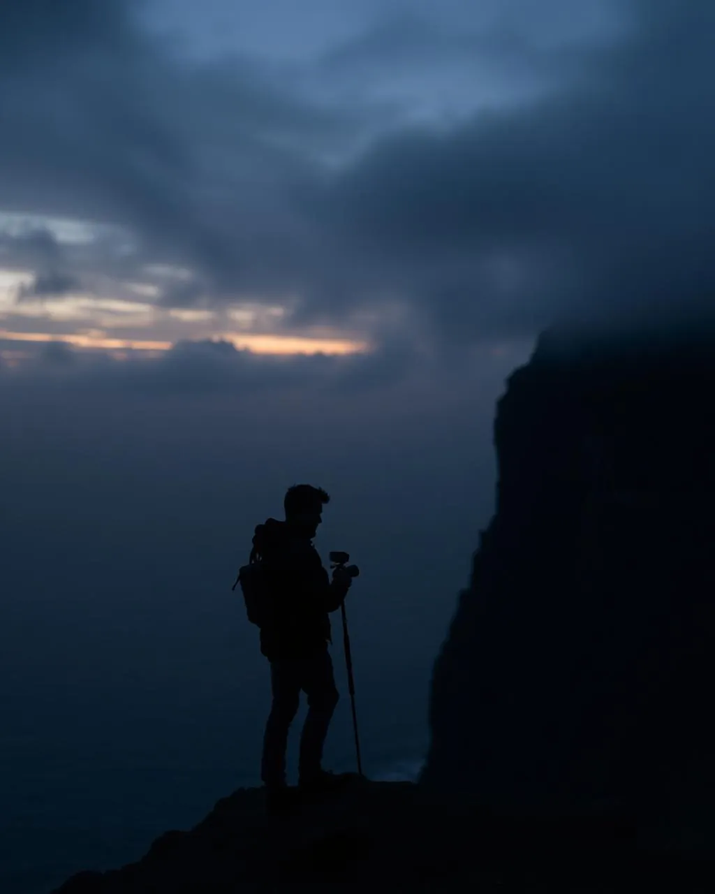
Clear evening — the illusion needs a visible horizon. Climb the rise south of the cliff; the higher you stand, the higher the lake floats.
- 16–35mm wide
- 24–70mm standard
- Polariser for the lake
Aerial frames flatten the illusion — this one belongs to ground level.
June–August for horizon light
62.02° N · 7.23° W
Surrounding villages, hikes, and weather overlays — open the full atlas to explore in motion.
Within an
afternoon's drift.
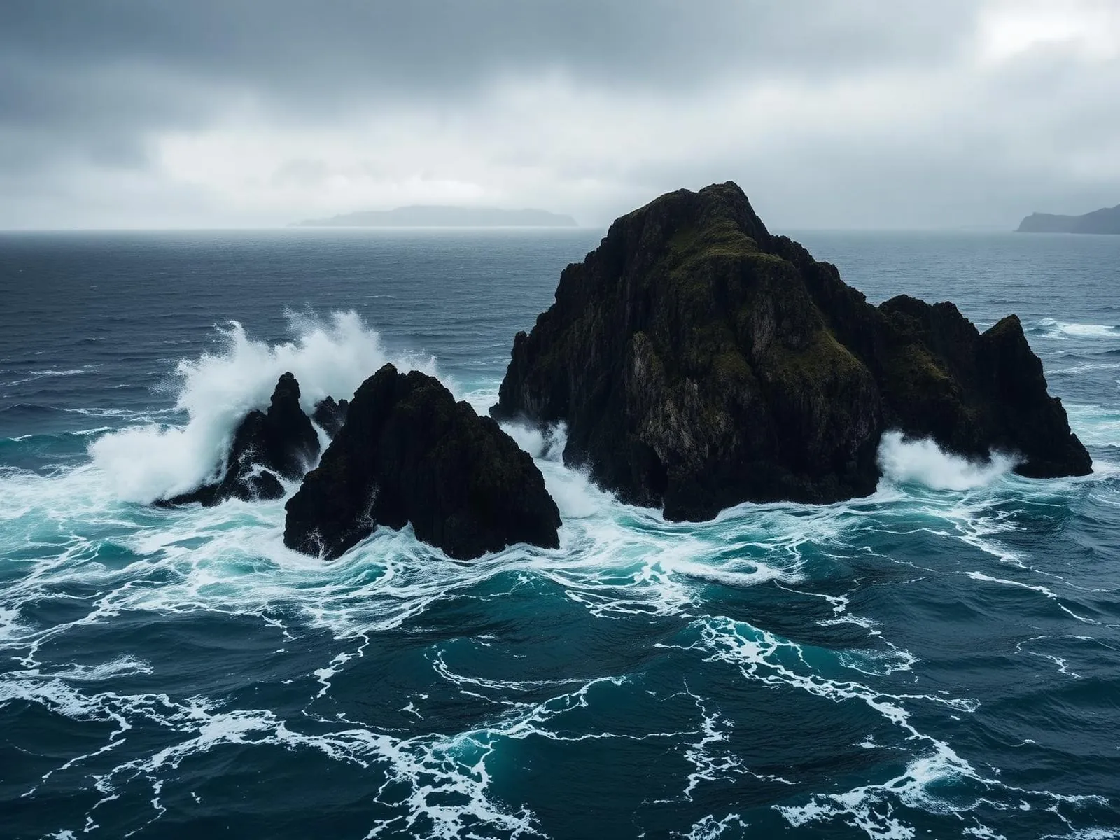
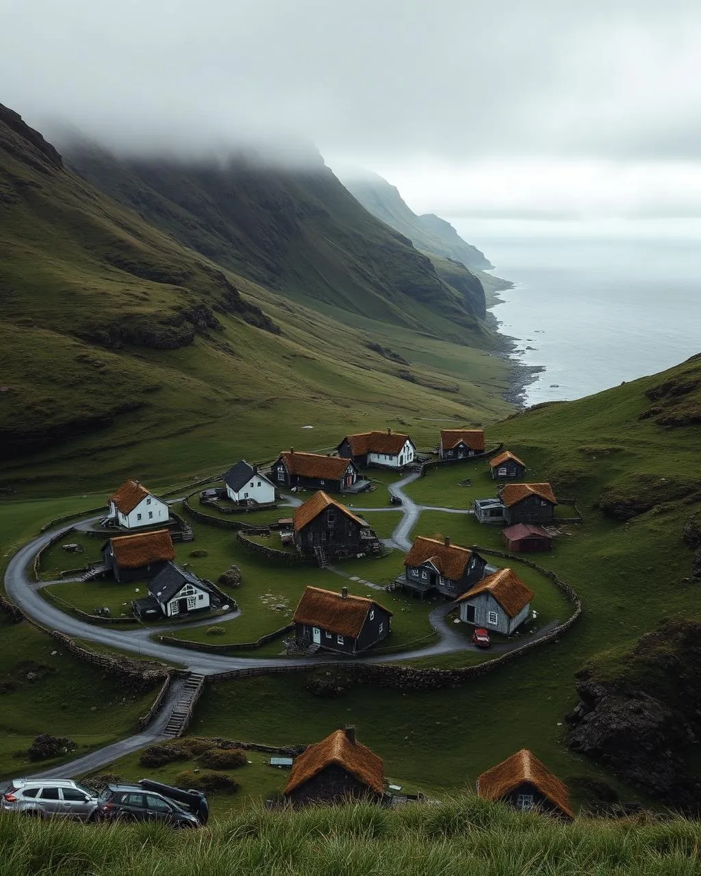
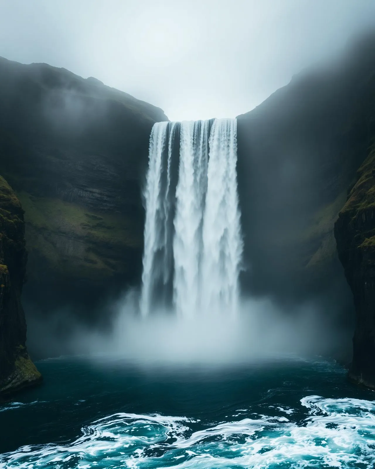
The lake that ignores the sea.
“Thirty metres of rock hold a lake over the Atlantic, and the eye refuses to believe any of it.”
Sørvágsvatn sits barely thirty metres above sea level. From Trælanípa, foreshortening stacks the water high over the ocean like a shelf in the sky — a trick of perspective so reliable it has become the islands’ signature photograph.
The name is darker than the view. Trælanípa — the slave cliff — is where, the story goes, Vikings disposed of workers who could no longer work. The Faroes keep their history in place-names; the beauty and the brutality share coordinates.
Walk the extra ten minutes to Bøsdalafossur, where the lake finally concedes to gravity and pours into the sea. In a westerly, the waterfall loses the argument and blows backwards over the moor.