faroe.guide
62°N · North Atlantic·Eighteen islands
Atlas · Hikes
Hikes that earn the weather.
Short, exposed, and rarely about the summit. The Faroese walk is a slow exchange with wind, fog, and ocean light.
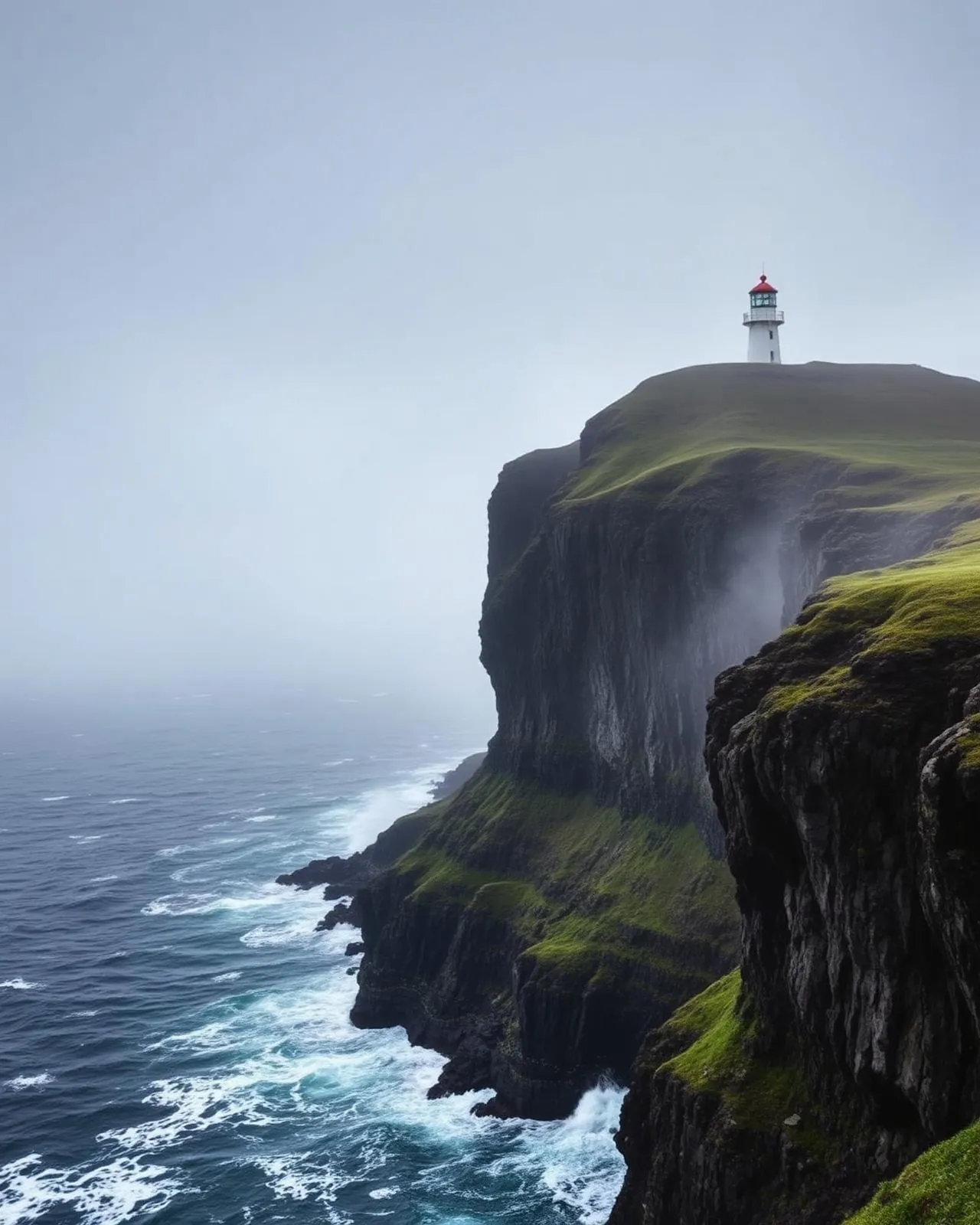
Kalsoy · Cliffside viewpoint
Kallur Lighthouse
A lonely cliffside lighthouse suspended above the North Atlantic.
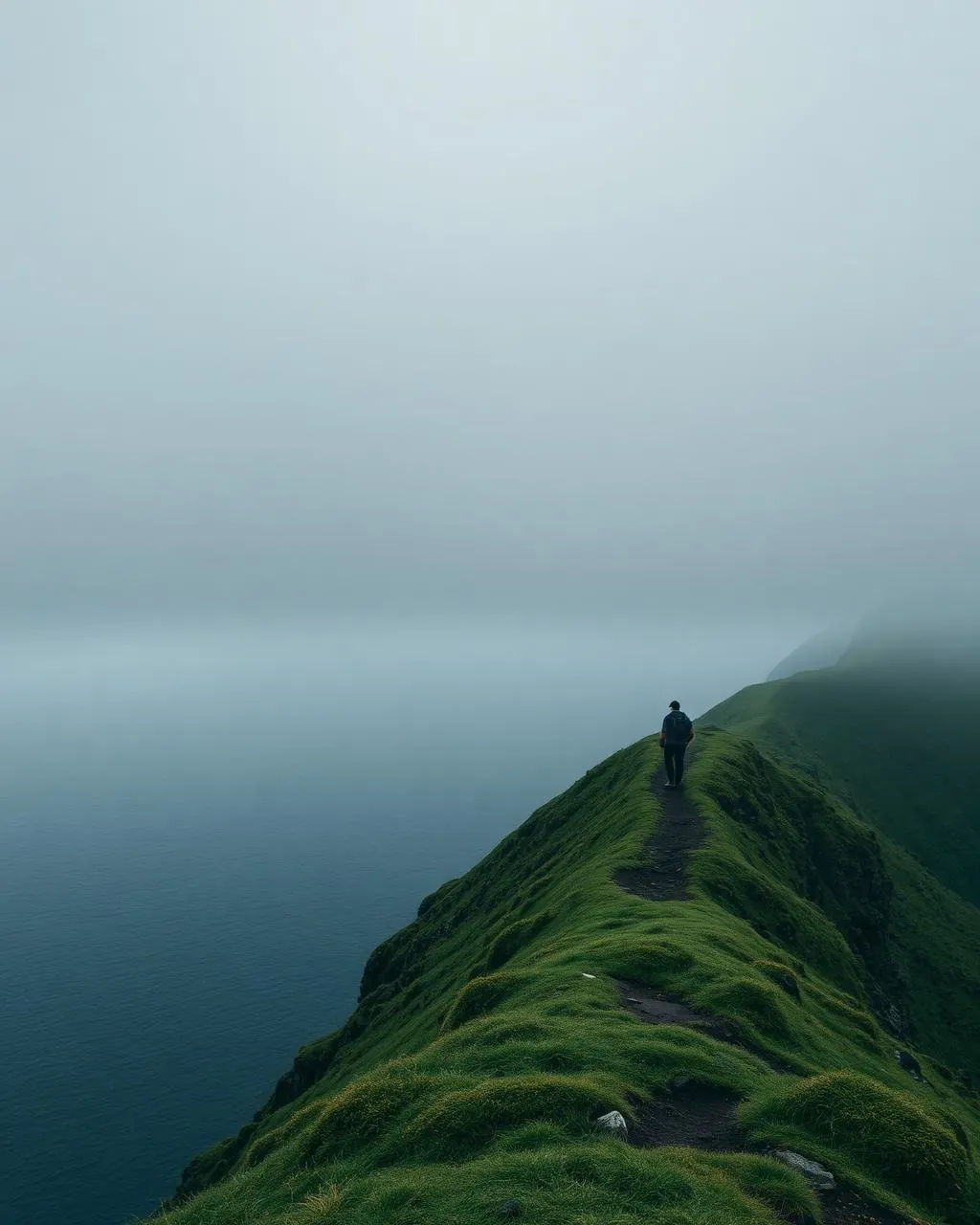
Vágar · Lake above the ocean
Trælanípa
The cliff where a lake appears to hang above the Atlantic.
Vágar · Historic mail route
The Postman’s Path
The mountain route the mail walked three times a week.
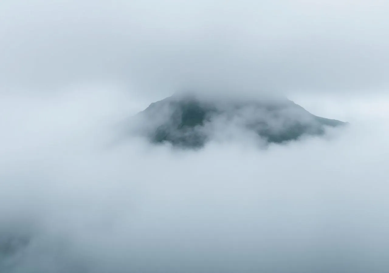
Eysturoy · Highest summit
Slættaratindur
The islands’ roof — 880 metres, and on a clear day, all of them at once.
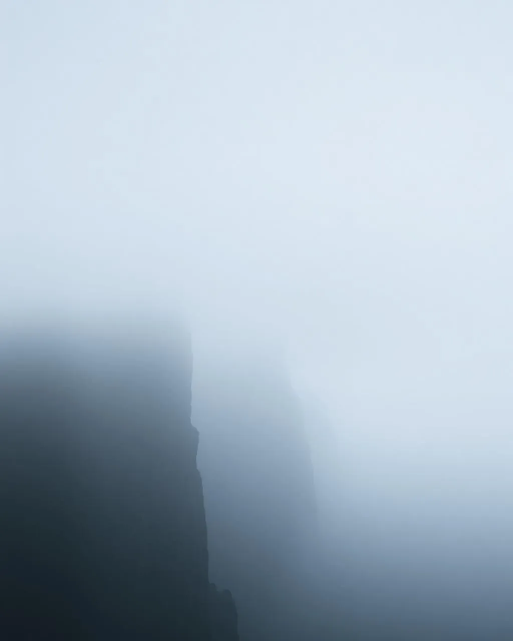
Eysturoy · Fjord viewpoint
Hvíthamar
Ten minutes’ walk to the islands’ most vertiginous fjord view.
Viðoy · Village & summit hike
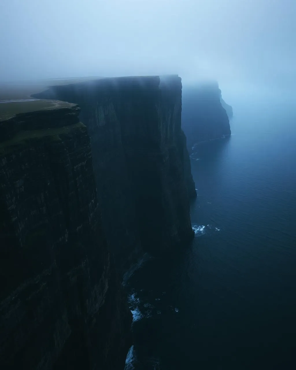
Viðareiði
The northernmost village, beneath one of Europe’s highest sea cliffs.
Borðoy · Summit viewpoint
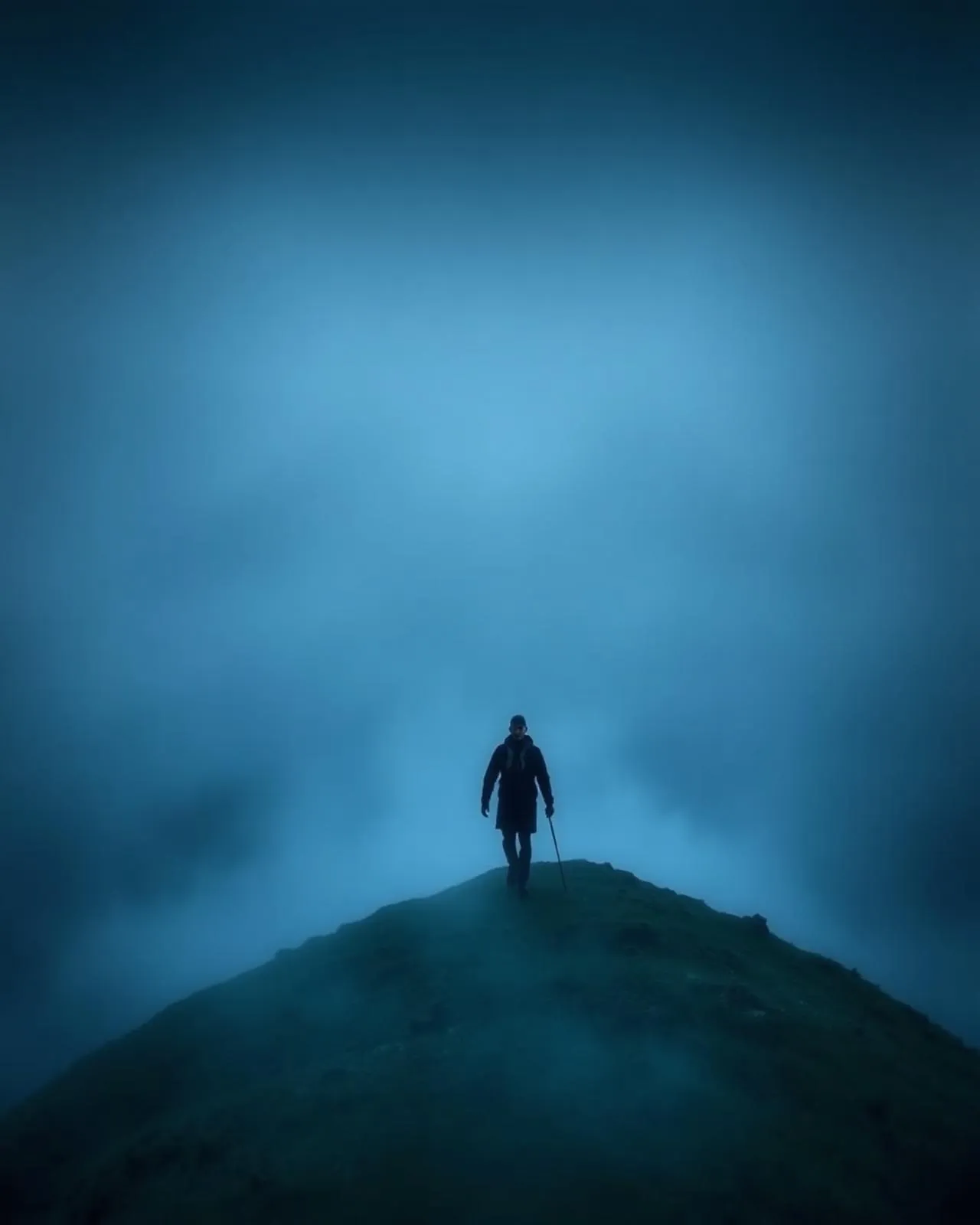
Klakkur
The northern islands laid out like a fleet at anchor.
Suðuroy · Sea cliff
Beinisvørð
The southern island’s 470-metre exclamation mark.
Suðuroy · Hidden basin
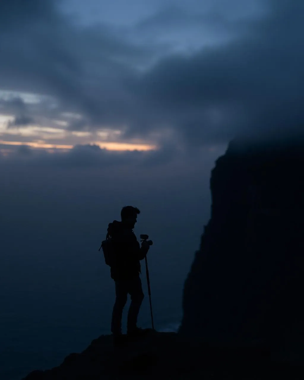
Hvannhagi
A landslide-built amphitheatre facing the two Dímuns.