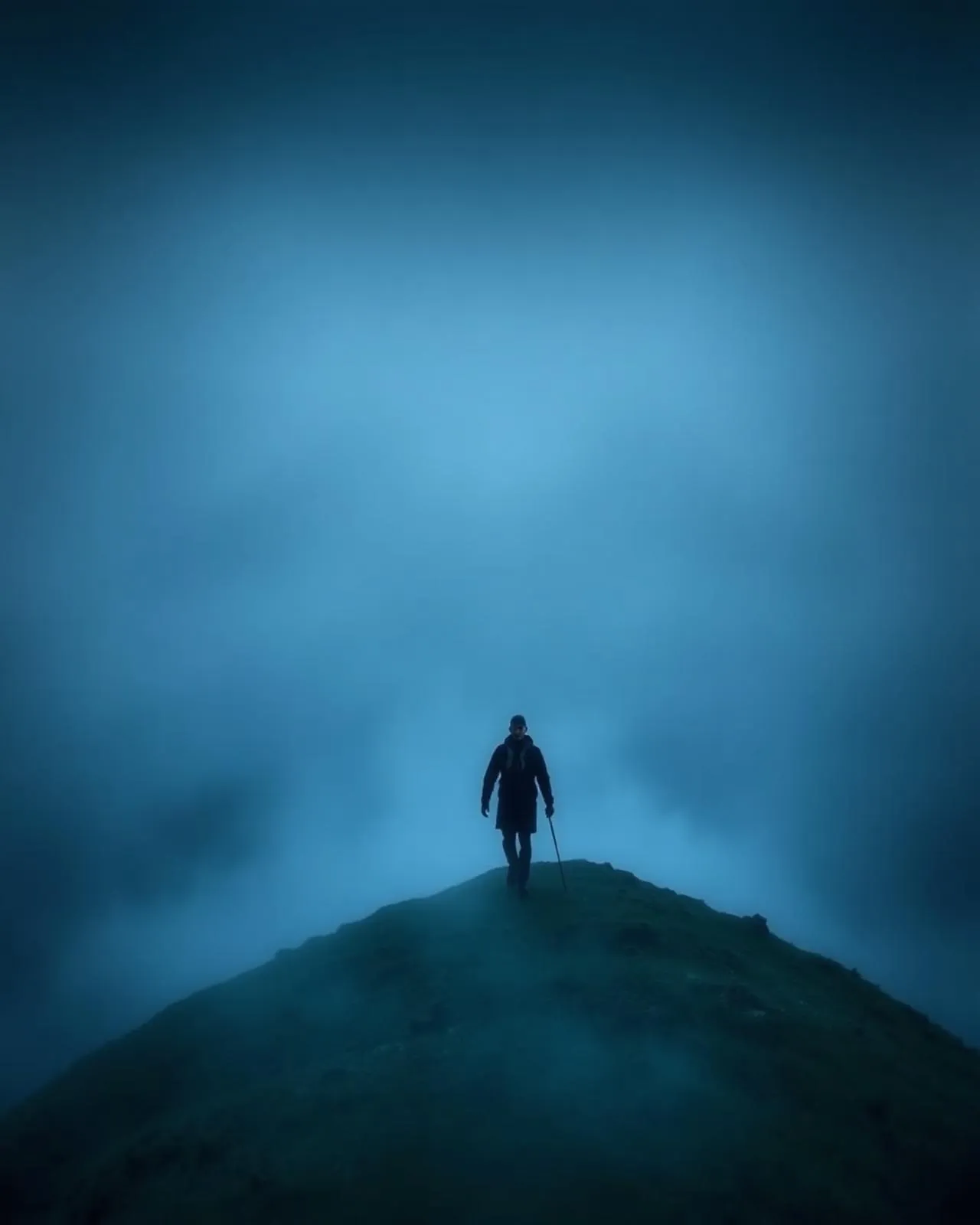
Klakkur.
The northern islands laid out like a fleet at anchor.
Klakkur’s 413-metre cone rises directly above Klaksvík. An hour’s walk from the saddle earns the definitive view of the northern fjords — Kalsoy, Kunoy and Borðoy running north in parallel.
- 01The town’s evening lights come on below you
- 02Fjords on three sides — the wind picks its own
- 03An honest hour · no scrambling
- 04Locals run it after work — you may be overtaken
The place, as it lets itself be seen.
How the weather
behaves here.
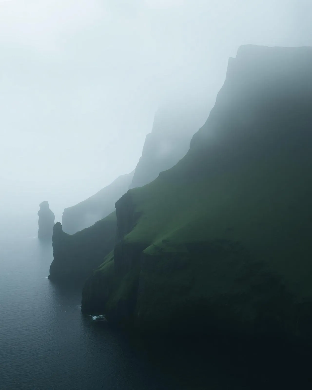
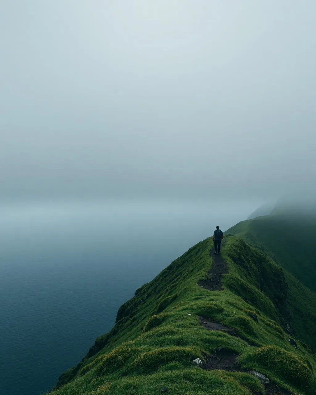
Read the air before you arrive. Fronts pass fast in the Faroes — fog, wind, and light can rewrite this place within an hour.
How to arrive,
how to stay.
- Access
- Gravel road from Klaksvík to the Hálsur saddle · track to the top
- Parking
- At the saddle
- Difficulty
- Moderate
- Duration
- 1.5–2 hours return
- Best season
- May–October
- Crowd level
- Quiet
- Drone
- Permitted
- Safety
- Simple in clear weather · disorienting in cloud
A field guide
for the light.
Blue hour — town lights below, afterglow on the fjords. Let Kalsoy’s long spine lead out of frame north; Klaksvík’s harbour anchors the foreground.
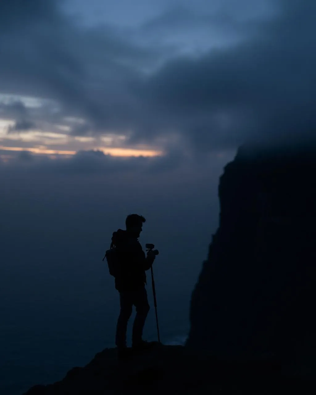
- 24–70mm standard
- 70–200mm island layers
Fine airspace above the saddle — stay clear of the town side.
September · first snow on the tops, town still green
62.24° N · 6.62° W
Surrounding villages, hikes, and weather overlays — open the full atlas to explore in motion.
Within an
afternoon's drift.
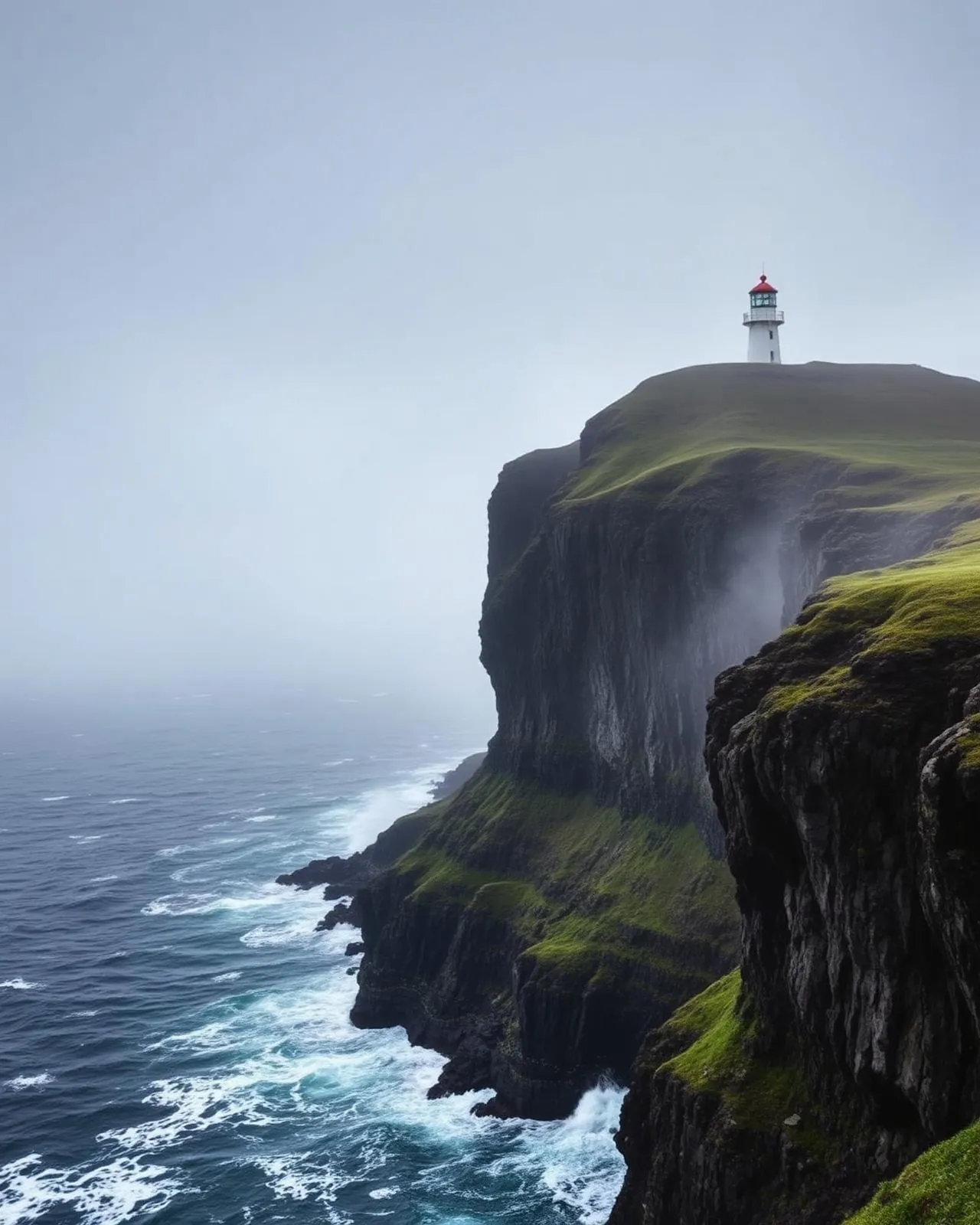
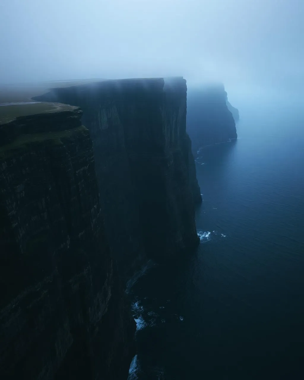
The view the north keeps for itself.
“From Klakkur the islands stop being a map and become a rhythm — ridge, water, ridge, water, north.”
Every archipelago has one summit that explains its geography. For the northern Faroes it is Klakkur: from the cone above Klaksvík you see the islands as the ice left them — long parallel blades of basalt, fjords between, running away north in strict formation.
It is also the most domestic of the great viewpoints. Klaksvík’s evening — school lights, harbour cranes, the ferry easing out for Kalsoy — happens directly below, close enough to hear. Big landscape, small town, one frame.