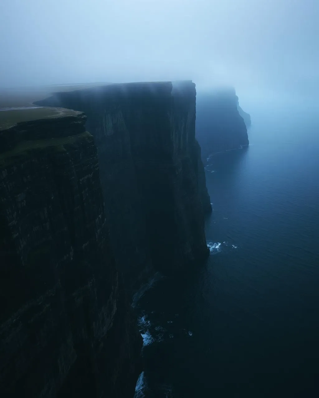
Viðareiði.
The northernmost village, beneath one of Europe’s highest sea cliffs.
Viðareiði sits on a green isthmus at the top of the country. Above it rises Villingardalsfjall — 841 metres, a 200 DKK mailbox fee, and the route toward Enniberg’s 754-metre plunge.
- 01Open sea on both sides of the village
- 02The fee goes in the mailbox at the gate — 200 DKK, on trust
- 03Enniberg is guided-territory beyond the summit
- 04The northern light here has no land left to soften it
The place, as it lets itself be seen.
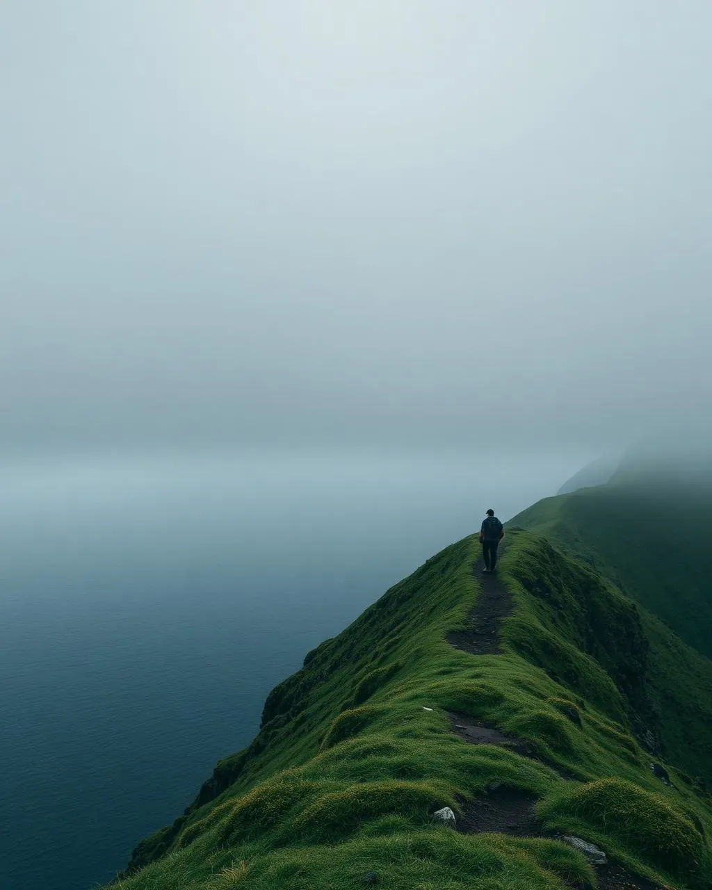
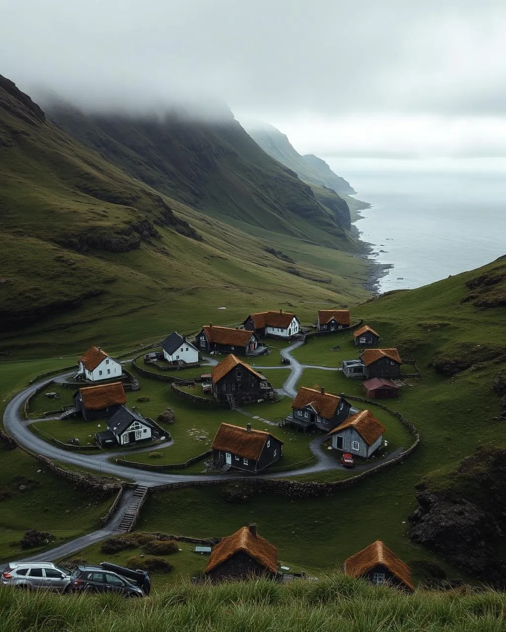
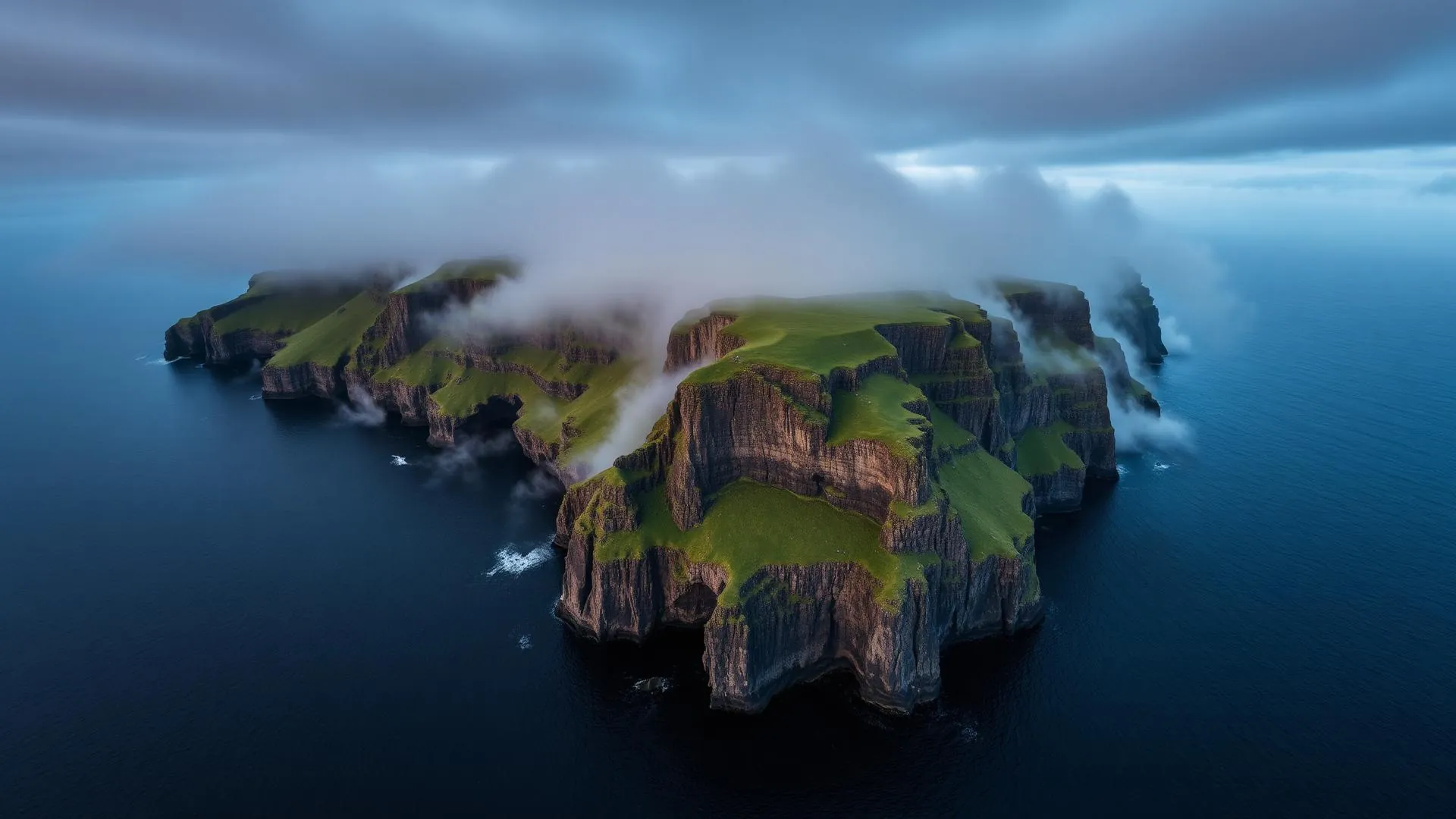
How the weather
behaves here.
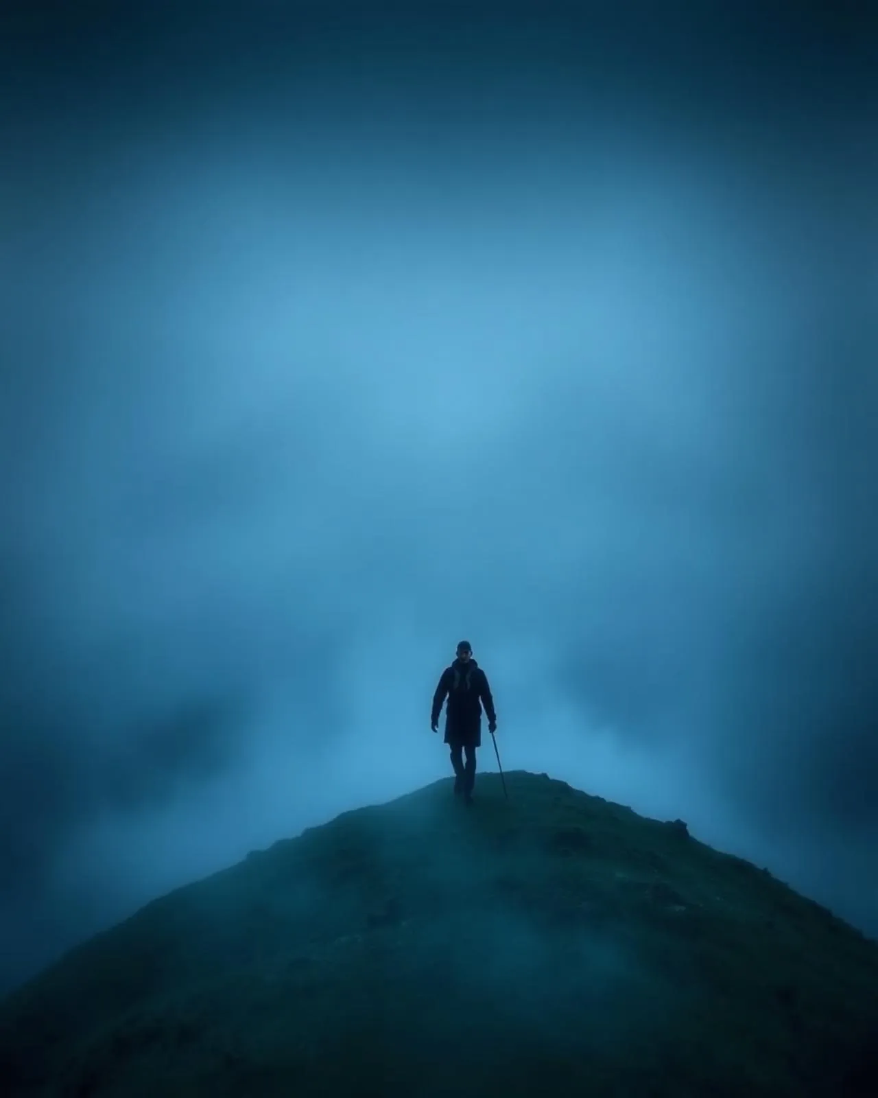
Read the air before you arrive. Fronts pass fast in the Faroes — fog, wind, and light can rewrite this place within an hour.
How to arrive,
how to stay.
- Access
- Road from Hvannasund causeway · trail gate above the village
- Parking
- In the village · walk to the gate
- Fees
- 200 DKK per hiker · cash to the mailbox at the gate
- Difficulty
- Hard
- Duration
- 3–4 hours · ~6 km · 841 m top
- Best season
- June–September · settled weather only
- Crowd level
- Quiet
- Drone
- Restricted
- Safety
- Stone fields, no shelter, cliff finish · guide required beyond toward Enniberg
A field guide
for the light.
Crystalline northern evenings after a cold front. From the shoulder, stack Fugloy and Svínoy in the east sea — the last islands before Norway.
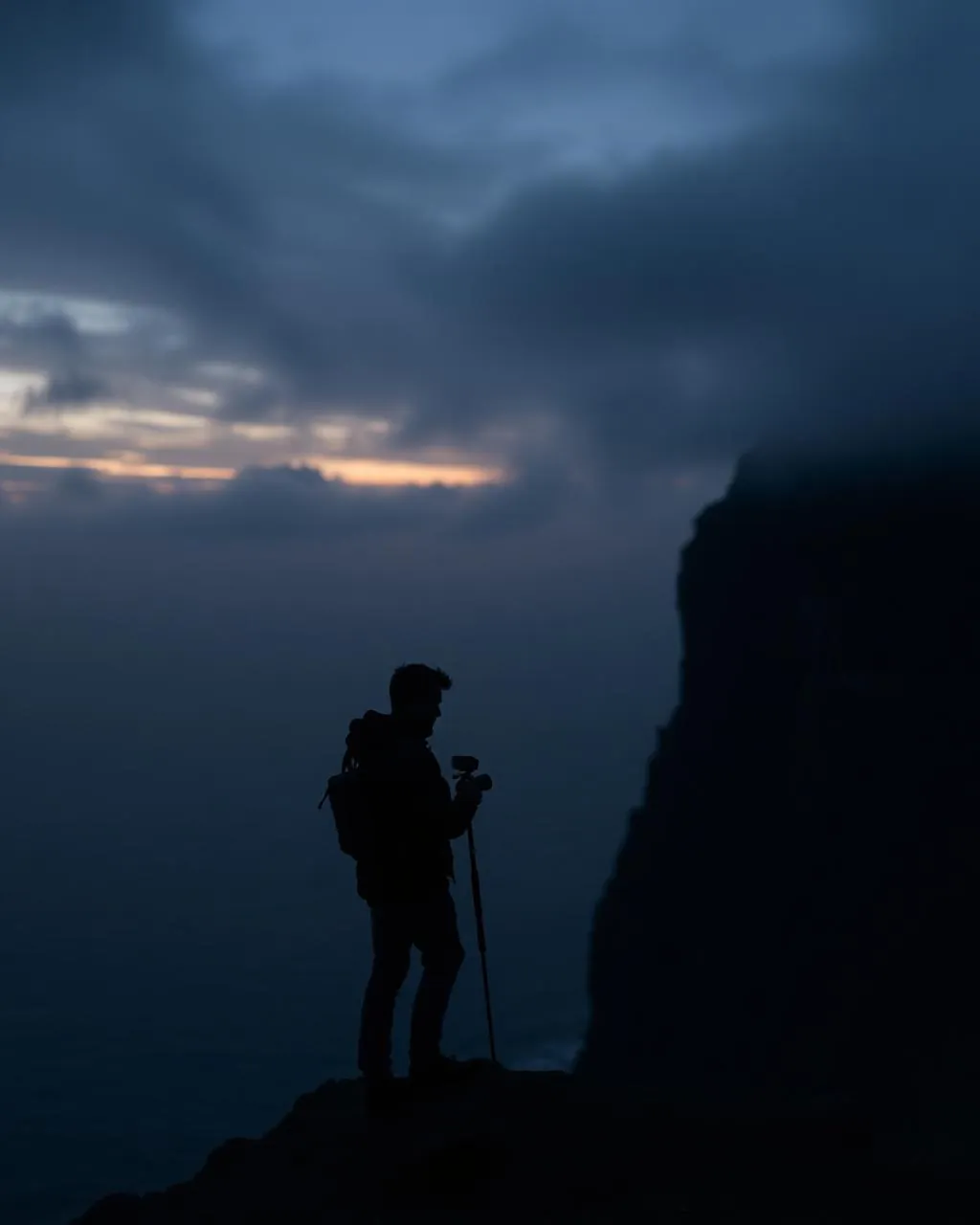
- 16–35mm summit
- 70–200mm toward the northern islands
Village and bird cliffs restrict most of it — and the cape wind is serious.
June · the north gets the longest light of all
62.36° N · 6.54° W
Surrounding villages, hikes, and weather overlays — open the full atlas to explore in motion.
Within an
afternoon's drift.
The top of the country.
“North of here there is one mountain, one cliff, and then nothing until the ice.”
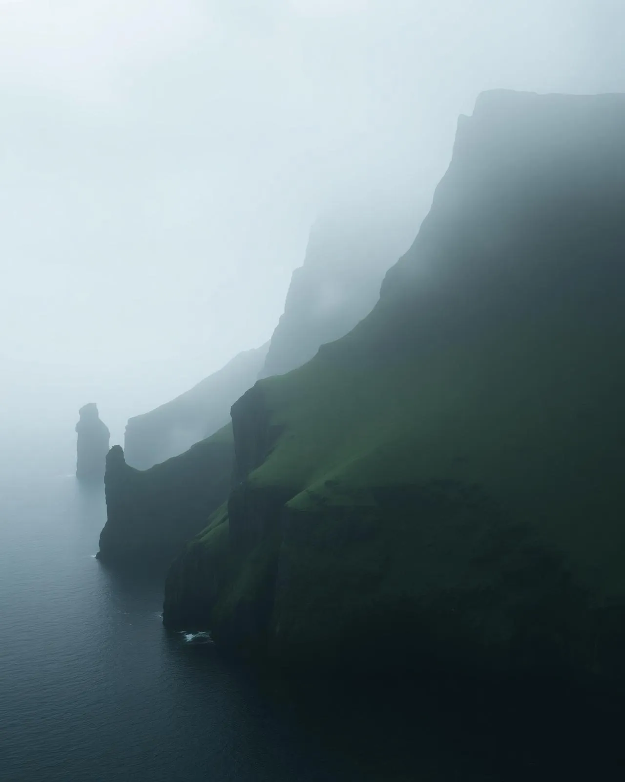
Viðareiði is where the Faroes run out. The village sits on a low green saddle with surf on both sides, its white church facing the sea lanes that once brought everything. Above, Villingardalsfjall climbs in tiers of stone to 841 metres — the highest point of the northern islands.
Beyond the summit the ground does something singular: it stops. Enniberg falls 754 metres directly into the Atlantic, among the highest sea cliffs in Europe, and the final approach is guided-only for the sound reason that the turf runs green right to the lip.
Pay the 200 kroner into the mailbox at the gate. There is no attendant, no ticket, no receipt — just the assumption, correct for a thousand years, that people this far north keep their word.