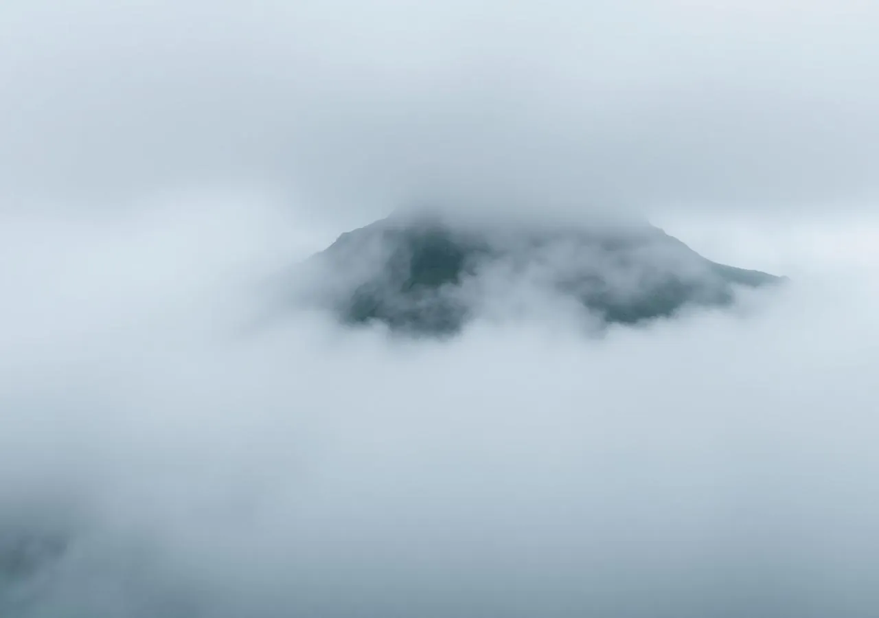
Slættaratindur.
The islands’ roof — 880 metres, and on a clear day, all of them at once.
The highest mountain in the Faroes rises between Eiði and Funningur. From the pass at Eiðisskarð the summit is two to two and a half hours up — and the reward, on a clear day, is the entire archipelago.
- 01Midsummer parties climb for the sun that barely sets
- 02The name means ‘flat peak’ — the top is a table
- 03Eighteen islands visible on the clearest days
- 04Cloud can erase the route in minutes
The place, as it lets itself be seen.
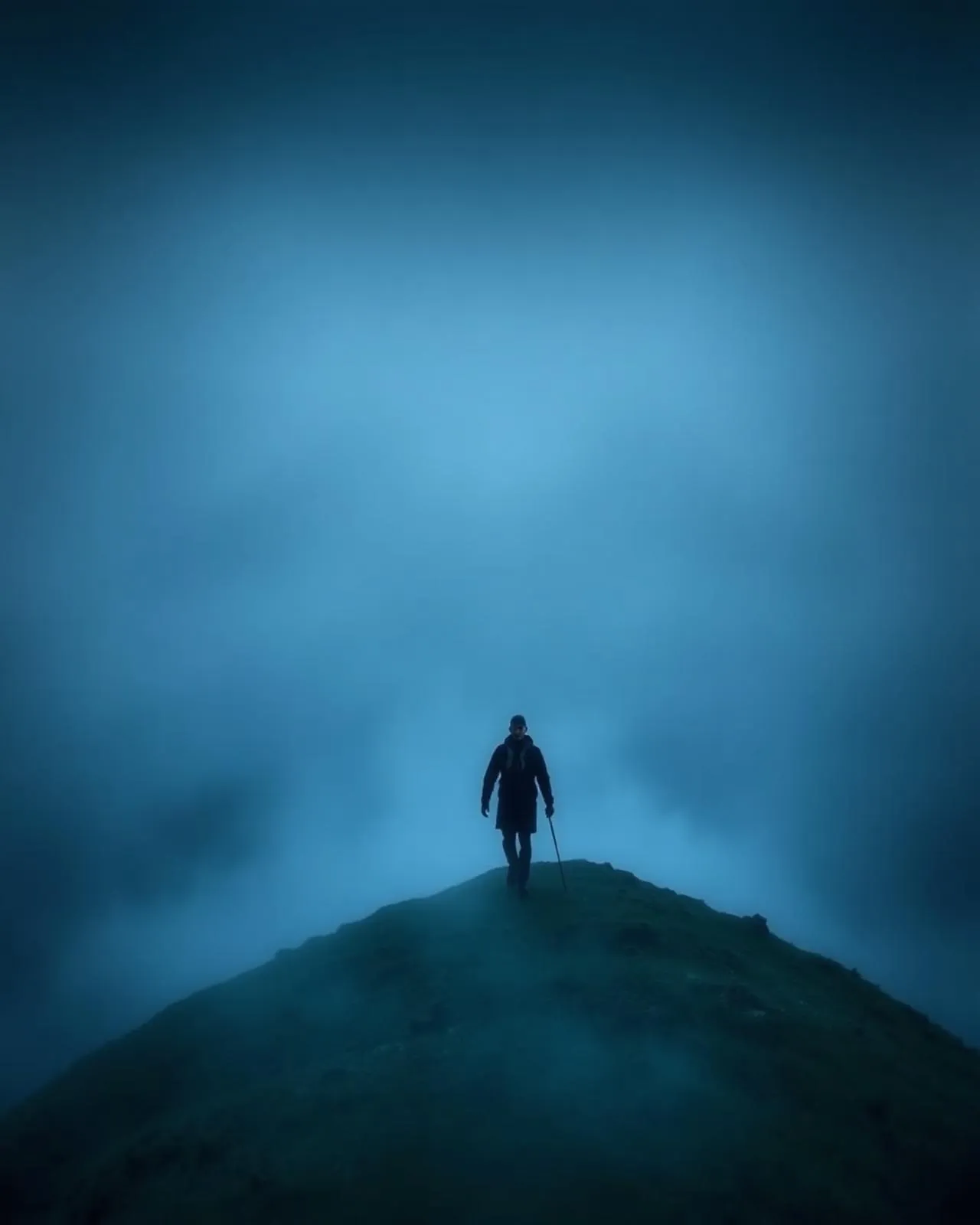
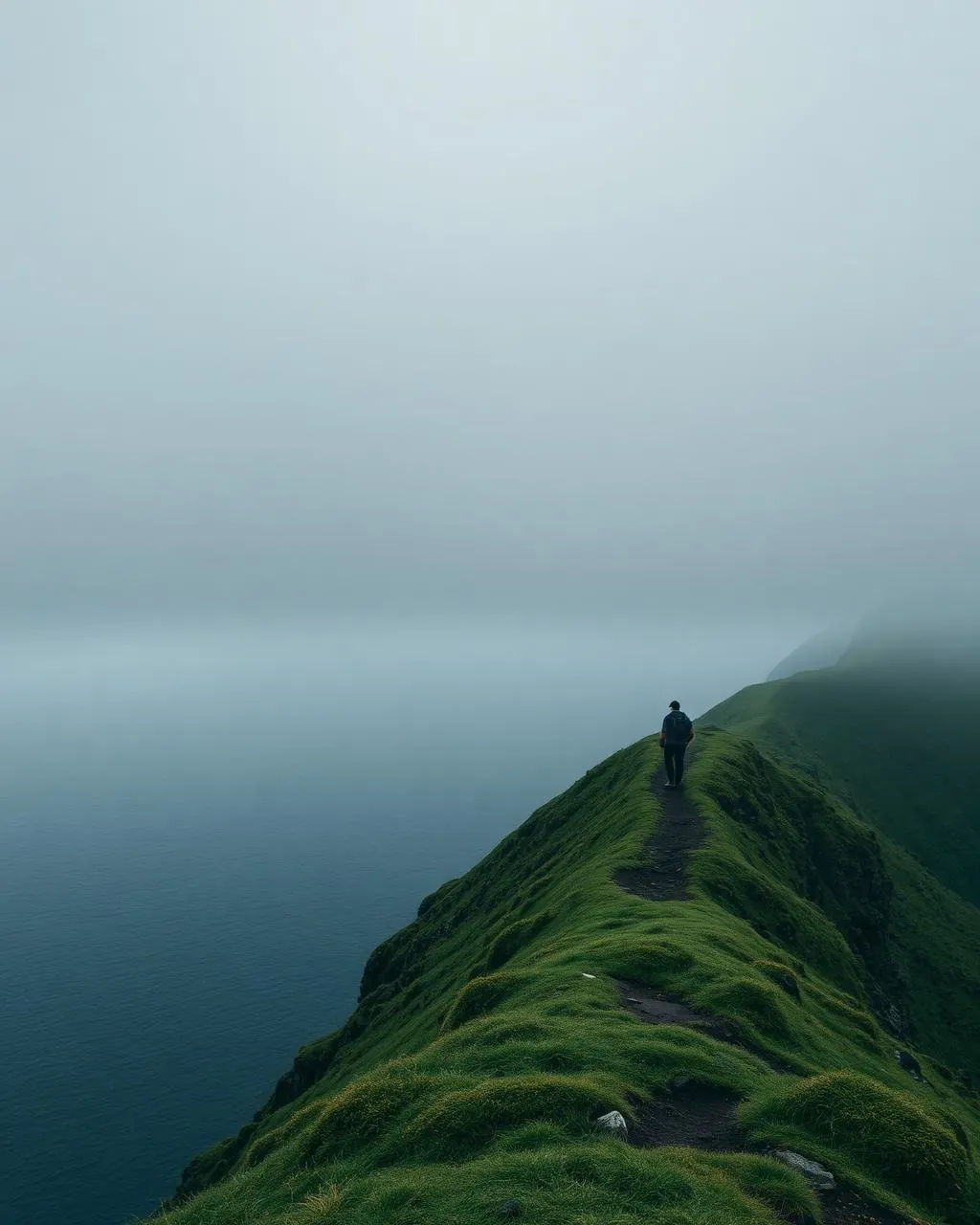
How the weather
behaves here.
Read the air before you arrive. Fronts pass fast in the Faroes — fog, wind, and light can rewrite this place within an hour.
How to arrive,
how to stay.
- Access
- Start at Eiðisskarð pass on the Eiði–Funningur road
- Parking
- Small lot at the pass
- Difficulty
- Moderate
- Duration
- 2–2.5 hours return
- Best season
- June–September · clear windows only
- Crowd level
- Moderate
- Drone
- Permitted
- Safety
- Full exposure above 600 m · do not summit in cloud or high wind
A field guide
for the light.
Above a cloud inversion — islands as stepping stones in white. Use the summit cairn as anchor and layer the northern islands with a long lens.
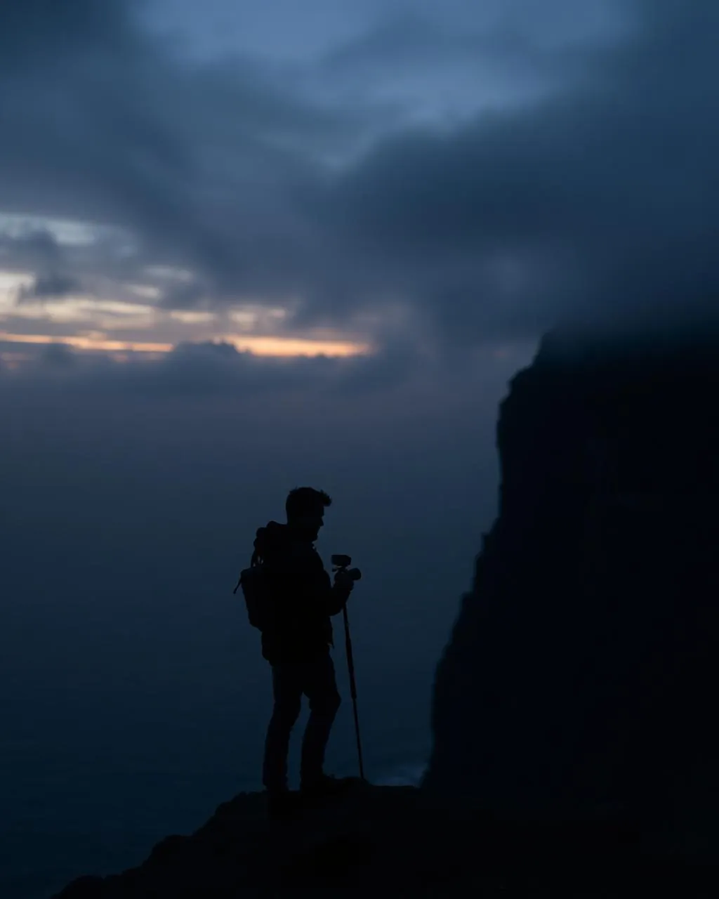
- 16–35mm summit panoramas
- 70–200mm island layers
Legal and spectacular — but the summit wind is double the pass wind.
Midsummer · the sun grazes the sea and comes back up
62.30° N · 7.01° W
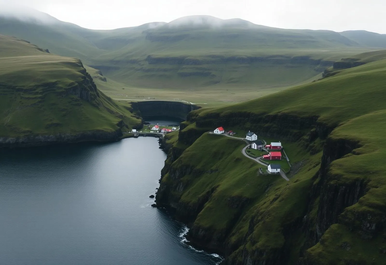
Surrounding villages, hikes, and weather overlays — open the full atlas to explore in motion.
Within an
afternoon's drift.
The table at the top.
“From here the Faroes stop being places and become one gesture of rock.”
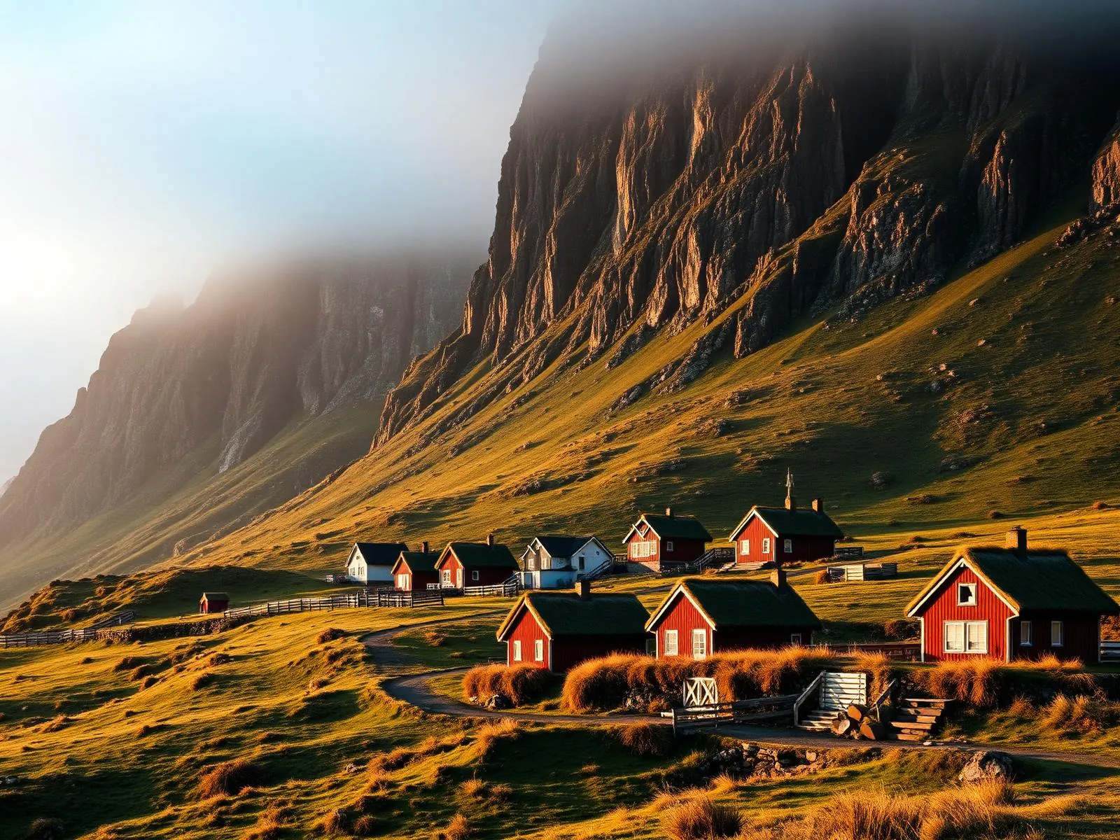
Slættaratindur is a generous highest mountain. No glacier, no scramble — a steady grass-then-stone staircase from an already-high pass, climbable between lunch and dinner. The islands keep their drama vertical and their summits egalitarian.
The tradition is to climb it for midsummer, when the sun dips toward the horizon around midnight and — in the right year, from the right angle — barely seems to leave. Even in cloud the mountain teaches you the islands’ first rule: the weather is not an obstacle to the experience. It is the experience.