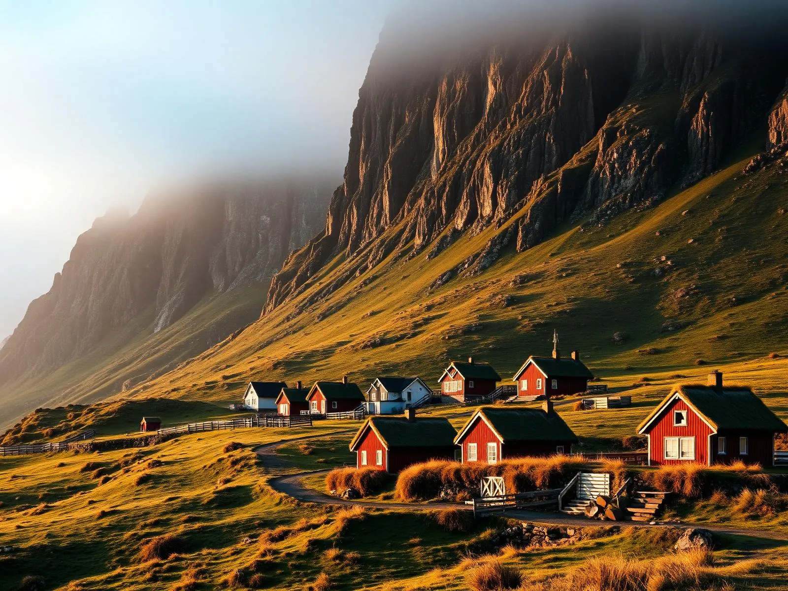
Funningur.
Where Faroese history is said to have stepped ashore.
Tradition names Funningur as the islands’ first settlement — Grímur Kamban’s landing around 825. Forty-six people live here now, beneath the highest mountains in the Faroes.
- 01Twelve hundred years of continuous habitation
- 02The fjord walls rise steeper than seems reasonable
- 03The turf-roofed church still smells of tarred timber
- 04The hairpin descent is the islands’ best arrival
The place, as it lets itself be seen.


How the weather
behaves here.
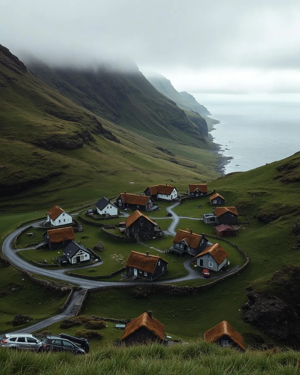
Read the air before you arrive. Fronts pass fast in the Faroes — fog, wind, and light can rewrite this place within an hour.
How to arrive,
how to stay.
- Access
- Road from Funningsfjørður or over the pass from Gjógv
- Parking
- By the church · a few spaces
- Difficulty
- Easy
- Duration
- 30–90 min
- Best season
- Year-round
- Crowd level
- Quiet
- Drone
- Restricted
- Safety
- Steep narrow roads · sheep own the verges
A field guide
for the light.
Evening light down the fjord with cloud on the tops. Shoot from the second hairpin above the village — church, houses and fjord in one diagonal.

- 24–70mm standard
- 70–200mm from the hairpins
Keep 150 m from the houses; the fjord mouth is cleaner air.
September · golden grass on the walls
62.29° N · 6.97° W
Surrounding villages, hikes, and weather overlays — open the full atlas to explore in motion.
Within an
afternoon's drift.

Where it all may have started.
“Every nation keeps one beach where the first boat touched. This is the Faroese candidate.”
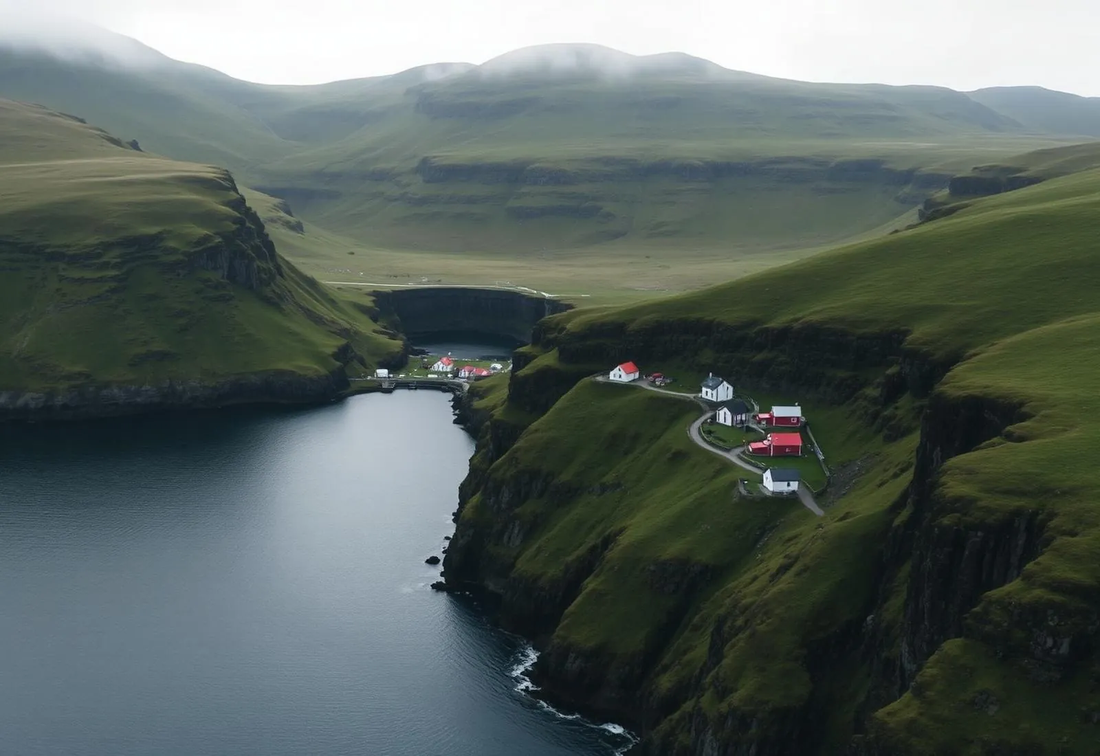
The Særla saga’s fragment is thin — Grímur Kamban, a name half Norse, half Gaelic, settling around 825 — but Funningur holds the tradition: the first landing, in the deepest shelter of a fjord that hides its mouth from the open sea. Standing at the shore, the logic is visible. This is where a longboat’s crew would have exhaled.
The village has never grown past a few dozen souls. Its church, black timber under turf, was raised in 1847 and looks both brand new and thousand-year-old — the Faroese trick of building as if time were a material.