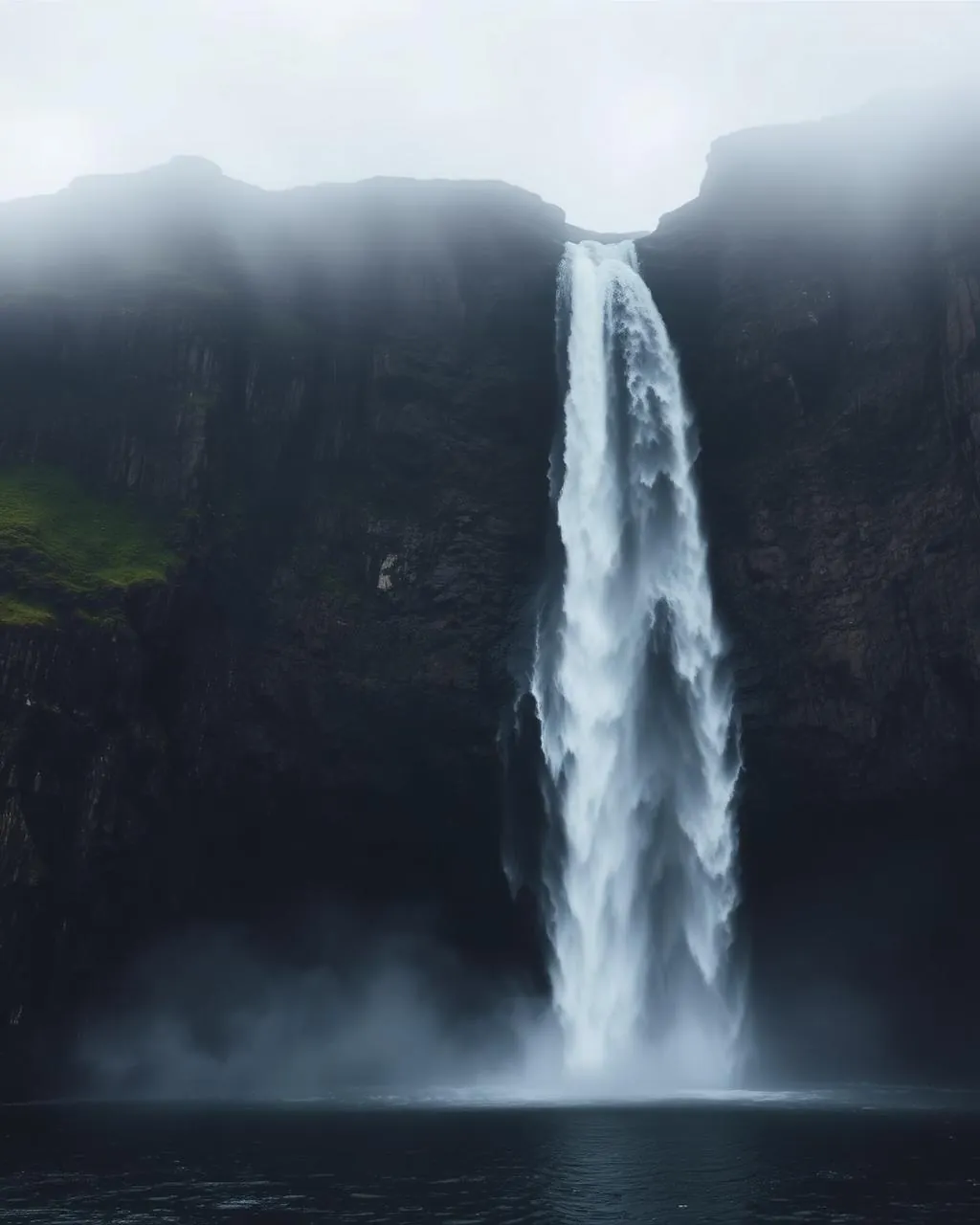
Fossá.
The islands’ tallest waterfall, stacked in two roadside tiers.
Fossá falls about 140 metres in two broad steps down the basalt above the Sundini sound, north of Haldarsvík — and you can walk to the foot of it straight from the road.
- 01After heavy rain the whole cliff face turns white
- 02In hard westerlies the water blows uphill
- 03Two tiers — the upper one hides until you climb
- 04Winter dresses the edges in ice
The place, as it lets itself be seen.
How the weather
behaves here.
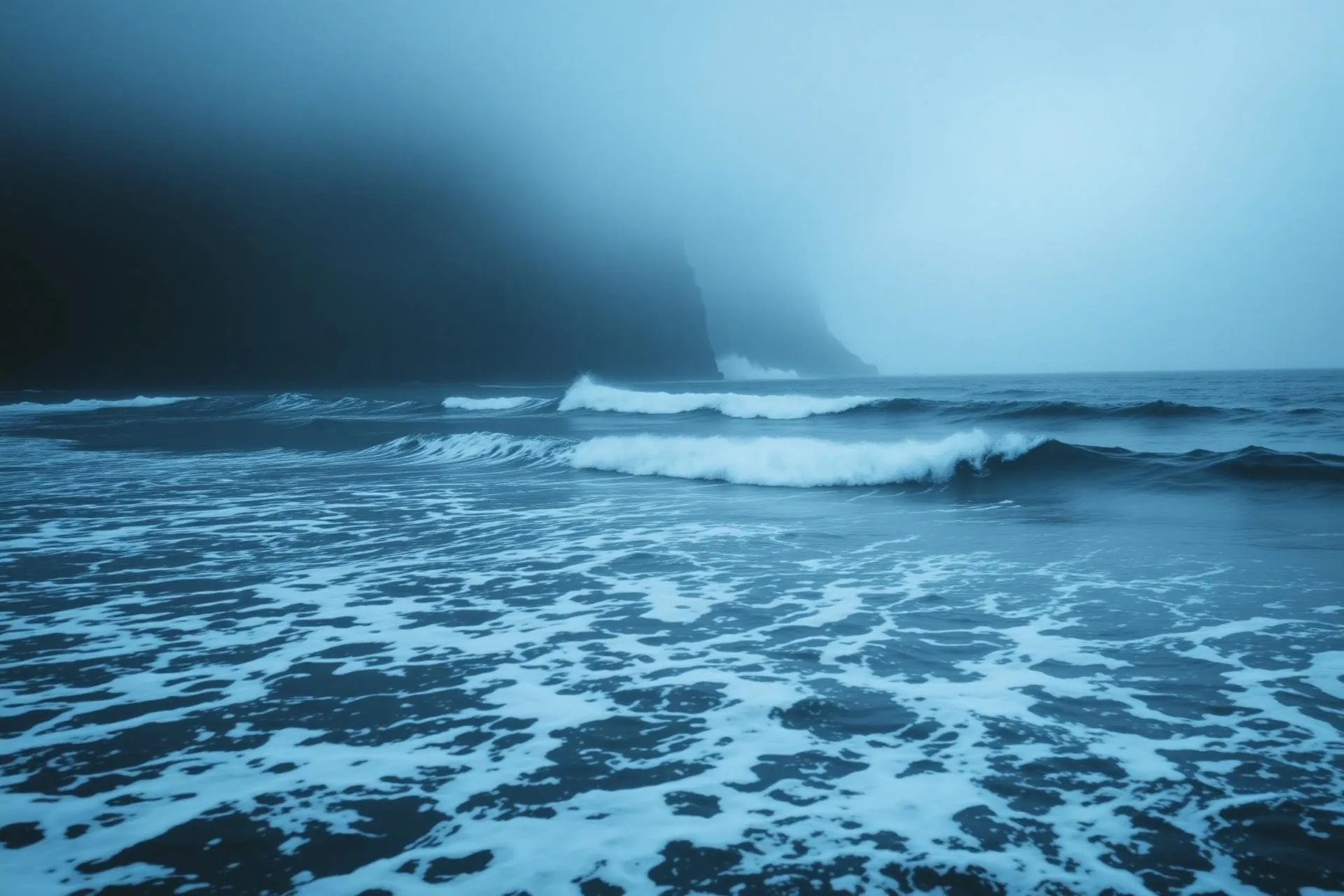
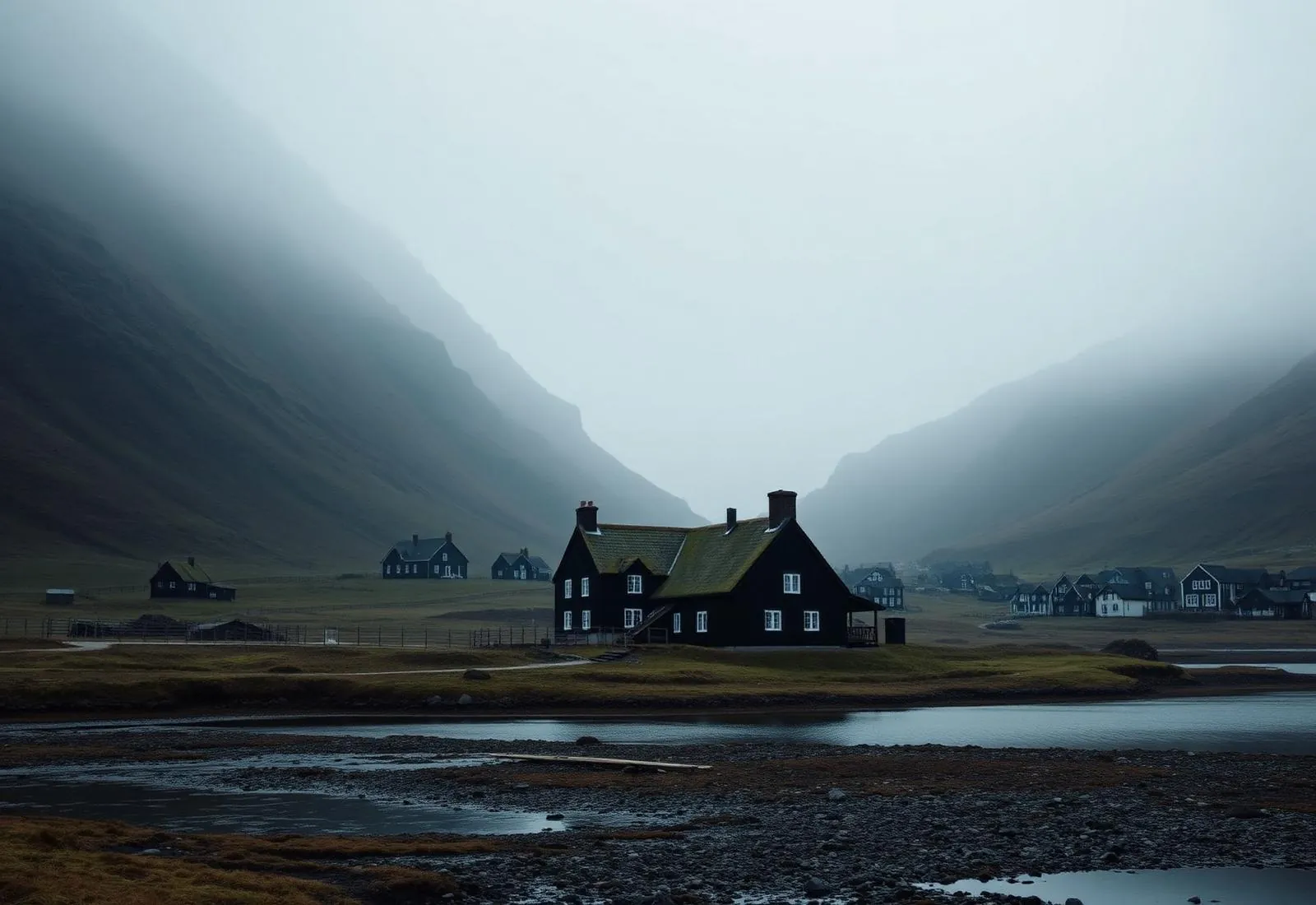
Read the air before you arrive. Fronts pass fast in the Faroes — fog, wind, and light can rewrite this place within an hour.
How to arrive,
how to stay.
- Access
- Roadside on the Sundini coast road north of Hvalvík
- Parking
- Gravel pull-off at the base
- Difficulty
- Easy
- Duration
- 20–60 min · longer to the upper tier
- Best season
- After rain · spring melt
- Crowd level
- Moderate
- Drone
- Permitted
- Safety
- Wet basalt is glass · mind the road shoulder
A field guide
for the light.
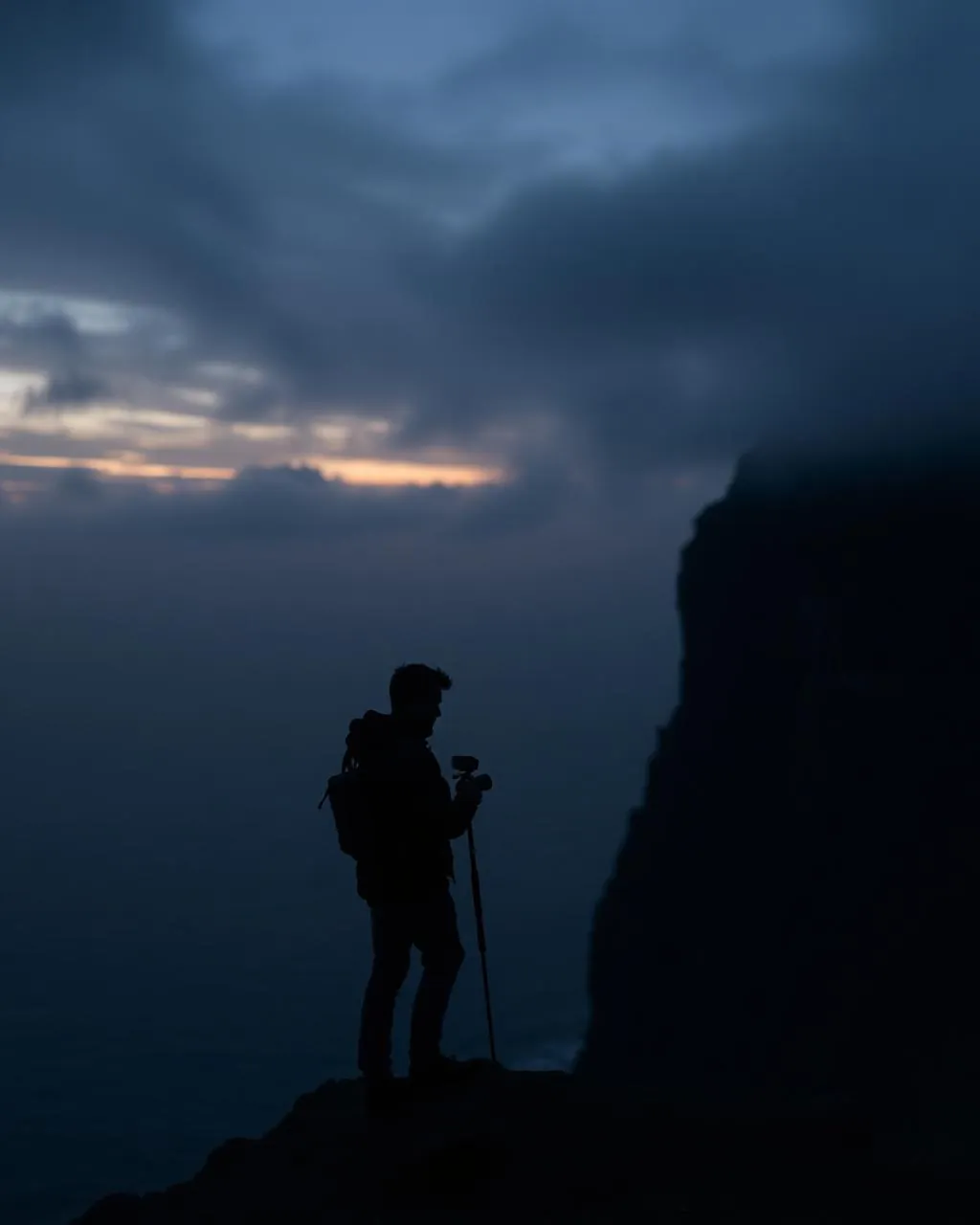
The day after a storm — maximum water, clearing sky. Get low at the base and let the two tiers stack; a figure on the path sets the 140 m scale.
- 16–35mm wide at the base
- 24–70mm from across the road
- ND for silk
Clean airspace — but spray kills gimbals; keep upwind.
March–May melt · any wet week
62.25° N · 7.05° W
Surrounding villages, hikes, and weather overlays — open the full atlas to explore in motion.
Within an
afternoon's drift.
A waterfall with moods.
“Fossá is not a monument. It is a report on the last 24 hours of weather.”
Most famous waterfalls are steady-state. Fossá is a gauge: after a dry fortnight it is a modest braid down the basalt; after an Atlantic front it is a hundred-and-forty-metre argument you can hear from across the sound. Checking Fossá on the drive north is how you calibrate what the islands’ rivers are doing everywhere else.
The scramble to the upper tier takes ten careful minutes and swaps the roadside view for a private amphitheatre — the top step pouring past, Sundini and the hills of Eysturoy arranged below.