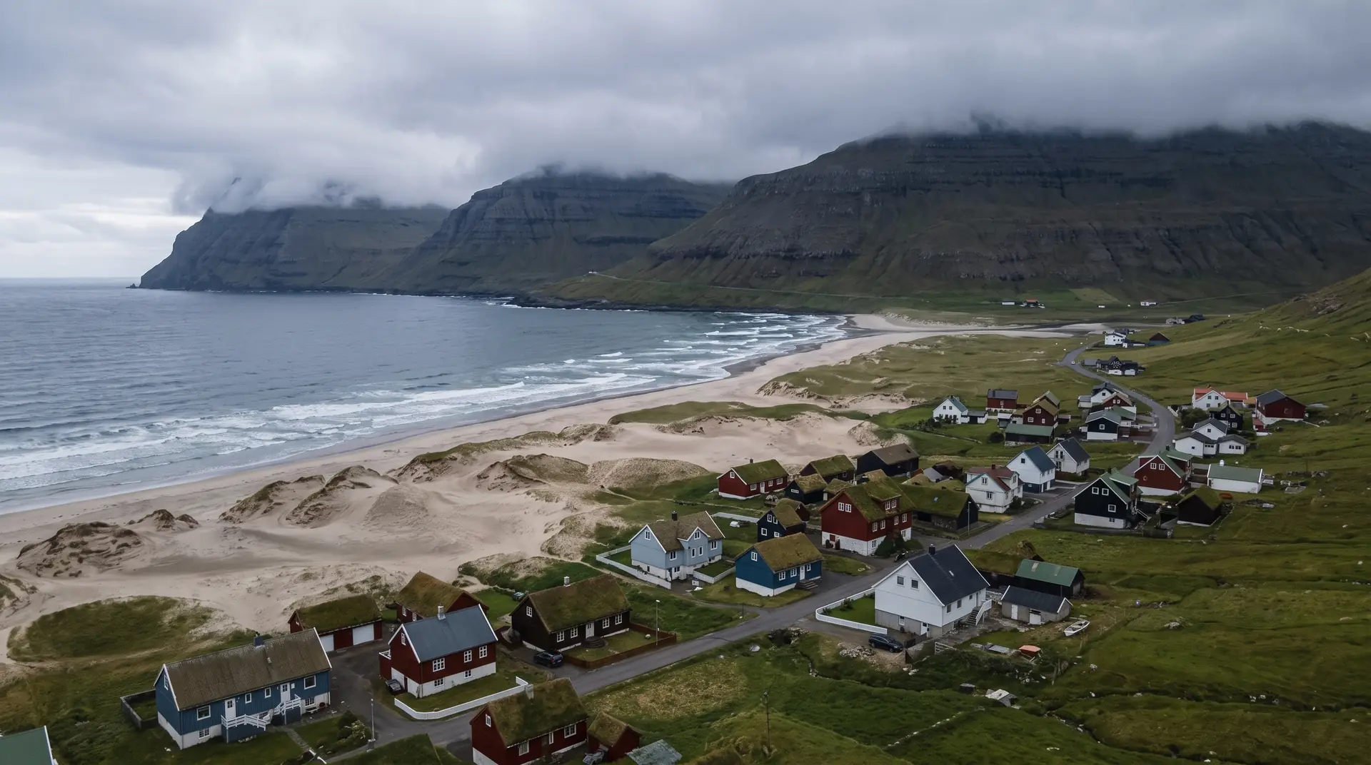
Sandur.
The only sand dunes in the Faroes, on the island that was named for them.
Five hundred and twenty-one people live around a shallow bay of pale sand on Sandoy — the archipelago’s only true dune system — with Sandsvatn, its third-largest lake, lying directly behind the beach.
- 01Black basalt sand held in place by marram grass
- 02Whooper swans rest on the lake each spring on the way to Iceland
- 03The oldest known settlement on Sandoy
- 04Twenty-five minutes from Tórshavn since the tunnel opened
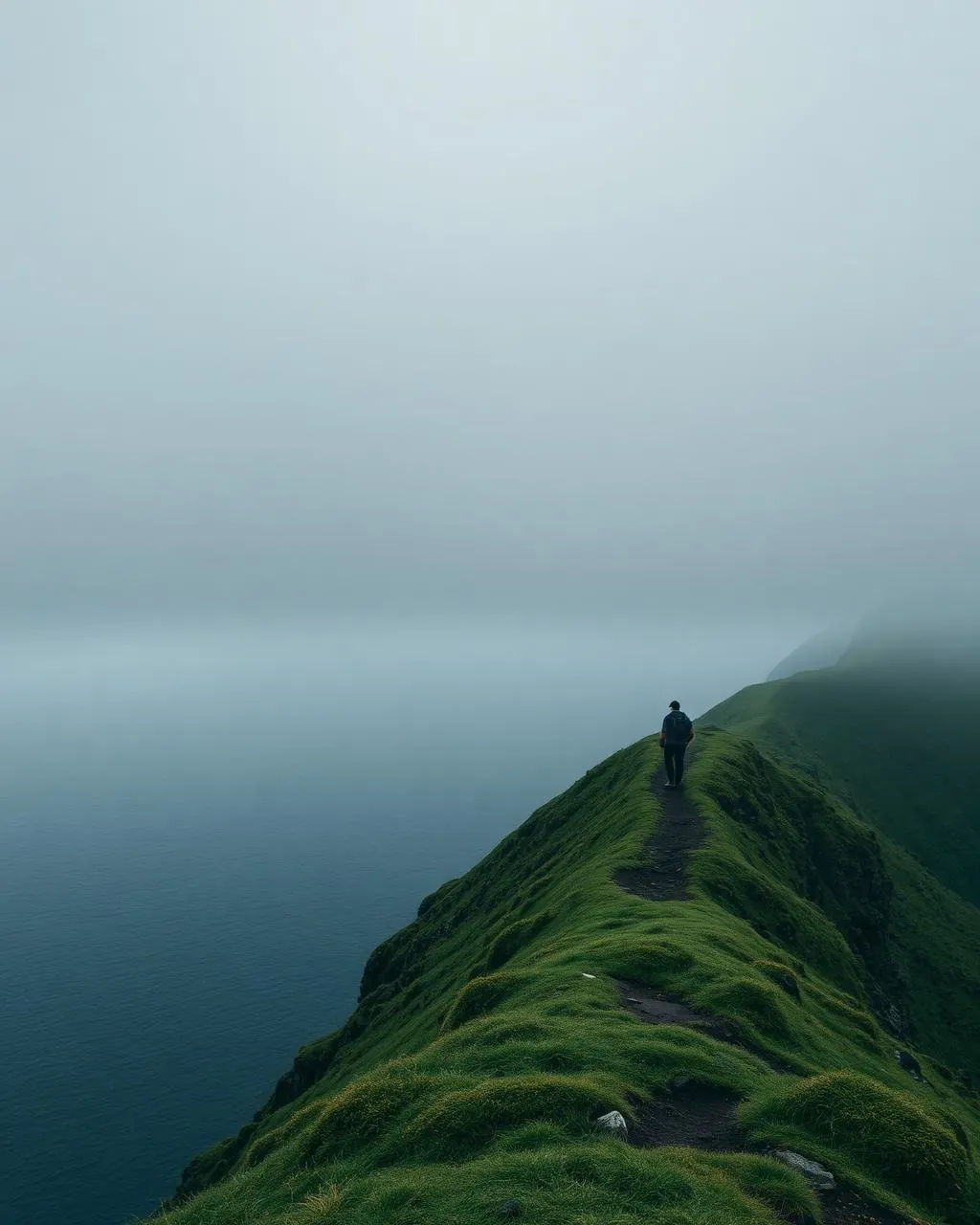
The place, as it lets itself be seen.
How the weather
behaves here.
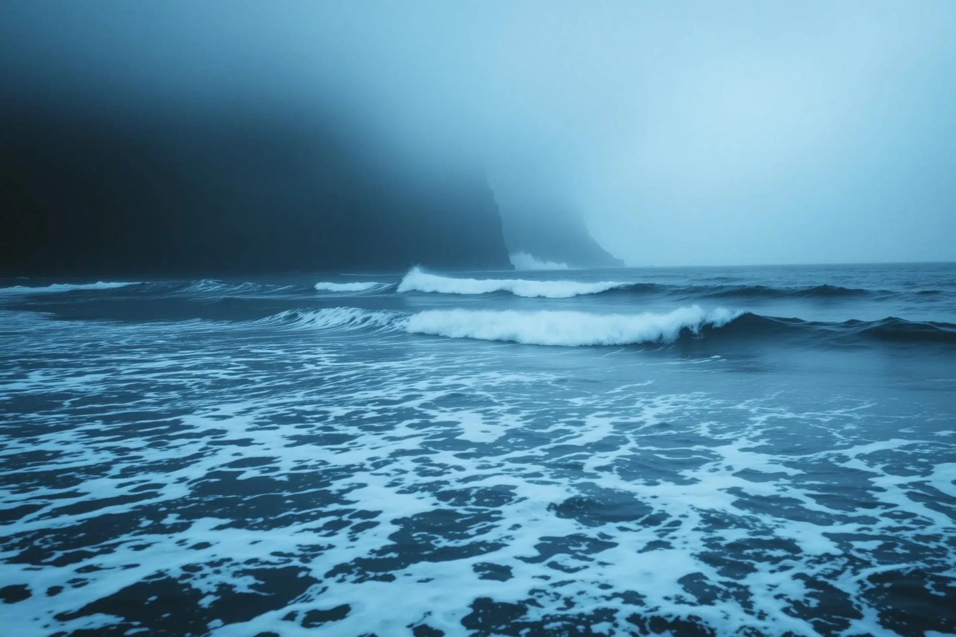
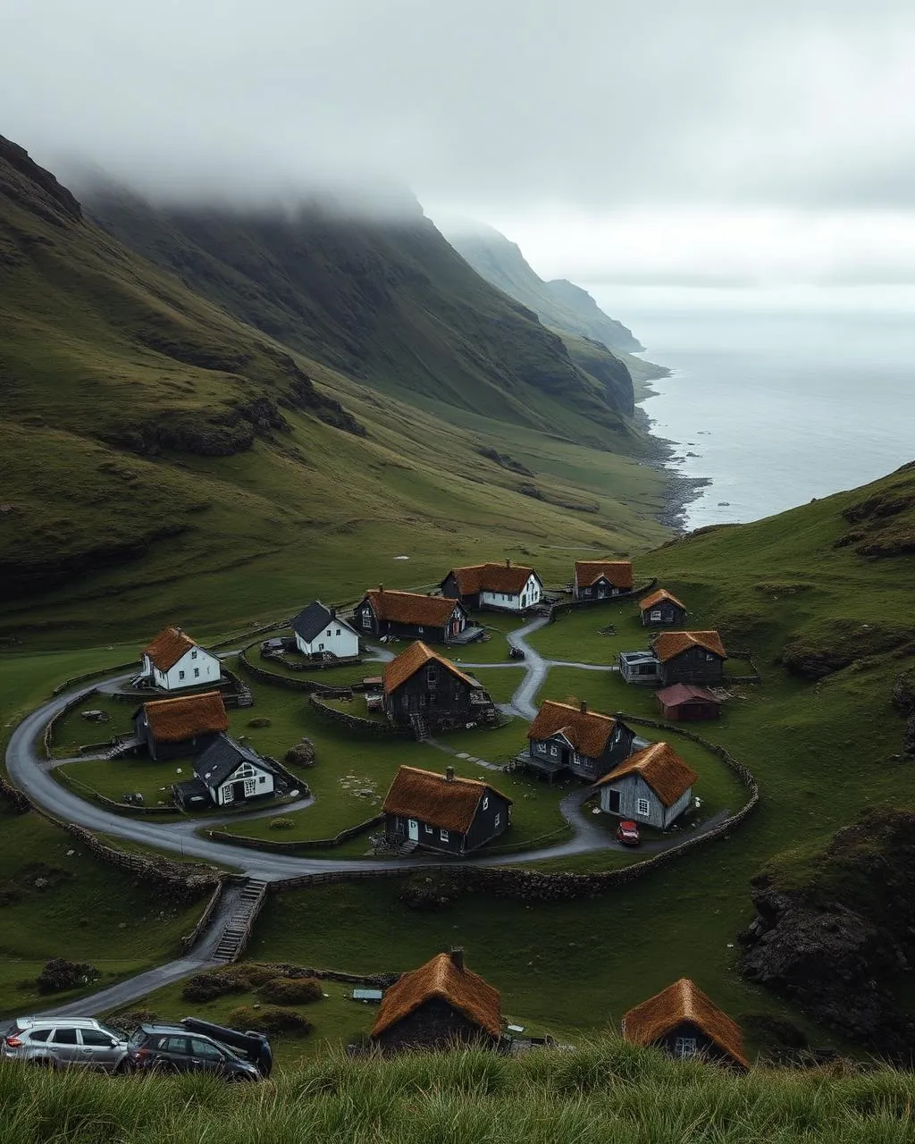
Read the air before you arrive. Fronts pass fast in the Faroes — fog, wind, and light can rewrite this place within an hour.
How to arrive,
how to stay.
- Access
- Sandoyartunnilin from Gamlarætt on Streymoy, then south on the island road · about 25 min from Tórshavn
- Parking
- Free roadside and village spaces by the beach and the lake
- Fees
- No charge for beach, dunes or lake · Sandoyartunnilin tolls 175 DKK per crossing (2025), billed by plate — check tunnil.fo
- Difficulty
- Easy
- Duration
- An hour on the beach · 2–3 hours for the Sandsvatn circuit
- Best season
- May–September · the lake margins stay boggy the rest of the year
- Crowd level
- Quiet
- Drone
- Restricted
- Safety
- The dunes are protected ground — keep to the paths · lake edges waterlog after rain
A field guide
for the light.
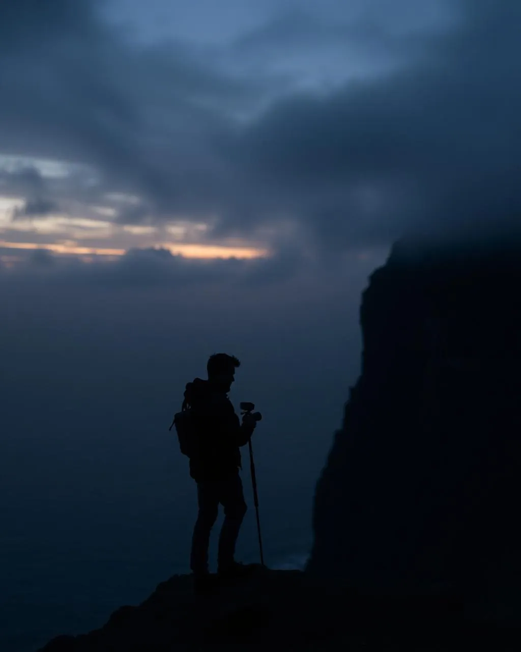
Evening from the western shore of Sandsvatn. Kneel in the marram so the grass heads catch the light and the pale bay opens behind — there is no other foreground like it in the country.
- 16–35mm wide on the dunes
- 24–70mm standard
- 70–200mm for birds on the lake
Protected dunes, a lake full of birds and five hundred people · 150 m clear, under 120 m, and stay off the water.
Late spring for the swans · September for warm light on the sand
61.83° N · 6.82° W
Surrounding villages, hikes, and weather overlays — open the full atlas to explore in motion.
Within an
afternoon's drift.
The island named after its sand.
“In a country of basalt and turf, one bay decided to be a beach.”
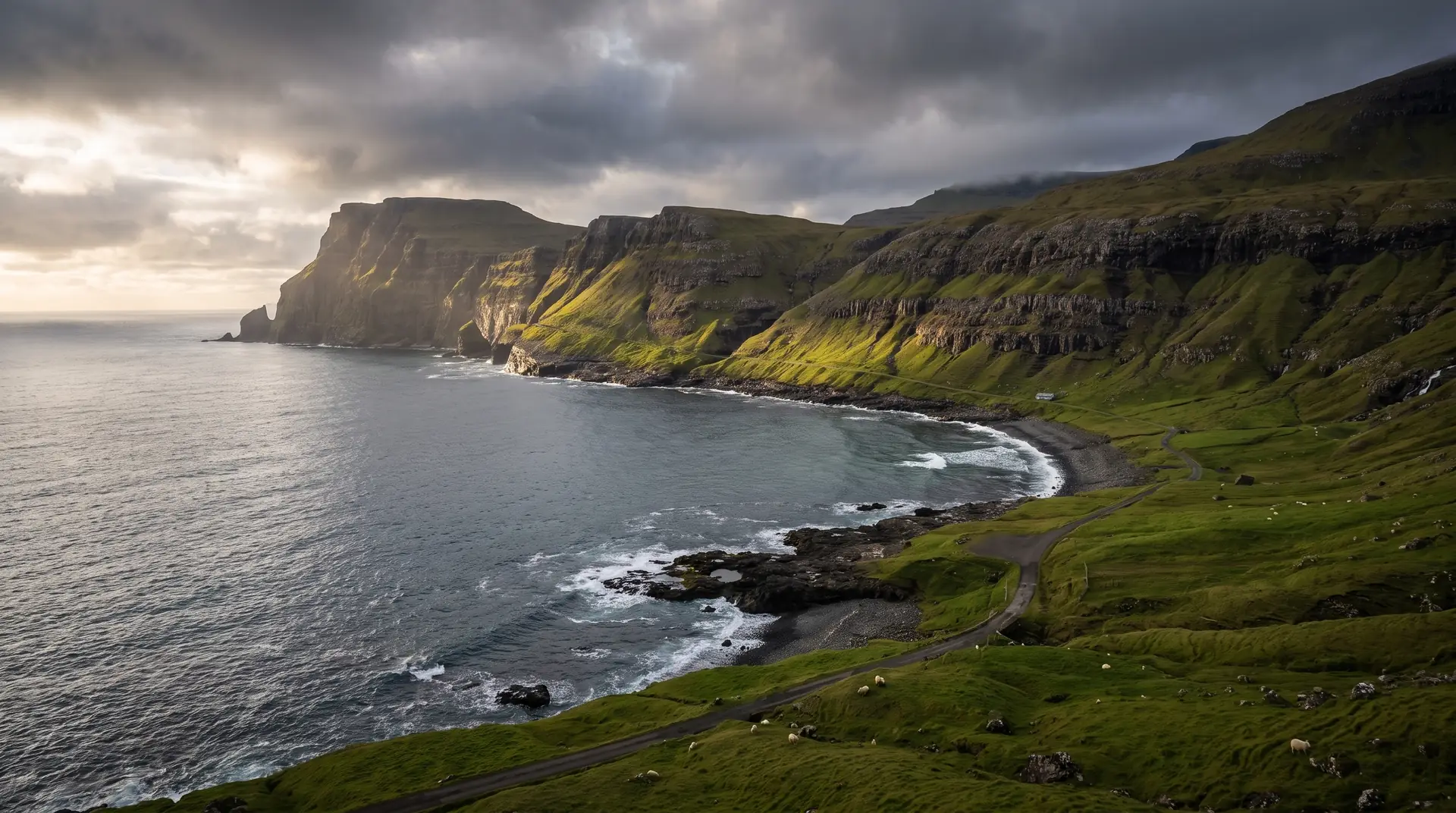
Mølheyggjar — the dunes behind Sandur’s beach — are the only system of their kind in the Faroes: black basalt sand, bound by marram, protected, and entirely out of keeping with a landscape that everywhere else meets the sea as cliff or boulder. The island took its name from them long before anyone thought to conserve them.
Behind the dunes lies Sandsvatn, the third-largest lake in the islands, long and shallow and full of trout. Every spring it becomes the last resting place for whooper swans working their way north to Iceland, which makes the two-to-three hour circuit around it as much a bird walk as a landscape one.
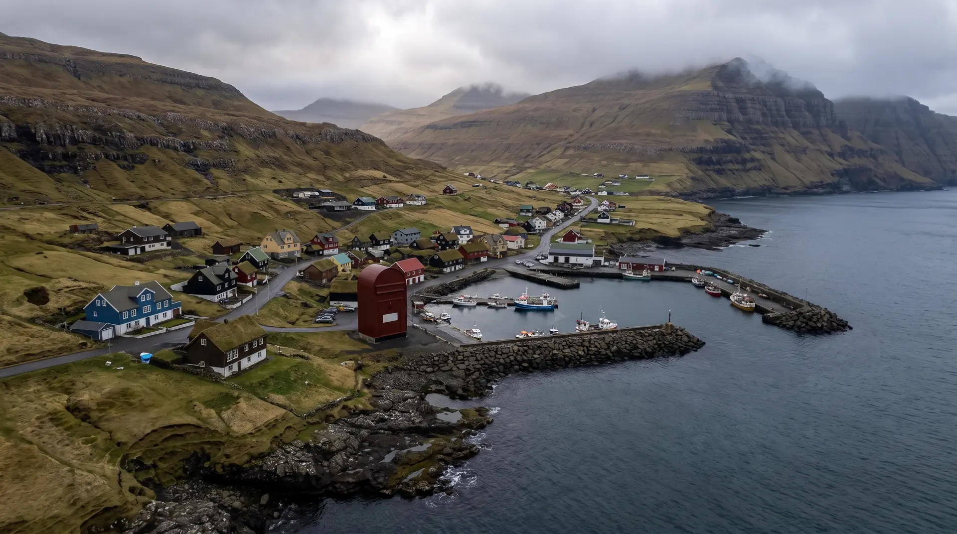
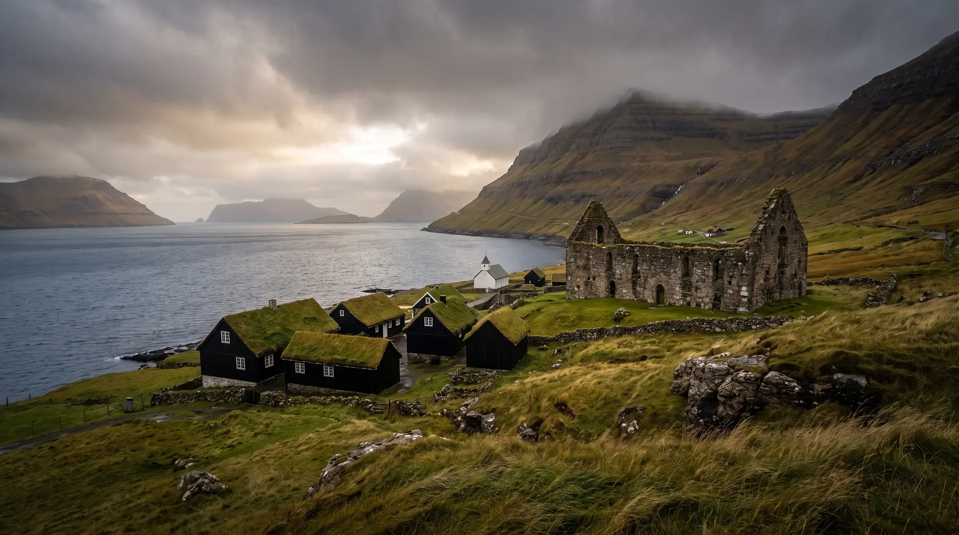
Sandur is also the oldest known settlement on Sandoy, and until recently it took a ferry to reach. The tunnel changed that arithmetic completely: the drive from central Tórshavn now runs to about twenty-five minutes, which is less time than the crossing used to take to load.