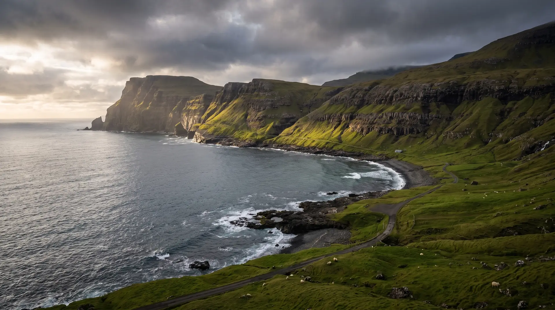
Søltuvík.
A bay at the end of a wild road, kept for its sunsets.
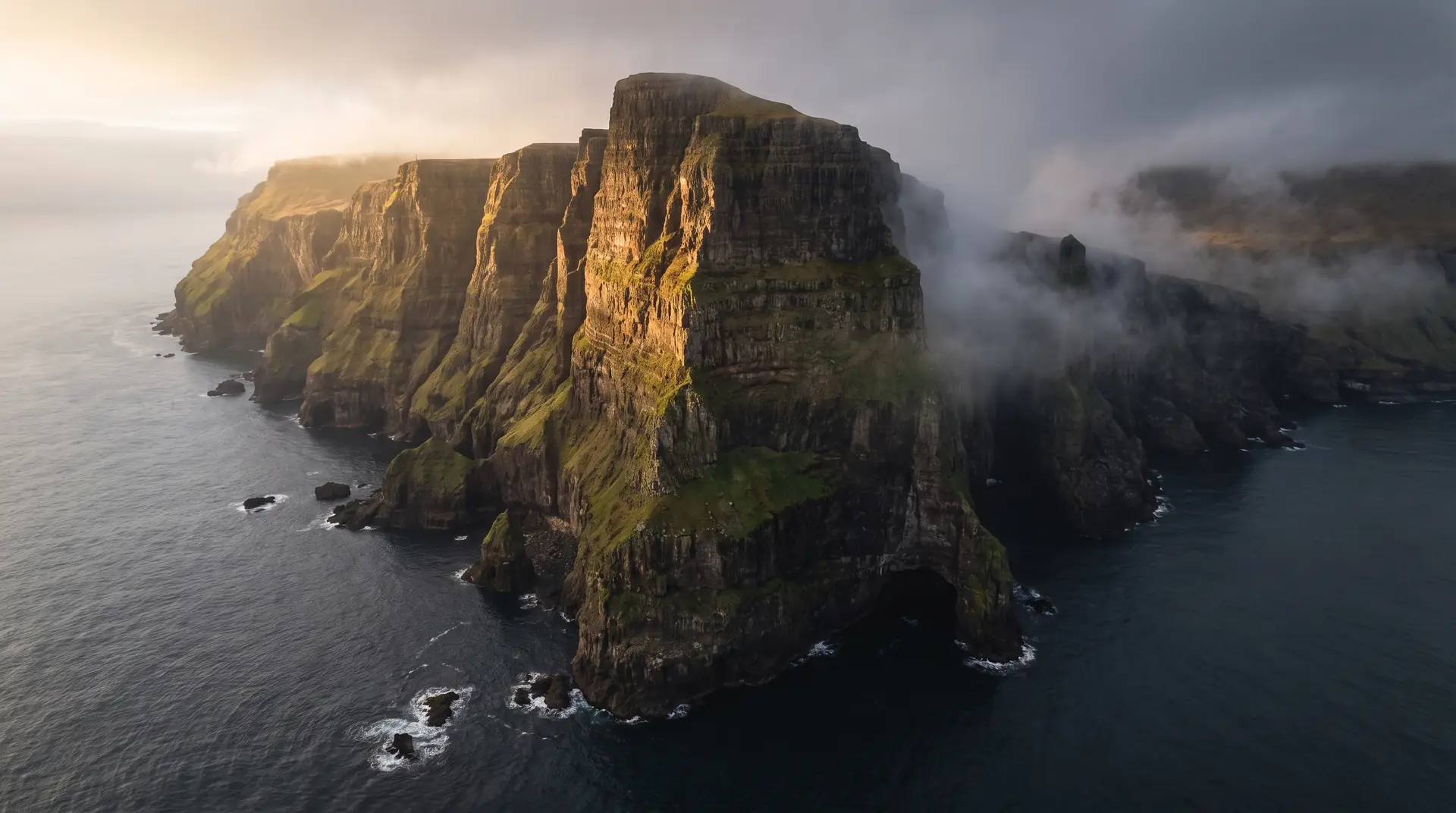
West of Sandur, past lake Gróthúsvatn, a narrow road runs out to Søltuvík — an exposed Atlantic bay with the sea stack Oknardalsdrang standing off it. Visit Sandoy calls it beautiful in any weather and extraordinary at sunset.
- 01Nothing between this bay and Greenland
- 02The road out is narrow, half-wild, and legal to walk end to end
- 03Gróthúsvatn sits halfway, holding the sky
- 04Swell arrives with the whole ocean behind it
The place, as it lets itself be seen.
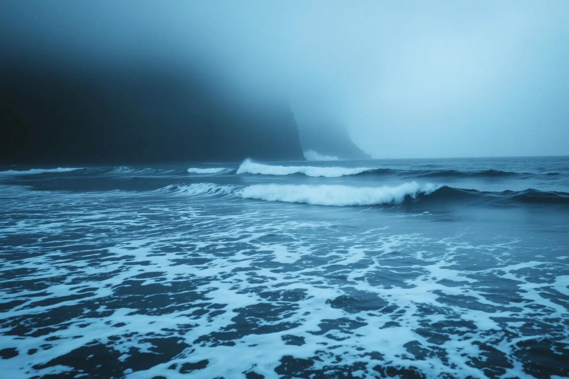
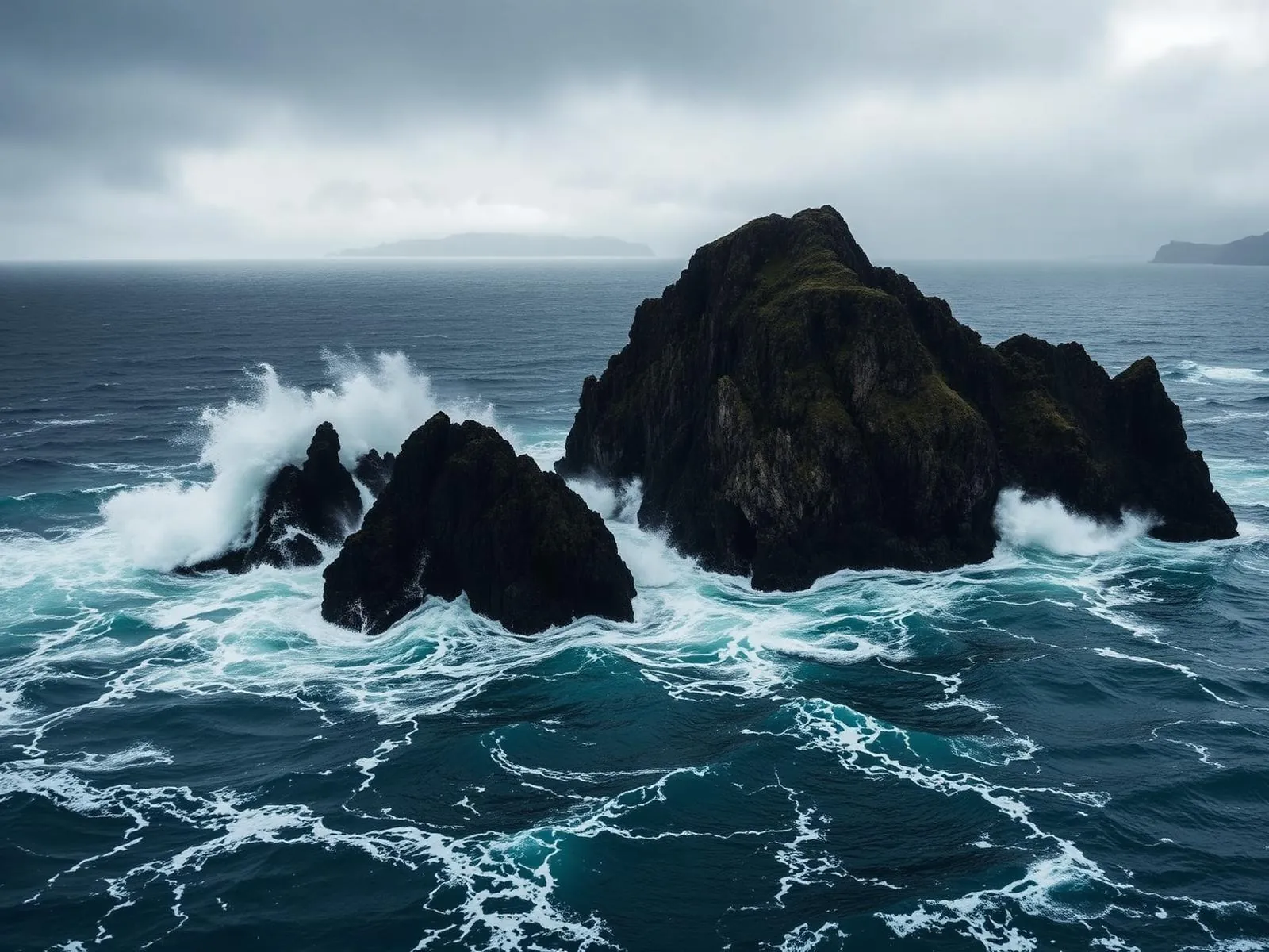
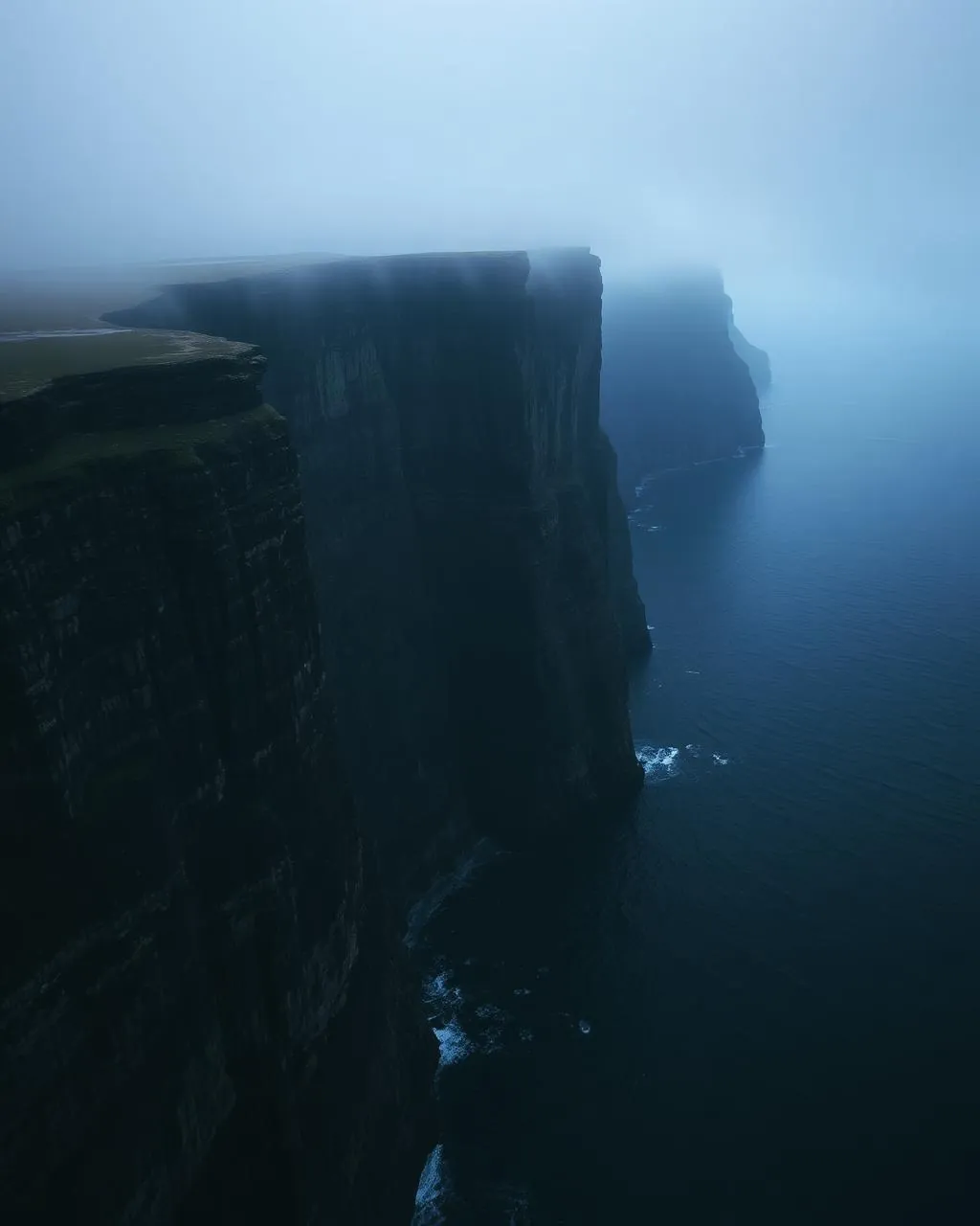

How the weather
behaves here.
Read the air before you arrive. Fronts pass fast in the Faroes — fog, wind, and light can rewrite this place within an hour.
How to arrive,
how to stay.
- Access
- Narrow asphalt road west from Sandur past Gróthúsvatn · drivable in good conditions and walkable throughout
- Parking
- Informal pull-outs near the lake and at the road end
- Fees
- Free · no charge on the road or at the bay
- Difficulty
- Moderate
- Duration
- 3–4 hours on foot from Sandur · under an hour if you drive most of it
- Best season
- May–September
- Crowd level
- Quiet
- Drone
- Permitted
- Safety
- Unfenced edges and heavy swell · exposure and wind are the hazard here, not the terrain
A field guide
for the light.
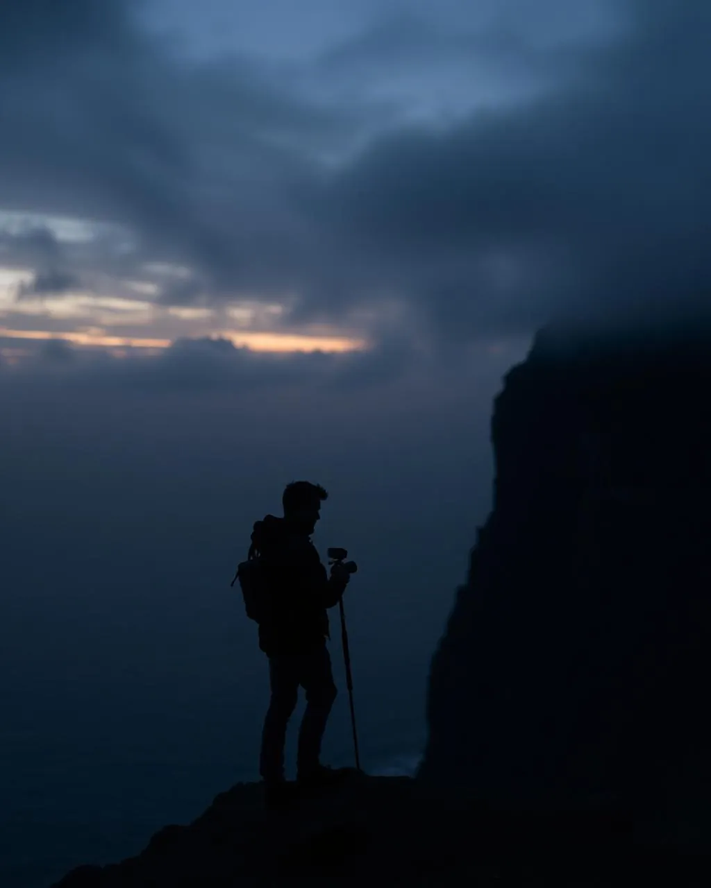
West-facing sunset — the reason the bay has its reputation. Put Oknardalsdrang on a third and let an incoming set lead the eye into it; from the road end the stack stands clean against open water.
- 16–35mm wide
- 70–200mm for the stack
- ND for surf
Open ground well clear of any village · stay under 120 m and expect the bay to funnel wind harder than the drive suggested.
May–September evenings · autumn for the largest swell
61.84° N · 6.89° W
Surrounding villages, hikes, and weather overlays — open the full atlas to explore in motion.
Within an
afternoon's drift.
The far side of Sandoy.
“The road narrows, the grass takes over the middle of it, and then the Atlantic is simply there.”
Søltuvík is the reward for driving past the point where the road stops feeling like infrastructure. It runs west out of Sandur, threads by Gróthúsvatn, and ends at a bay facing nothing at all — open ocean to the horizon, with the sea stack Oknardalsdrang holding position offshore.
Walking it is a recognised day out rather than a hardship: about eleven or twelve kilometres return from the village on a surface that never becomes a scramble. What makes the bay difficult is exposure. There is no fence, no shelter, and the swell arrives with a fetch measured in thousands of kilometres.
The islanders single it out for the evenings, and they are right. The bay faces the sunset squarely, and on a clear one the light comes in flat and low across the water and turns the stack into a single black note in a great deal of gold.