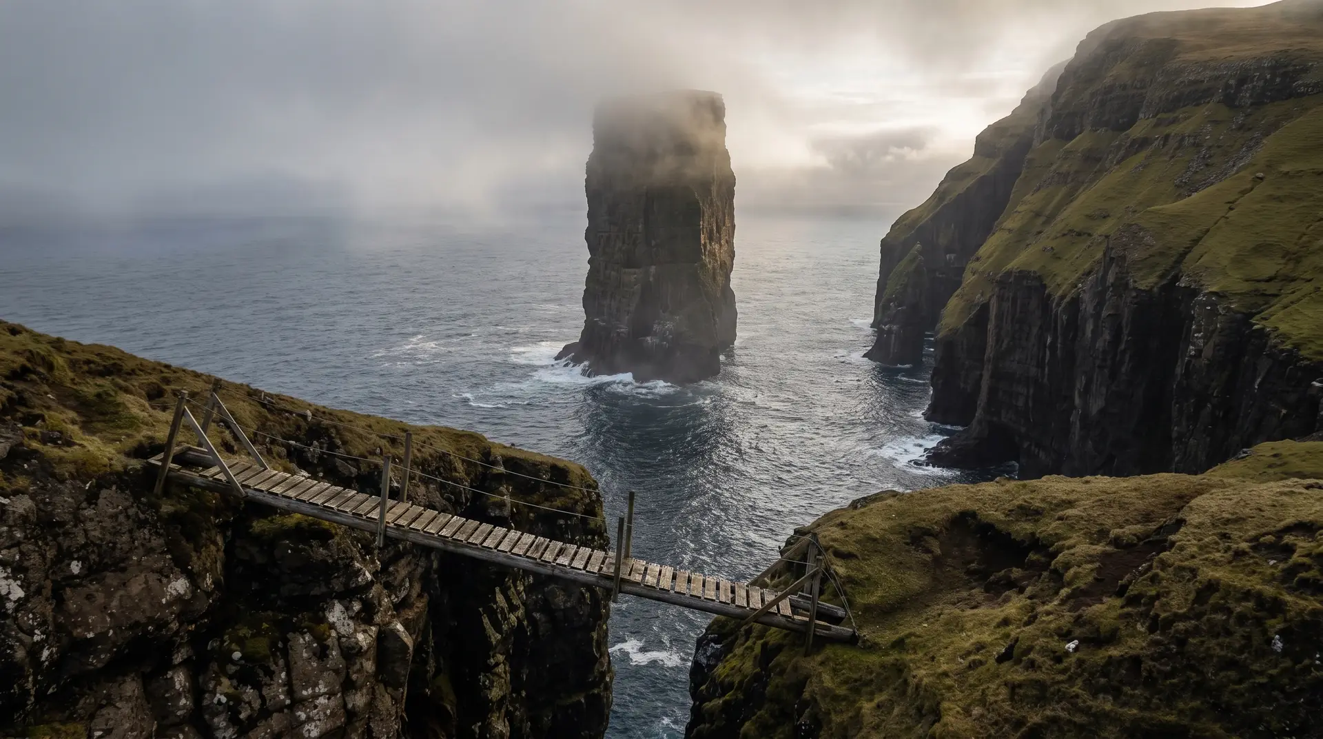
Ásmundarstakkur.
A hundred-metre stack offshore, and a bridge over a chasm behind it.
West of Sandvík on Suðuroy’s north coast, a flat half-hour walk ends above Ásmundarstakkur — a sea stack of about 109 metres. The steeper loop behind it crosses Rituskor, a chasm some 300 metres deep, on a wooden bridge.
- 01Thirty flat minutes for one of the south’s largest views
- 02The bridge over Rituskor is short, narrow and entirely exposed
- 03Bird cliffs work the updraft all around the stack
- 04Wind decides whether the loop is a walk or a bad idea
The place, as it lets itself be seen.
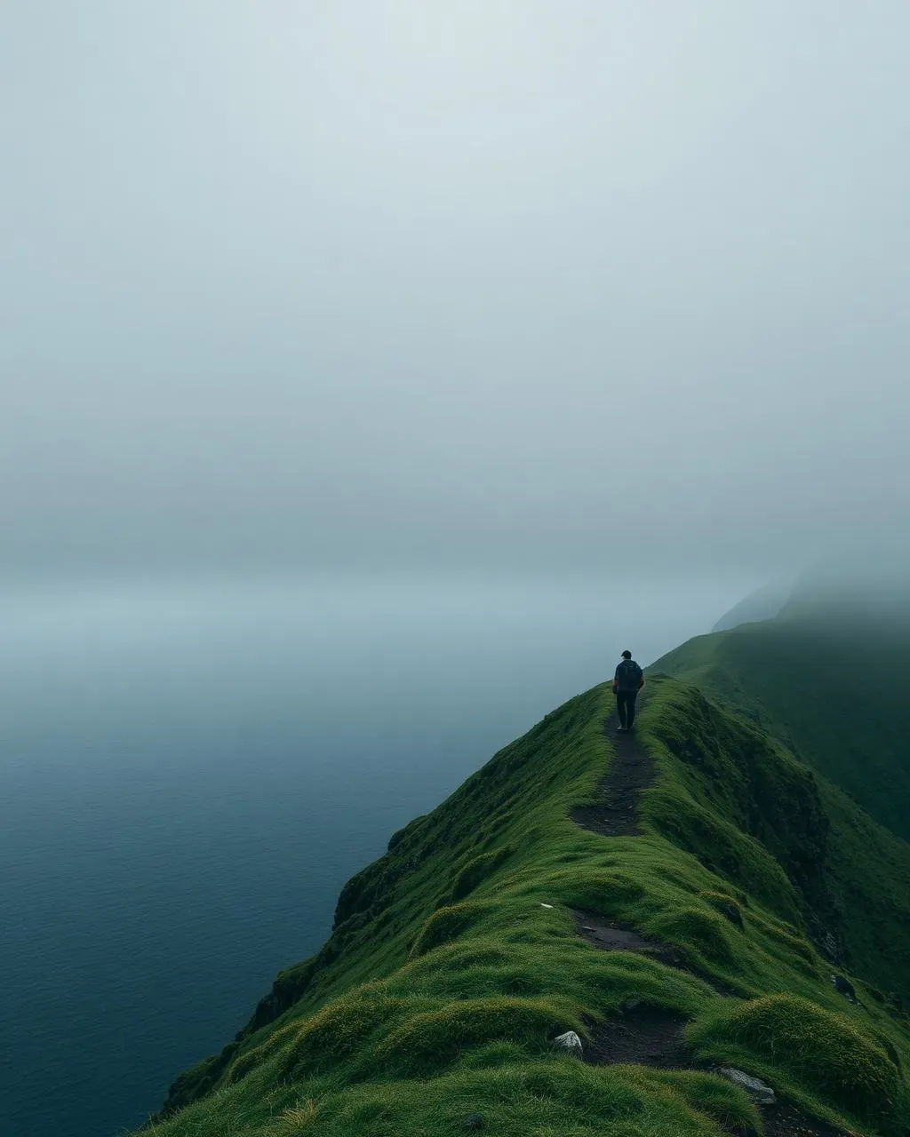
How the weather
behaves here.
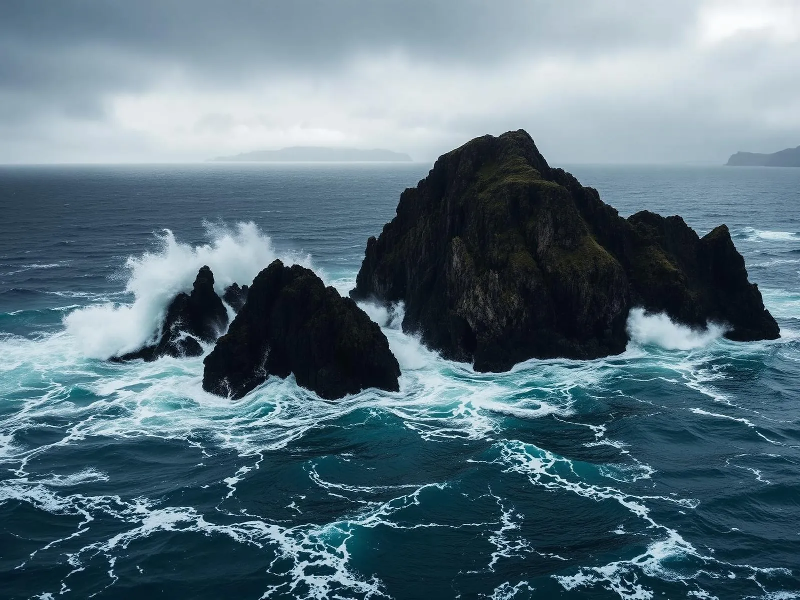
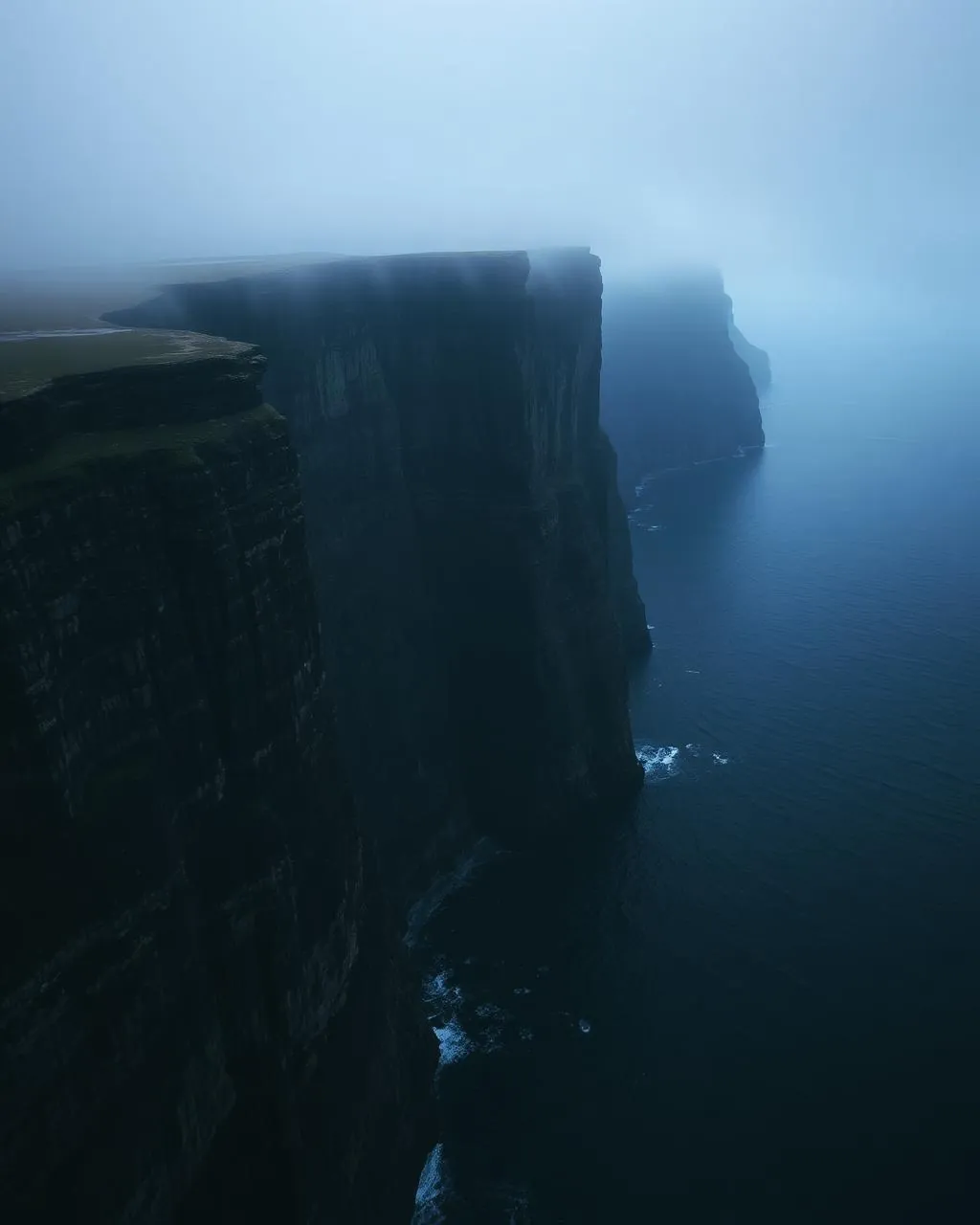
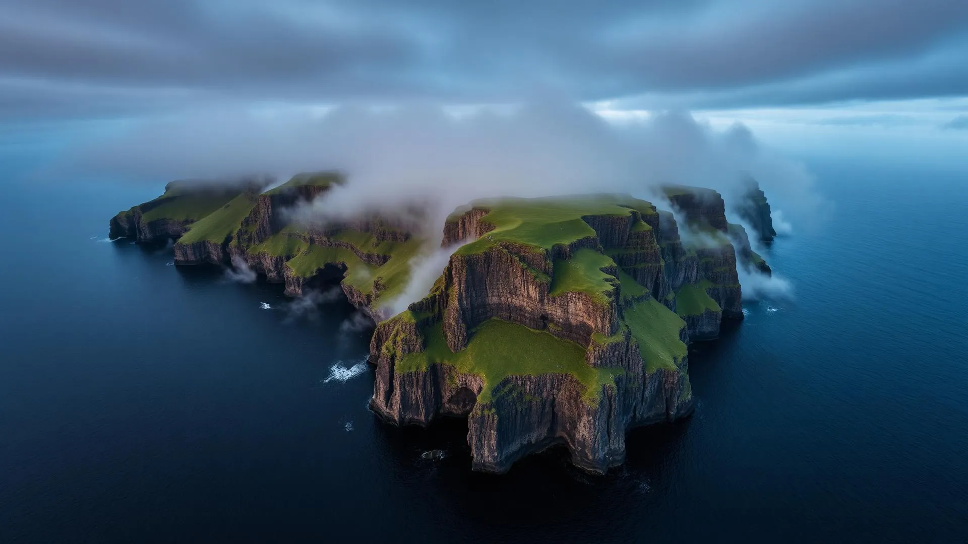
Read the air before you arrive. Fronts pass fast in the Faroes — fog, wind, and light can rewrite this place within an hour.
How to arrive,
how to stay.
- Access
- Ferry to Krambatangi, then north to Sandvík · trailhead parking on Heiðavegur about 1.5 km west of the main road
- Parking
- Small free lot at the trailhead · driving on is unwise, the surface turns to loose stone
- Ferry
- Tórshavn → Krambatangi · 2 h 05 · 2–3 sailings daily · fares at ssl.fo
- Fees
- Free to walk · guided hikes are priced separately, with one operator listing around 1,825 DKK per adult (2025) for a four-hour trip
- Difficulty
- Moderate
- Duration
- About 30 min each way to the viewpoint · 2–3 hours for the 5 km Rituskor loop
- Best season
- May–September
- Crowd level
- Quiet
- Drone
- Restricted
- Safety
- Unfenced cliffs, a 300 m chasm and a narrow wooden bridge · take a guide for the crossing and turn back in poor visibility
A field guide
for the light.
Evening side-light — the stack separates from the wall behind it. From the first viewpoint the stack merges into the coastline; walk on until it stands clear of the cliff, then let the swell mark its base.
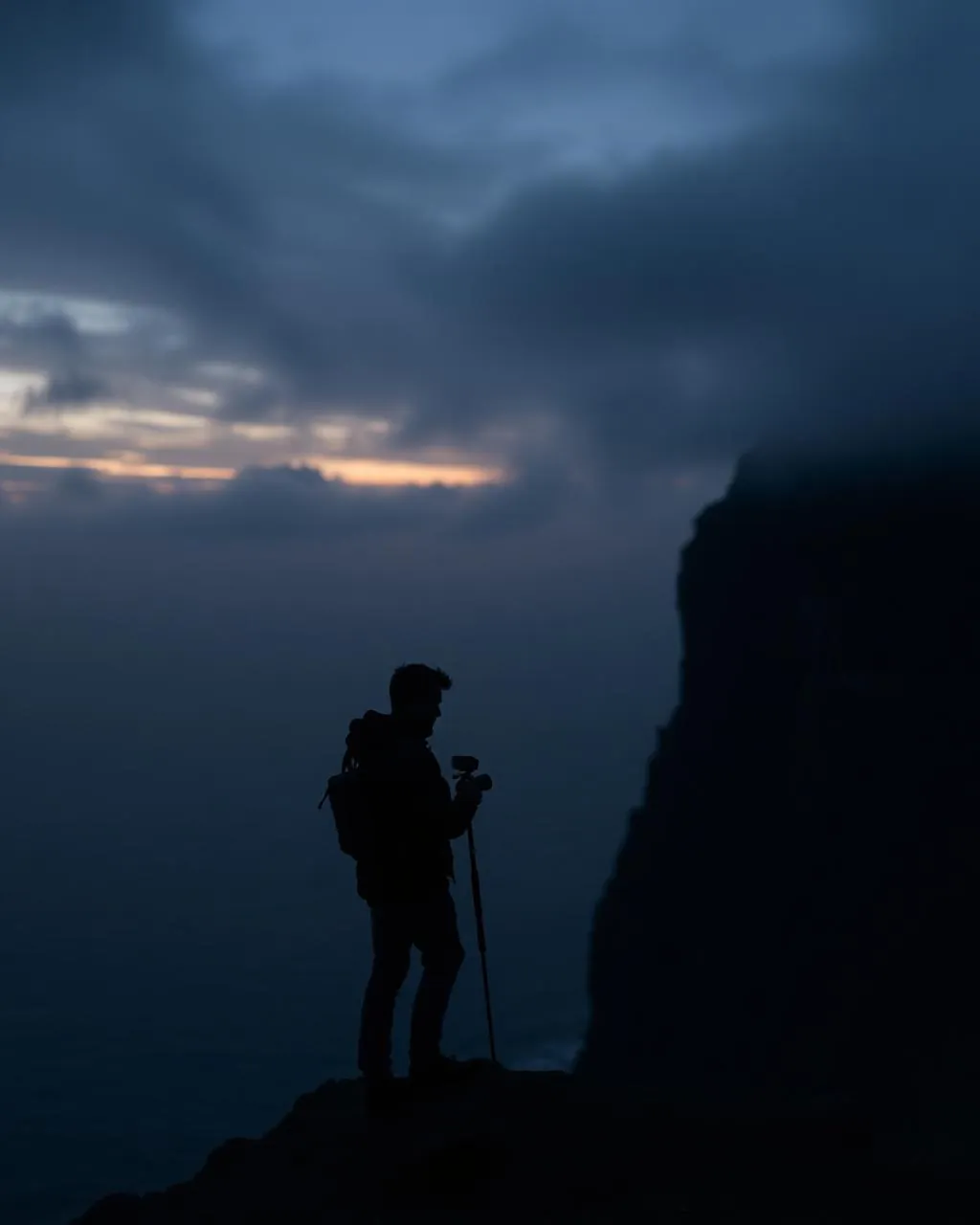
- 70–200mm for the stack
- 16–35mm at the chasm
- 24–70mm along the path
Nesting ledges and rotor-hostile gusts off the chasm · fly seaward, under 120 m, and not at all in a strong north-westerly.
June for light on the cliffs · September for a working sea
61.64° N · 6.98° W
Surrounding villages, hikes, and weather overlays — open the full atlas to explore in motion.
Within an
afternoon's drift.
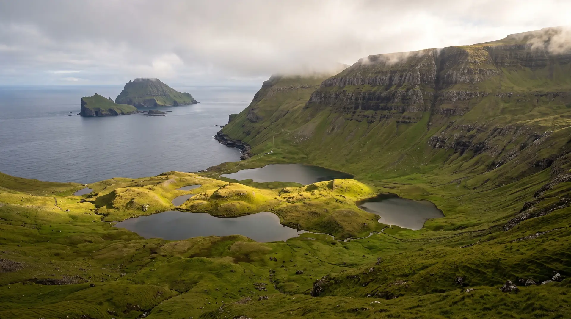
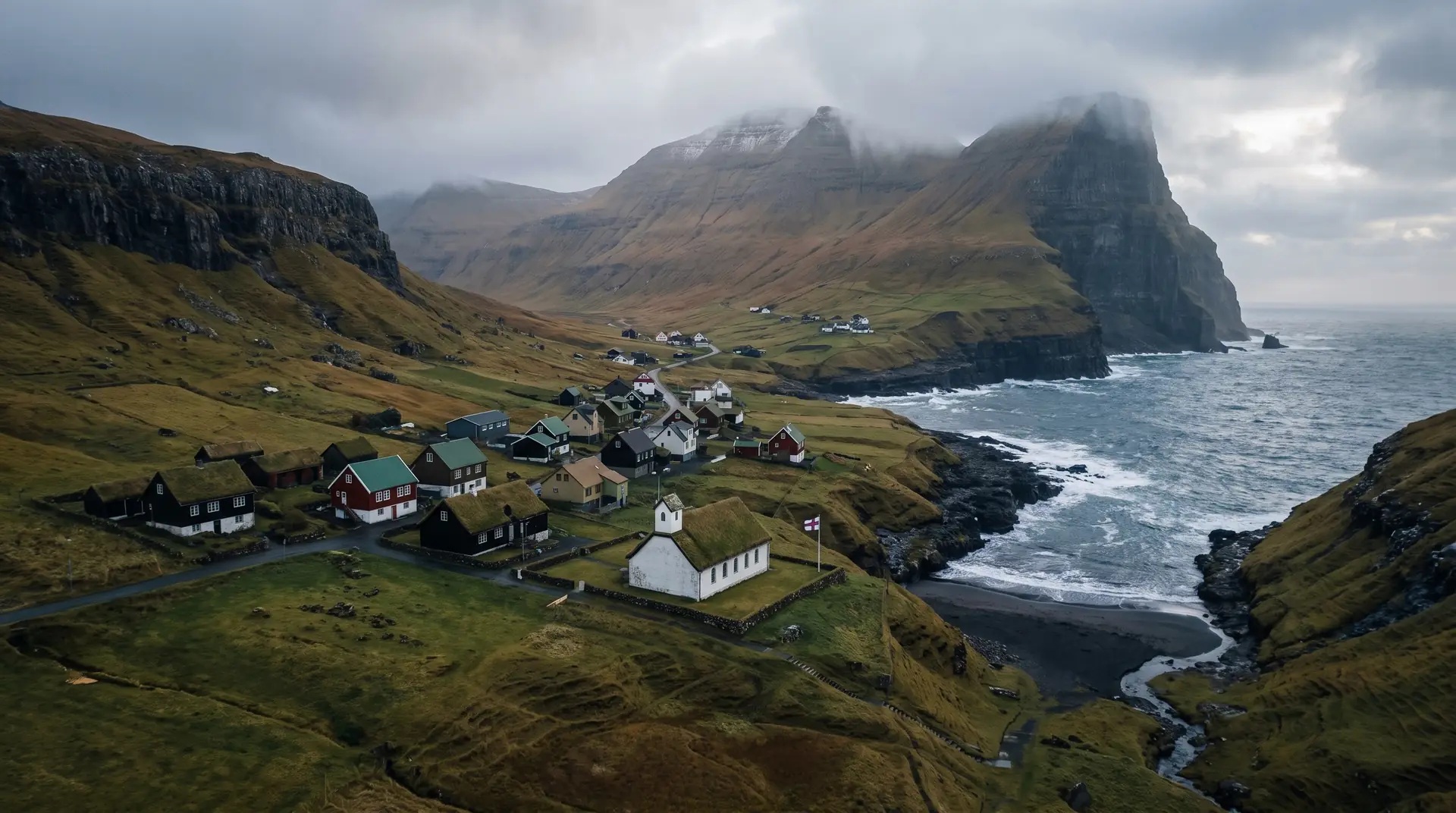
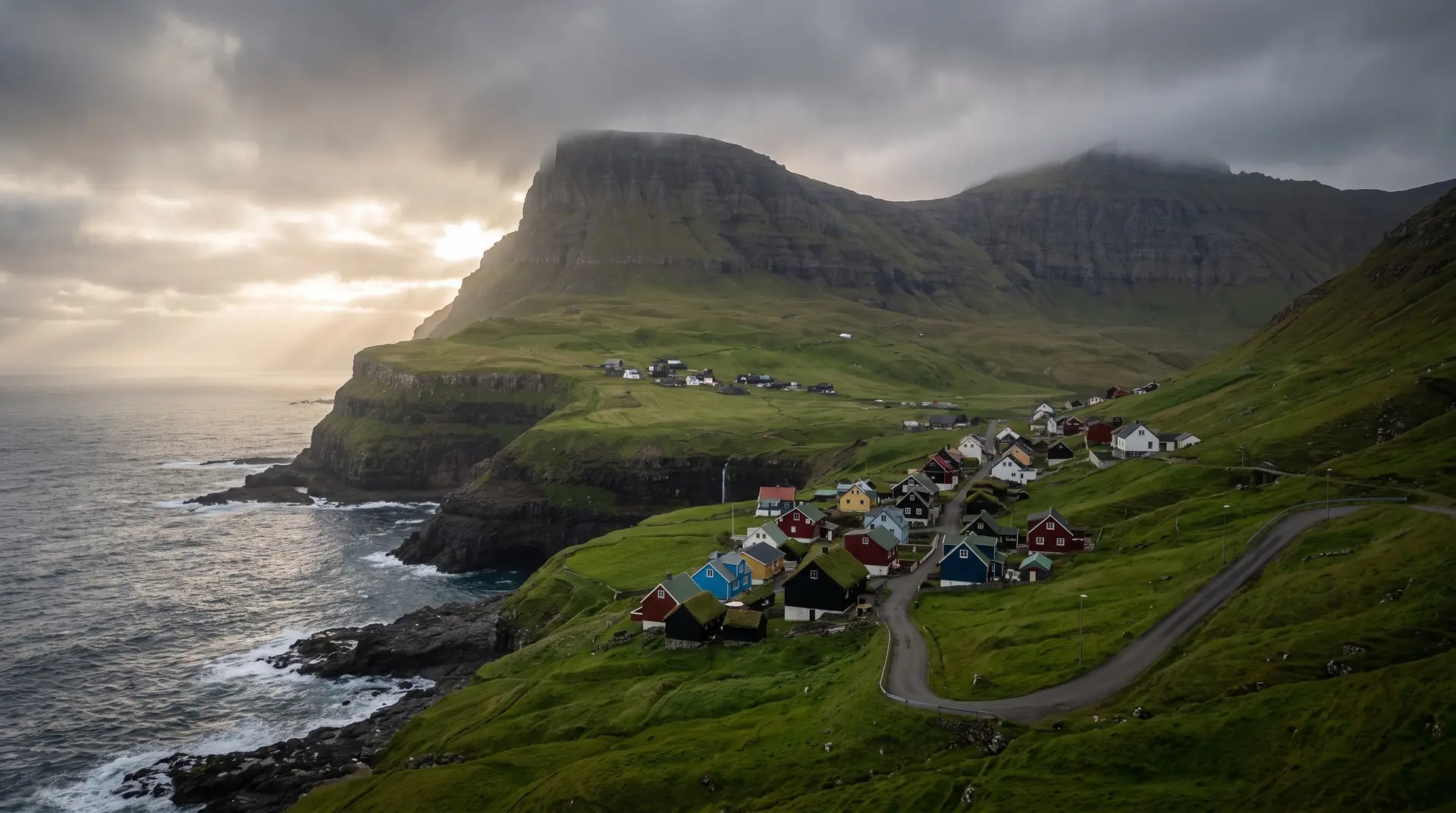
The stack, and the gap behind it.
“Half an hour of flat walking buys a view most countries would build a road to.”
The walk out of Heiðavegur is almost dull: level ground, waymarks, a half-hour of turf. Then the coast opens and Ásmundarstakkur is standing in the sea a little over a hundred metres tall, with bird cliffs running away north and the swell arriving unbroken from the open Atlantic.
The loop behind the viewpoint is a different proposition. It climbs to Rituskor, a chasm roughly three hundred metres deep cut back into the cliff, and crosses it on a wooden bridge — narrow, exposed, and the reason local operators are firm about taking a guide. Five kilometres, two to three hours, and no part of it forgiving in bad visibility.
Sandvík at the road end has sixty-seven residents and functions as the trailhead for all of it. The ferry from Tórshavn to Krambatangi puts you two hours plus a short drive away, which keeps the coast as empty as it looks.