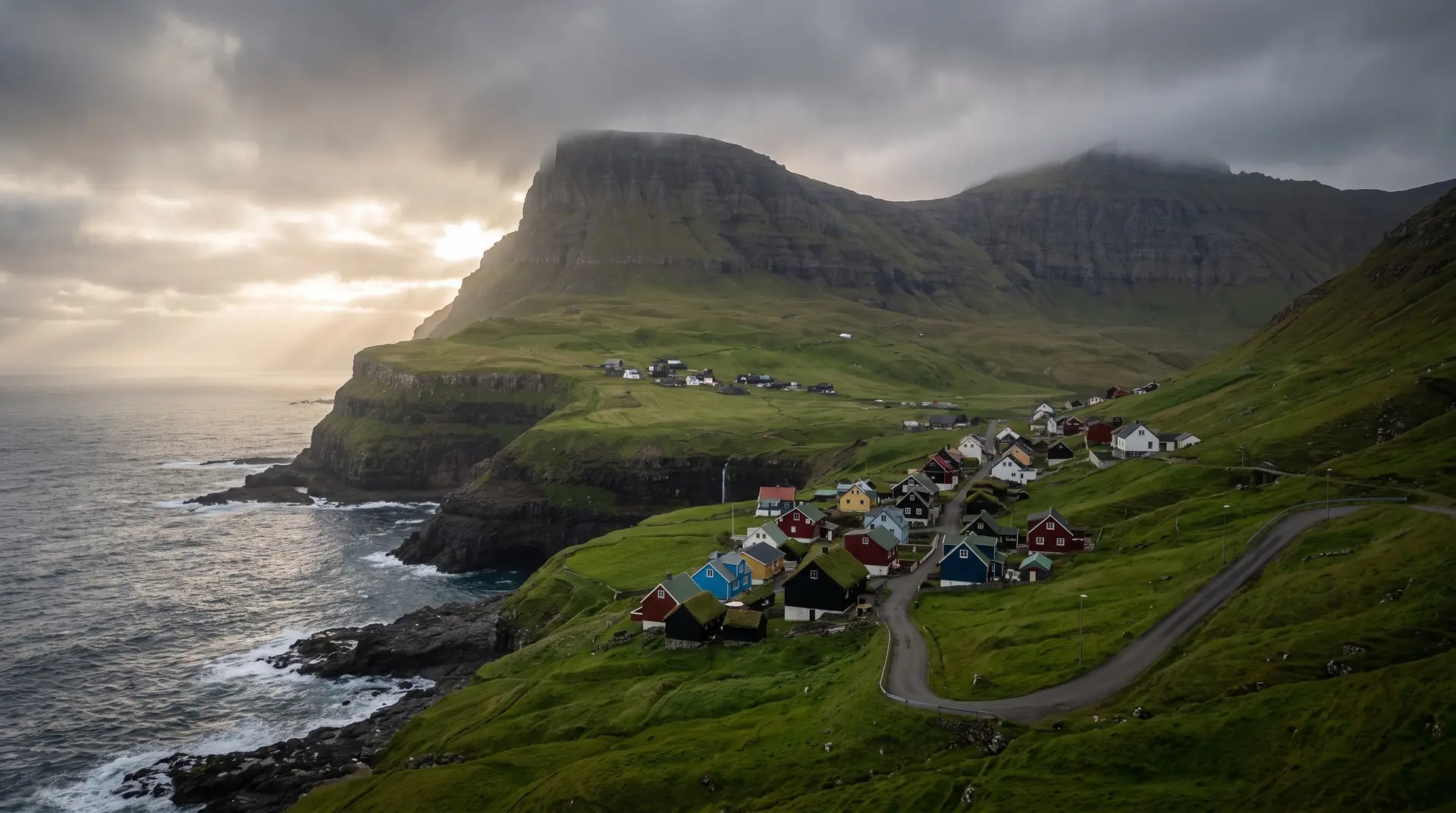
Sumba.
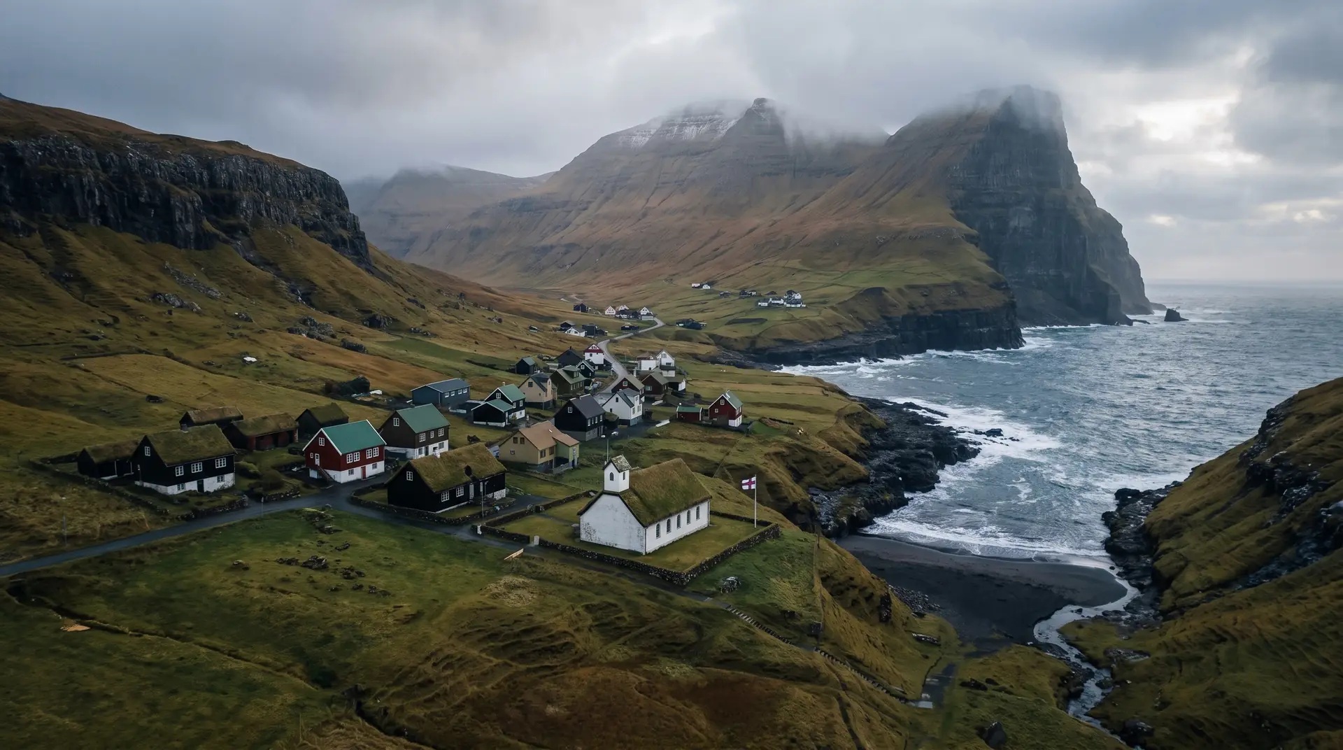
The last village in the country, in a valley under Beinisvørð.
Two hundred and forty-three people live at the southern end of Suðuroy, beneath the Beinisvørð cliffs and a short drive from Akraberg lighthouse — though the true southern point of the Faroes is a stack out in the water beyond it.
- 01The southernmost address in the country, and entirely aware of it
- 02Chain dancing is a living tradition here, not a demonstration
- 03Two ways in: the tunnel, or the old road along the cliff
- 04Akraberg’s light is not the southern tip — a stack offshore keeps that title
The place, as it lets itself be seen.
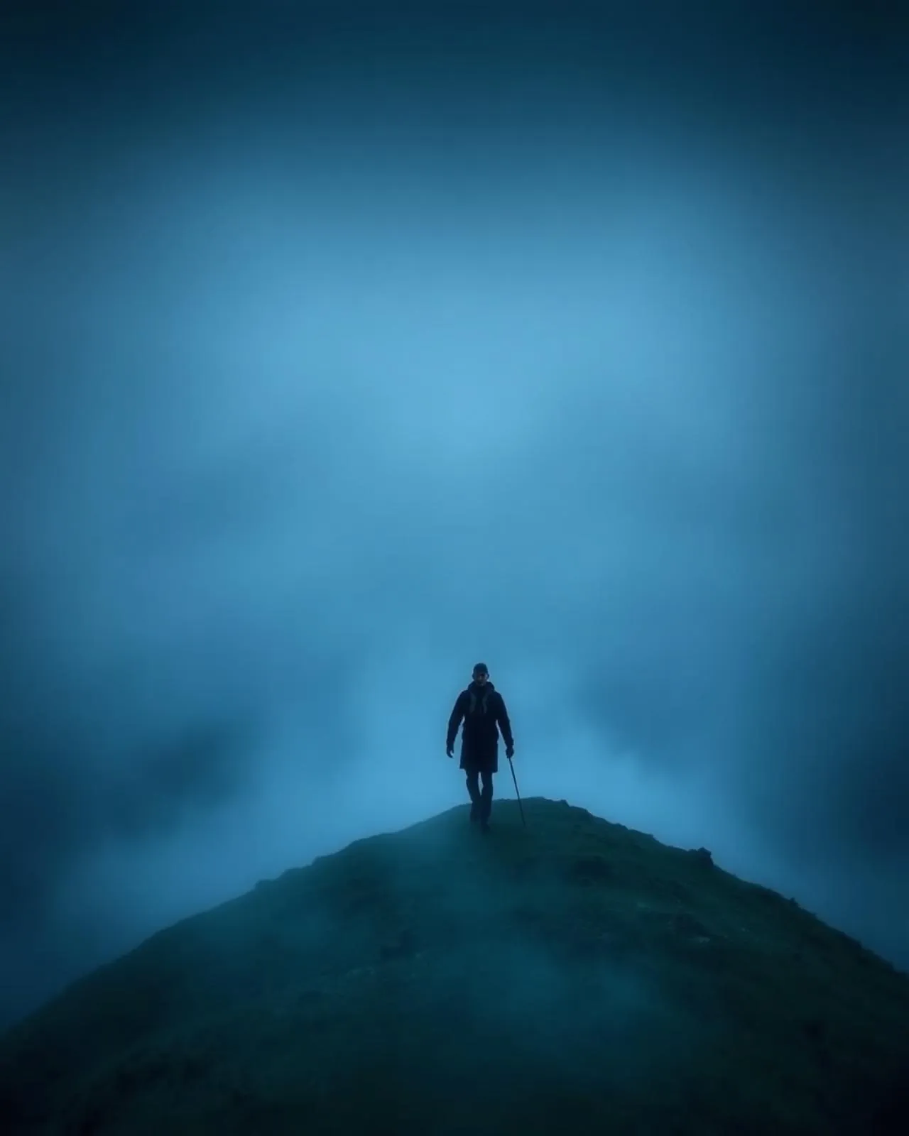
How the weather
behaves here.
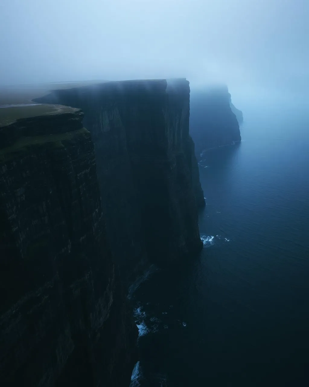
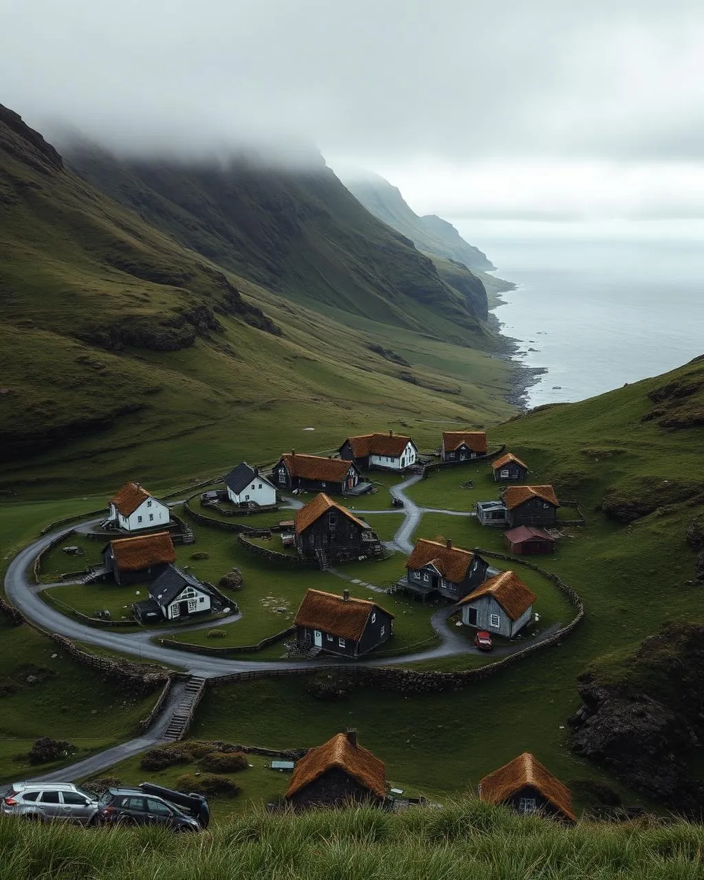
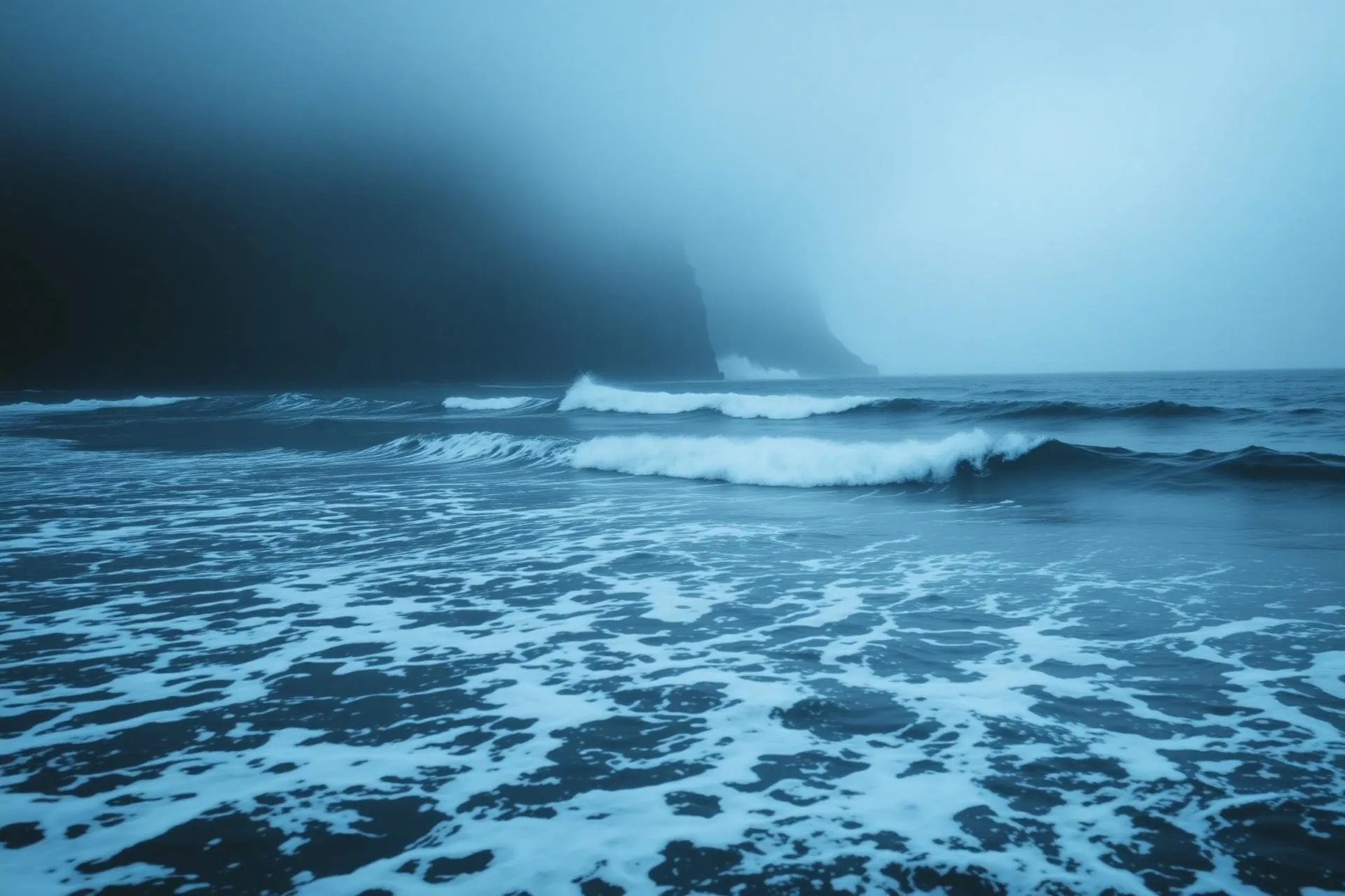
Read the air before you arrive. Fronts pass fast in the Faroes — fog, wind, and light can rewrite this place within an hour.
How to arrive,
how to stay.
- Access
- Ferry to Krambatangi, then south through Tvøroyri, Vágur and Lopra via the Sumbiar tunnilin · 45–60 min from the terminal
- Parking
- Free in the village · Sumba Camping has pitches with power, toilets and showers
- Ferry
- Tórshavn → Krambatangi · 2 h 05 · 2–3 sailings daily · fares at ssl.fo
- Fees
- No village charge · the Sumbiar sóknar bygdarsavn museum publishes no admission price, so ask locally
- Difficulty
- Easy
- Duration
- Half a day with Akraberg · 2–3 hours on the cliff walks
- Best season
- May–September · the old mountain road wants fair, snow-free weather
- Crowd level
- Quiet
- Drone
- Restricted
- Safety
- High cliffs and narrow roads · take the old Lopra road only in clear conditions
A field guide
for the light.
Late western sun with Beinisvørð already in shadow above the roofs. From the old mountain road, set the village low in the frame and give three-quarters of it to the cliff — the scale relation is the whole picture.
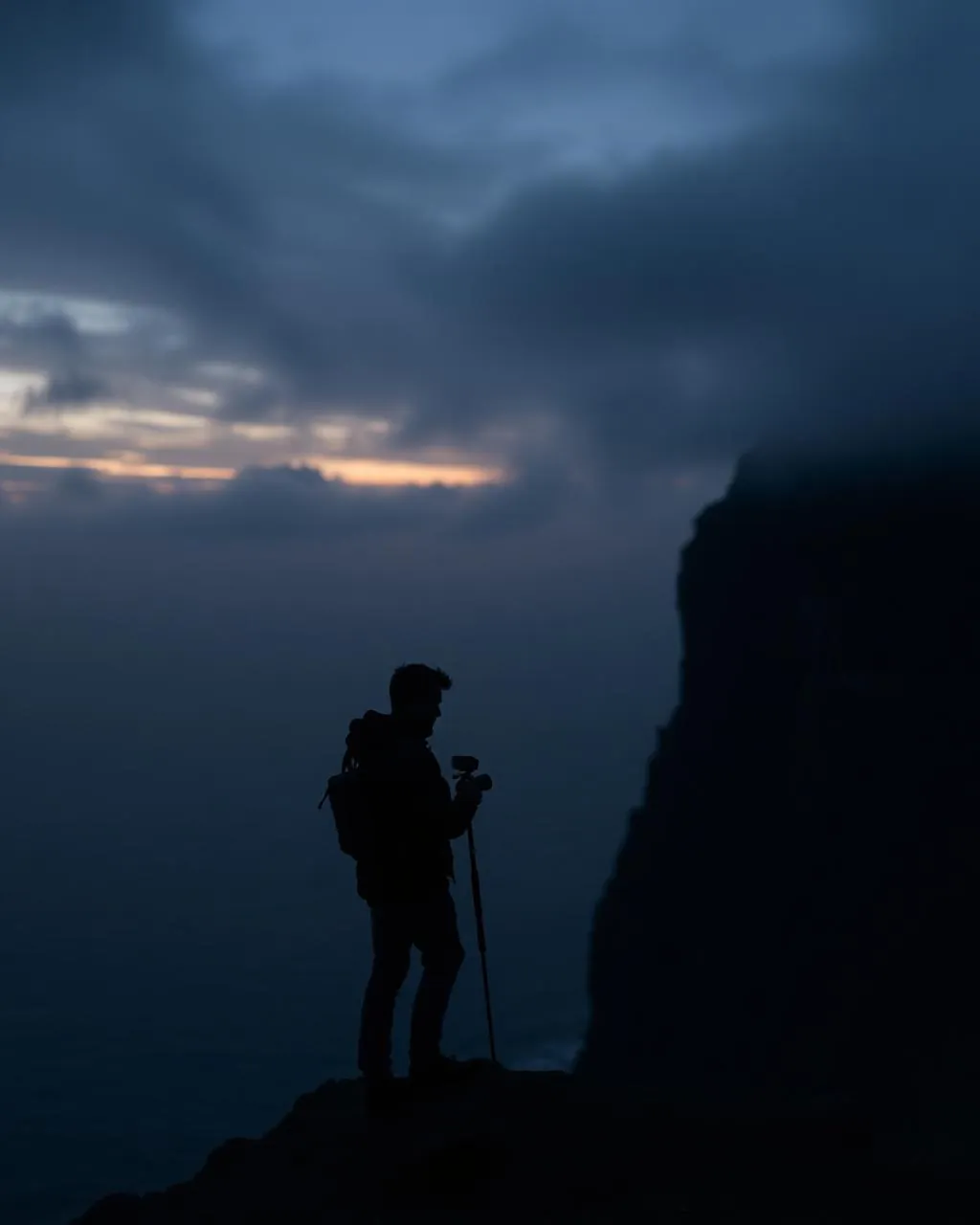
- 24–70mm standard
- 70–200mm to the stack off Akraberg
- 16–35mm on the old road
150 m from the houses and the lighthouse, under 120 m · the updraft off Beinisvørð is no place to test a small aircraft.
June–July for long evenings · autumn for weather on the cliffs
61.40° N · 6.71° W
Surrounding villages, hikes, and weather overlays — open the full atlas to explore in motion.
Within an
afternoon's drift.
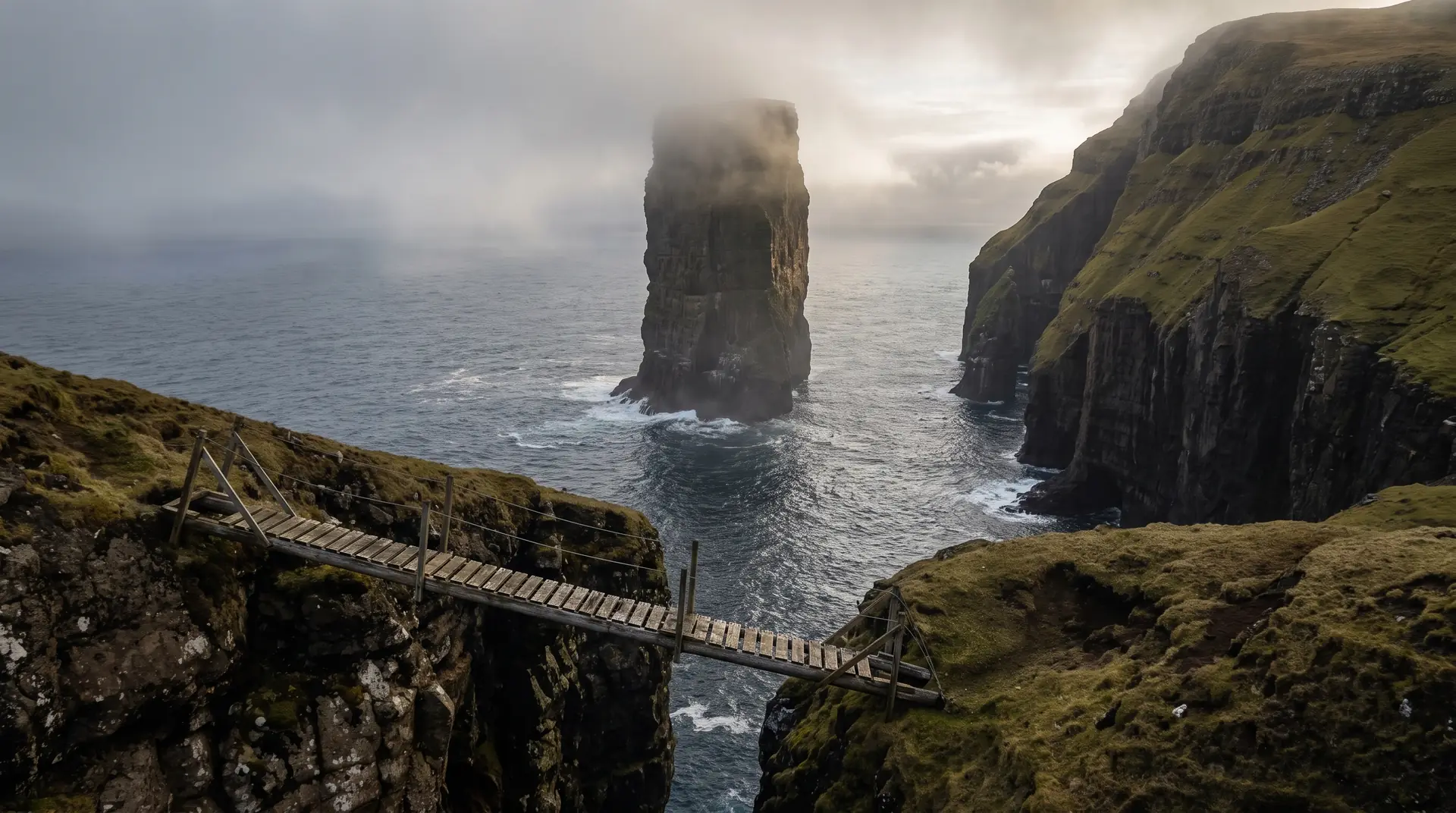
Last village, and the stone past it.
“The road ends, then the lighthouse ends, and then a stack out in the water quietly takes the record.”
Sumba sits in a narrow valley at the foot of Beinisvørð, as far south as anyone in the Faroes lives. Getting there is now routine — the Sumbiar tunnilin runs through from Lopra year-round — but the alternative survives: an old mountain road that climbs the Beinisvørð ridge and is worth every minute it costs in fair weather.
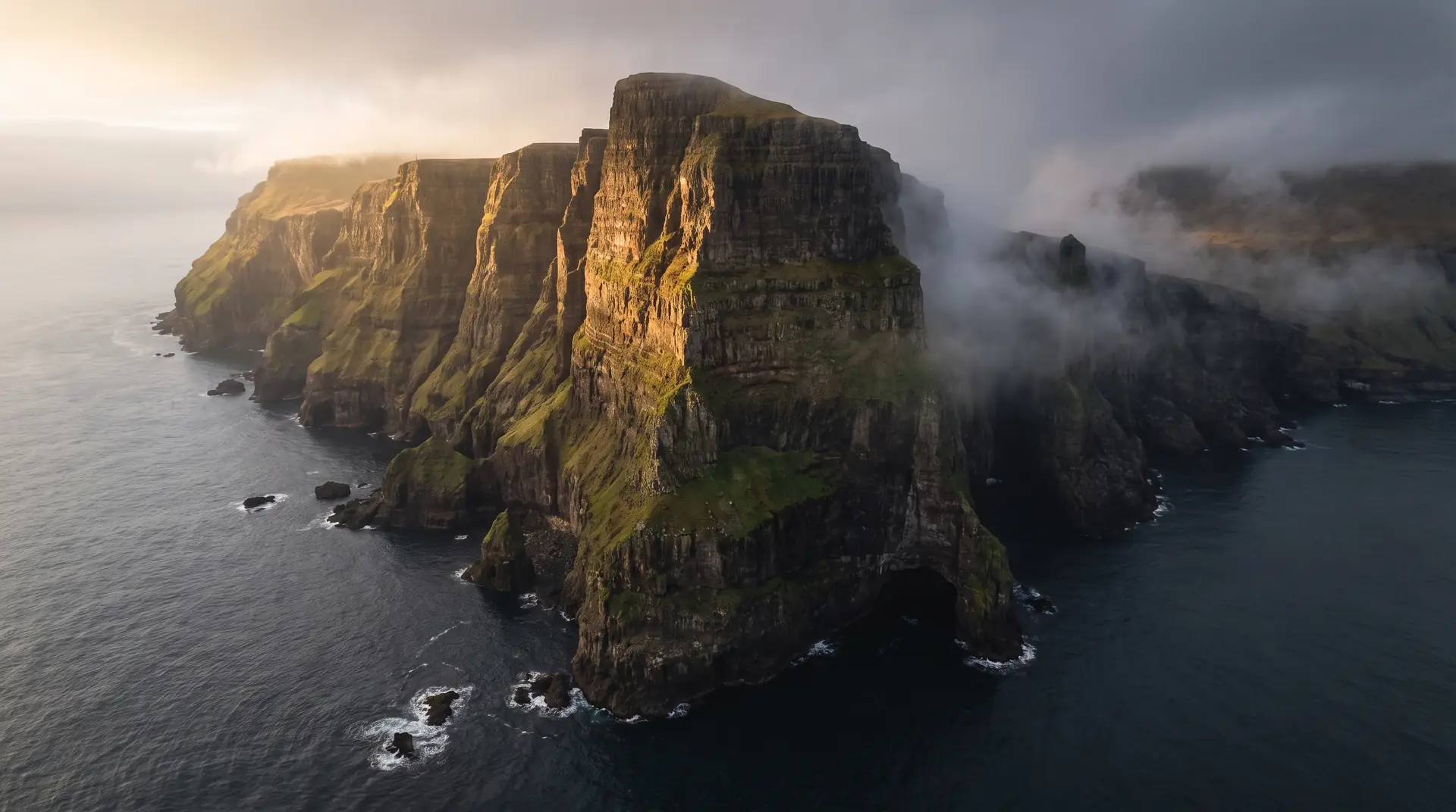
Beyond the village the land runs out at Akraberg, where a lighthouse marks the southern end of Suðuroy. It does not, however, mark the southern end of the country. That belongs to Sumbiarsteinur, the stack sometimes called Munkurin, standing offshore with nothing behind it until the Hebrides.
What Sumba is known for at home is not the geography but the dancing. The Faroese chain dance — a ring of people, a ballad sung from memory, no instruments — is alive here in a way it is not everywhere, and the village museum keeps the rest of the local record for anyone who asks.